Thursday – Sunday:
We are back into a drier pattern Thursday day through the weekend. It’s still fairly cold through Friday with highs in the 30s at the base and 20s up top. Then warming a bit for the weekend with highs into the 40s at the base and 30s up top. We should see mostly sunny skies each day.
Monday – Tuesday:
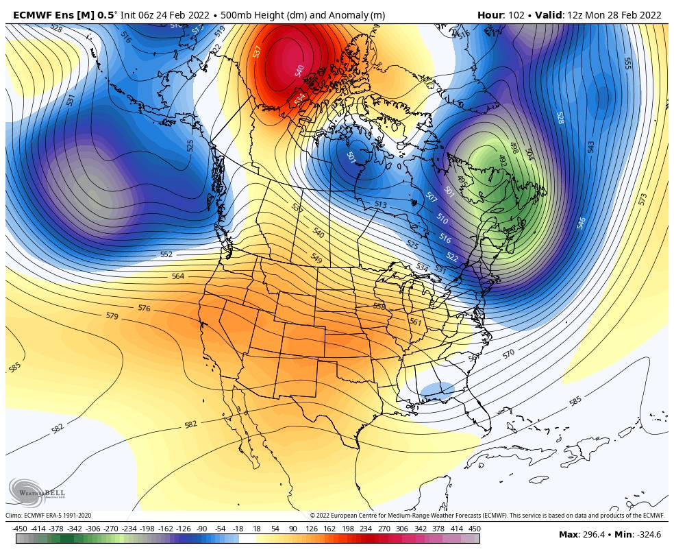
We have been talking about how the forecast models are at odds over the storm track early next week. As will get closer it appears the storms should stay to our north through Tuesday. We could see a few clouds and breezy winds but it looks mainly dry right now. Highs into the 40s.
Long-Range:
Starting around March 2nd-3rd the pattern is forecast to begin to shift allowing storms to track farther south into northern CA. We’ll have to see if we see storms and how much moisture they could bring. The latest forecast model runs do show a few week systems possible starting Wednesday through the end of the 1st week of March.
Looking at the 2nd week of March, the long-range models continue to suggest the pattern could continue to evolve into a better pattern for wetter storms. We’ll continue to watch the trends as we get closer.
BA


