

Week 1:
The storm track is shifting farther south into the Pacific NW this weekend and beyond, and we could see some clouds to tease us at times, but the storm track will stay to our north for another week as high pressure is anchored over CA.
That will bring us not only a dry but a mild week ahead, with daytime highs into the 50s for the lower elevations and 40s on the peaks. Overnight lows may stay too warm to make more snow for most of the mountain, but I hope I’m wrong.
Mid-month:
There is a high-pressure block near Greenland with the trough underneath over the Eastern U.S., where the cold and snow have been. We are still forecast to see that breakdown next weekend with the trough in the East shifting NE.
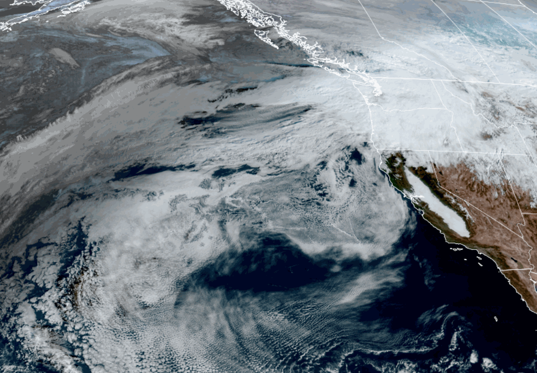
But the high-pressure ridge over the Bering see is forecast to be farther north now by mid-month, and the downstream trough in the northeastern Pacific is not digging as far south or east towards the West Coast, compared to what the models were showing yesterday. In the middle is high pressure over the West.
The storm track will continue to be into the Pacific NW and will try to push into northern CA, but without a deeper trough, it will be hard for bigger or colder storms to do so. The long-range models continue to show storms 10+ days out, but we continue to not take much merit in them for now. At least there is a chance for some storms showing up around and beyond mid-month still.
Long-Range Outlook:
Looking out into the 3rd week of December, the long-range models suggest that the ridge could be stuck over the southwest, keeping the storm track mainly in the Pacific NW.
Northern CA could be right on the southern edge of the storm track. So some storms could dig far enough south for a little snow in the northern Sierra even though currently the pattern doesn’t look great for any bigger storms.
I’ll continue to watch closely and to keep you updated on the latest as we look for a pattern change and storms…
BA
