Saturday:
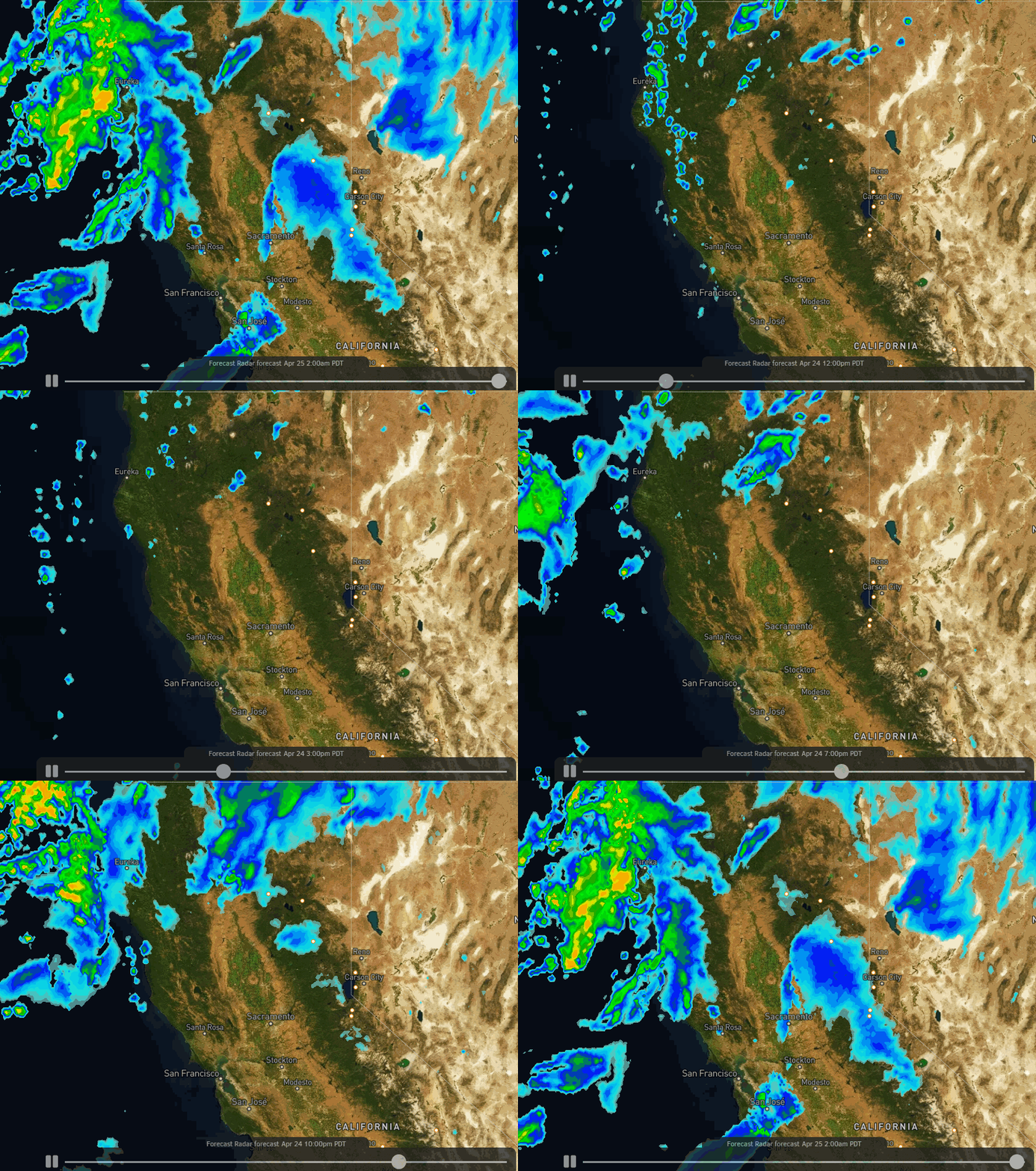
We are seeing some clouds and gusty winds as the next storm moves in. We could also see some scattered showers Saturday with snow levels around 7000-7500 ft. Ridgetop winds are gusting to 70+ mph up top affecting some upper mountain lifts. They will remain gusty through the day. Highs in the 30s up top and 40s at the base.
Sunday Storm:
Snow showers increase after midnight. We should see snow showers through the day on Sunday and into Sunday night. Then tapering off by Monday morning. Highs only in the 30s. Ridgetop winds may come down some for Sunday with gusts of 40-50+ mph up top.
The storm has been trending drier over the past 24 hours. The latest forecast model runs have pulled back on the snowfall amounts for the mountain through Sunday night. By Monday morning we could now see 2-5 inches at the base and 5-10 inches on the mountain.
Monday:
We clear out Monday with some sun and a few scattered snow showers possible. Highs in the 30s on the mountain and 40s at the base. Lighter winds expected.
Tuesday – Friday:
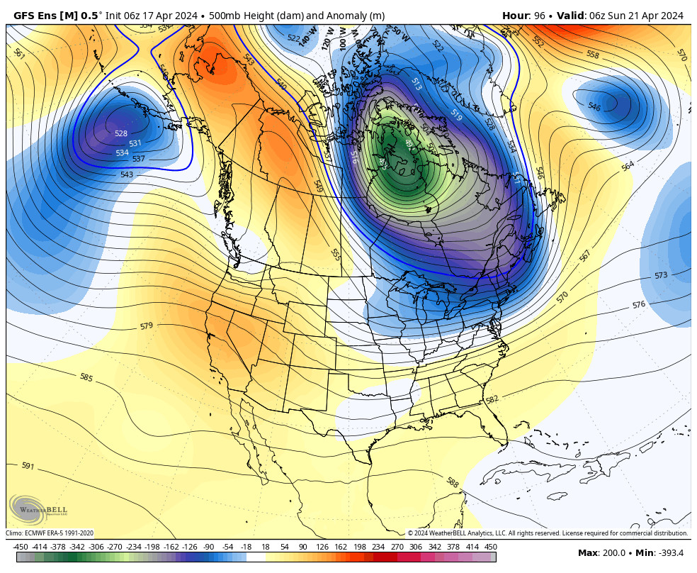
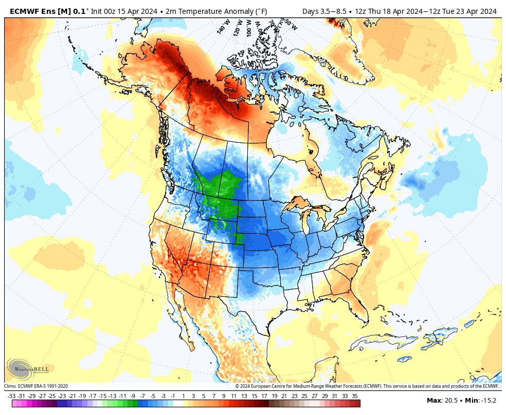
High pressure builds in Tuesday through the end of the week. We should see sunny skies and warming temperatures. Highs in the 40s up top and 50s at the base Tuesday. Then 50s & 60s through the end of the week.
Long-Range:
We could see a trough dig into the Great Basin during the 1st week of May. That could cool us down slightly with a chance for afternoon showers some days. More on that as we get closer.
BA

