Skip to content
Palisades Tahoe Logo Palisades Tahoe Logo Palisades Tahoe Logo
Explore
Main Menu
  • Explore Palisades Tahoe
  • Base to Base Gondola
  • Our New Name
  • Explore Legendary Lifts
  • Palisades Tahoe Blog
  • About Lake Tahoe
  • About Us
Plan Your Visit
Main Menu
  • Tickets & Passes
  • Lodging
  • Lessons & Guides
  • Deals & Packages
  • Rentals & Demos
  • Travel Here
  • Getting Around
Mountain Information
Main Menu
  • Snow and Weather
  • Lift and Grooming Status
  • Webcams
  • Hours of Operation
  • Trail Maps
  • Parking & Road Conditions
  • Snowfall Tracker
Events & Activities
Main Menu
  • Events Calendar
  • Activities
  • Dining & Apres
  • Shopping
  • Things To Do In Lake Tahoe
  • Groups, Meetings & Weddings
  • Ski & Snowboard Teams
IKON PASS HOLDER LODGING DISCOUNT

Ikon Pass holders save up to 20% on slopeside lodging at The Village at Palisades Tahoe.

SLOPESIDE LODGING
Icon / FlashCreated with Sketch.
View All Offers
  • Weather

Unsettled Wed Evening, Light Snow Possible Thu Night – Fri

  • Jan 6, 2021
  • 7:12 am

Wednesday – Thursday:

Wednesday we may start mostly sunny with increasing clouds during the afternoon. Highs in the 30s on the upper mountain and 40s at teh base, with ridgetop winds increasing from the southwest to 40+ mph during the afternoon.

The next (weak) system moves through quickly Wednesday evening. Snow levels starting above 8000 ft. & falling to 7000 ft. Based on the latest forecast model trends, we may just see a snow shower or two at best on the upper mountain, with rain showers possible at the base.

Another break in the action for Thursday with mostly sunny skies and highs in the 30s on the mountain and 40s near the base. Lighter winds expected in the morning and east winds gusting to 30+ mph up top in the afternoon.

Thursday Night – Friday System:

Another weak system moves through from around 10 PM Thursday through Friday morning. Still some discrepancies on how far south this system tracks. Some forecast models miss us completely, while others show up to several inches of snow possible on the mountain. 

Ridgetop winds could increase to 80+ mph likely closing some upper mountain lifts Friday. Snow levels could start above 8000 ft. Thursday night and falling to the base by Friday morning. Based on the latest trends, we could see 0-2 inches of new snow at the base & lower mountain, and 1-3 inches on the upper mountain by Friday afternoon.

Long-Range:

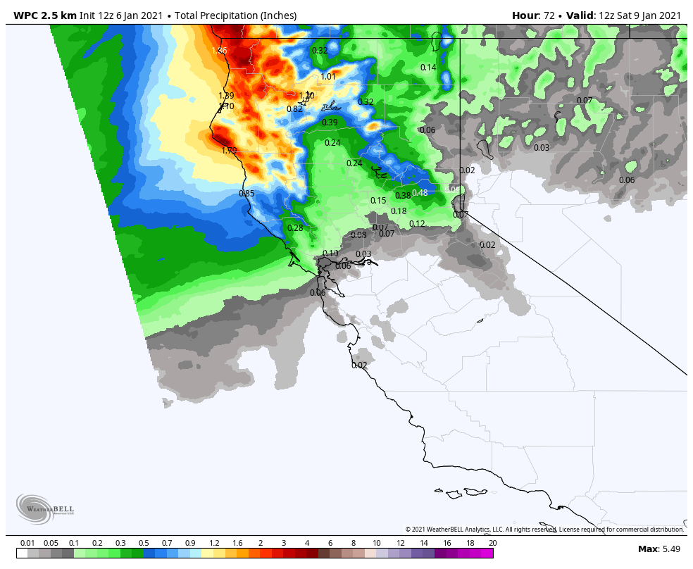
A drier pattern begins to build in starting this weekend and could last for a week or more. Expecting mostly sunny skies for the weekend with highs in the 30s up top & 40s at the base. That weather could continue through the week of the 11th with temperatures becoming warmer later in the week, with highs in the 40s on the mountain to near 50 degrees at the base.

We will continue to watch the trends in the pattern beyond mid-month to see if/when we could transition back into a more active storm pattern again.

BA

lake tahoe weather snowfall forecast Squaw Weather Forecast
Bryan Allegretto
Bryan Allegretto

Share this article:

Recent Posts

  • Weather ·
  • March 29, 2023·

Partly Sunny Wed-Sun w/ Snow Showers Possible

Snowfall Reports: 12 inches of new snow fell on the mountain in the past 24 hours as of 5 AM…
Read more
  • Weather ·
  • March 28, 2023·

Snow & Strong Winds Tuesday

Tuesday  – Wednesday Storm: Snow showers are pushing in Tuesday morning, with heavier snow expected later in the morning into…
Read more
  • Weather ·
  • March 27, 2023·

Snowstorm Tuesday, Snow Showers Wed-Sun

Monday: Monday will start out sunny with highs in the 30s at the base and 20s up top. Some high…
Read more

Social

Instagram Twitter Facebook Youtube

Contact

   Email Us
   1.800.403.0206

Our Partners

U.S. Forest Service Logo
1960 Olympic Valley Road
Olympic Valley, CA 96146

©2022 Palisades Tahoe

Alterra Mountain Company
  • Privacy Policy
  • Terms of Service
  • Photo Upload Terms of Use
  • Accessibility
  • Do Not Sell My Personal Information
  • Privacy Policy
  • Terms of Service
  • Photo Upload Terms of Use
  • Accessibility
  • Do Not Sell My Personal Information