

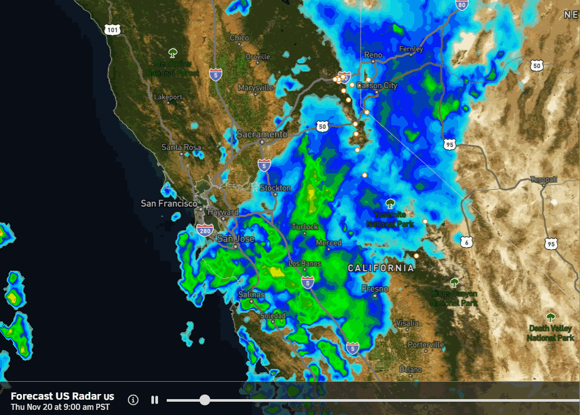
Thursday Snow Showers:
Snow showers are expected during the day on Thursday, and then clearing out Thursday evening. The snow levels are to the base with wet snow falling all the way down in the village. The snow levels are expected to remain near the base through Thursday evening. Highs in the 30s. The winds are not that strong with this system, and will be turning from SW to NE in direction by Thursday afternoon.
By Thursday night, we could see a coating up to a couple of inches of snow near the base and on the lower mountain, with 2-4 inches of snow possible for the upper mountain.
The Weekend:
We will transition to a drier pattern for the weekend. It will start off on the colder side on Friday with highs in the 30s to near 40 degrees down near the base. Then we warm through the weekend, with highs into the 50s for the lower elevations by Sunday, and 40s up on the mountain.
Thanksgiving Week:
High pressure is expected to be centered over the West Coast for Thanksgiving week. That should bring us a quiet week with a lack of storms, mostly sunny skies, and highs into the 50s for the lower elevations, with 40s for the upper mountain.
The problem will be inversions after the weekend, with overnight lows possibly/likely staying above freezing on the mountain, with the coldest temperatures in the valleys. We will add a little snow to the thin snowpack on the upper mountain on Thursday, with some snowmaking possible behind the storm, but not looking good to increase snow coverage next week.
Long-Range Outlook:
The long-range models continue to suggest that the ridge over the West Coast backs west around the end of the month. Some of the deterministic models show a storm trying to drop in around the same time (29th -30th). But the European AI model seems to have been beating the other models with the forecasts recently, and it doesn’t have a storm near the end of the month.
The good news is that beyond Thanksgiving, we may see colder air flow in from the north, bringing us better snowmaking conditions at night. The colder pattern could start around the 29th and continue into the beginning of December.
As we go into December, I’ll be watching the teleconnection patterns closely, looking for any signs of a pattern change that will bring storms back to the northern Sierra. Let’s hope it’s sooner than later…
BA
