

Wednesday – Thursday:
We will have sunny-mostly sunny skies and lighter winds for Wednesday into Thursday. Highs into the 30s on the upper mountain and 40s at the base. Beautiful skiing weather once the sun softens the snow.
We could see some clouds start to creep in from the next system off the coast that will start to move into the Pacific NW on Thursday, and it will try to push some clouds into the northern Sierra by the end of the day.
Thursday Night – Friday System:
Snow showers are expected to move in later Thursday evening into Friday morning, with snow levels rising and rain & snow showers continuing into Friday afternoon. Then clearing out Friday night.
Highs into the 30s on the mountain and 40s at the base on Friday. Ridgetop winds increasing to 60-70+ mph from the southwest Friday morning which could affect some upper mountain lifts, and only slowly dropping into the evening.
Snow levels look to start out around 6500-7000 ft. Thursday evening and then dip to the base overnight into Friday morning. Then rising through the day and into the evening on Friday, up to 7000-8000 ft. by the time the showers clear out. That means low snow ratios and dense/wet snow above the snow line on the mountains, and some rain at the base.
By early Saturday morning we could see snowfall totals of:
- 0-3 inches at the base.
- 1-4 inches at mid-mountain elevations.
- 2-5 inches up top.
The snow on the lower mountain and base will start to melt by Friday as the snow levels rise into Friday night. So it will be hard to get final measurements above the low end of the forecast.
Weekend Weather:
The latest model runs have now trended drier for the weekend with the storms mostly staying to the north of the northern/central Sierra.
If that verifies we may see a mix of clouds and sun for the weekend but stay mainly dry. Maybe a scattered shower or two. Highs warming into the 40s, and possibly into the 50s at the base by Sunday, especially if we see some sun. The winds are expected to be lighter as well.
It may turn out to be an ok weekend weather-wise if the storms stay to our north. We’ll have to see if the models will flip-flop again over the next few days…
Monday – Tuesday:
The latest model runs suggest another system could brush the northern Sierra again on Monday, similar to the Friday system. This time the snow levels are higher and could stay above 8000 ft. So mainly rain showers are expected if we see precipitation on Monday.
We would likely see another round of gusty winds as well. Highs into the 30s for the upper elevations and 40s for the lower elevations and base. The Monday system could also bring even less precipitation near the Tahoe basin. The latest model runs show this system barely reaching the mountain with some light rain showers.
Tuesday we could see mostly sunny skies with lighter winds and highs into the 40s.
Long-Range:
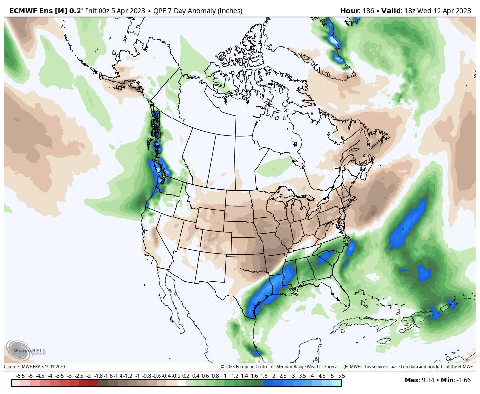
By the 12th through the 3rd week of April, the long-range models continue to show troughing over the West Coast through most of the period. With the ridge in the northeast Pacific, the storm track could mainly be to our north. To get a more significant storm we would likely need a cut-off low to form and spin up into the trough.
What seems more certain than how many storms or how much precipitation we could see is that we should see below-average temperatures through most of the period. Mainly weak systems if any are expected to drop into the trough over CA.
We will keep an eye out for any cut-off lows that could drop into CA bringing the chance for measurable precipitation and snowfall. The chance is there through the 3rd week of April. Until then, it looks like a spring-like pattern with only weak systems and higher snow levels with some nice days in-between.
BA
