Sunday Storm:
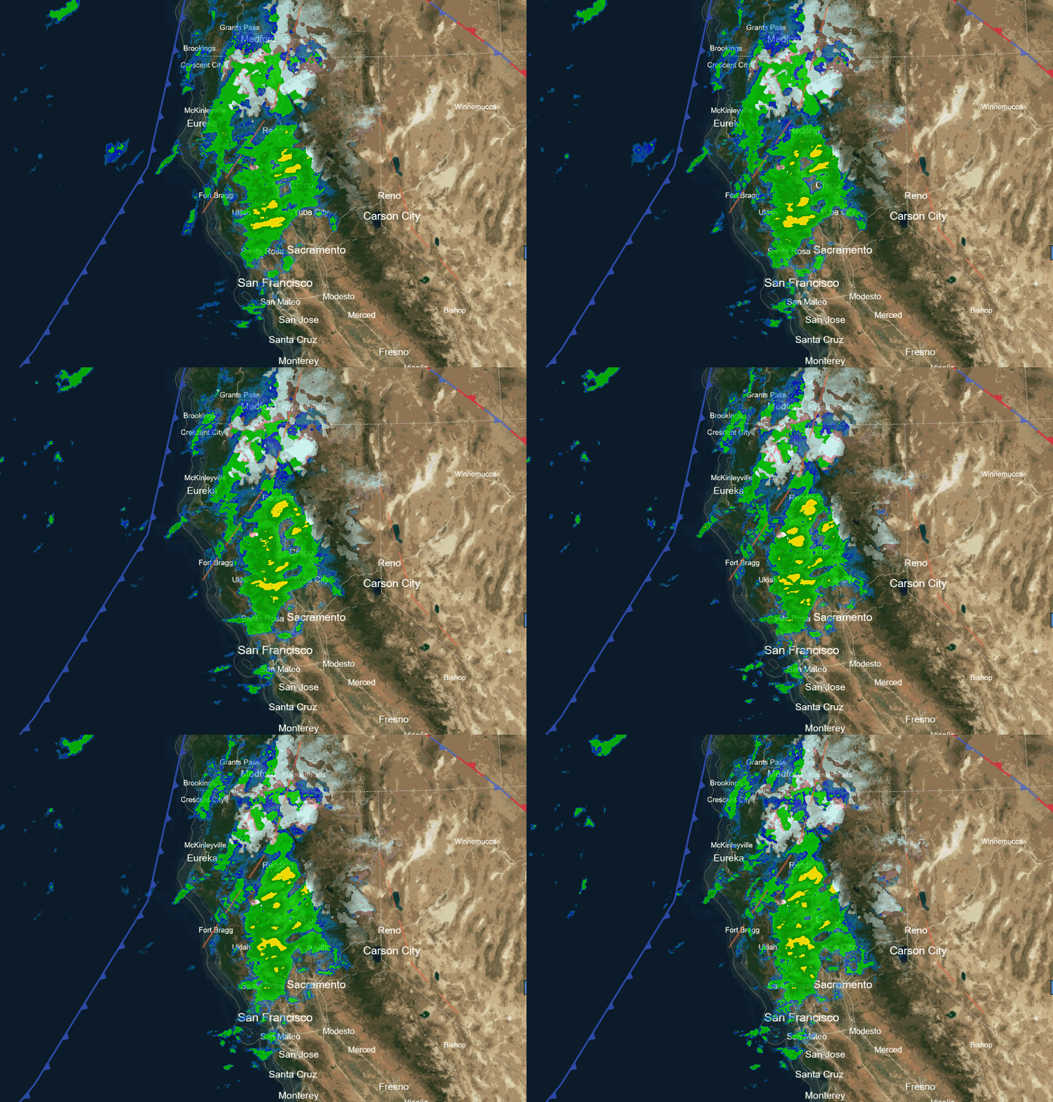
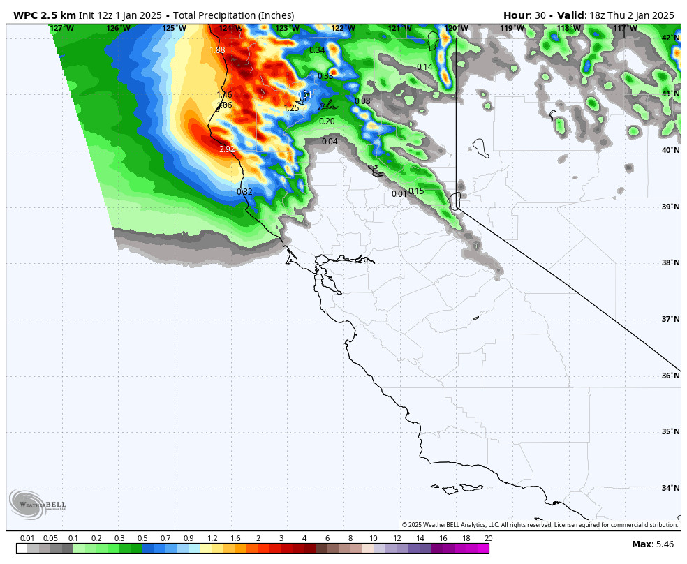
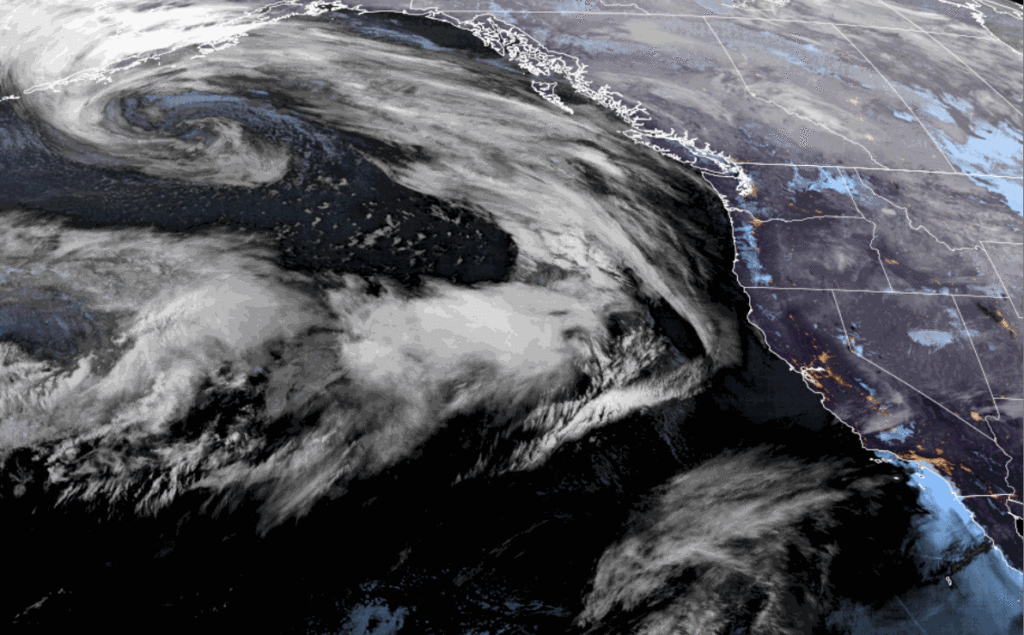
We will see precipitation increase during the morning hours on Sunday. The heaviest precipitation will be with the front passage during the day with post-frontal snow showers possible into Sunday evening before the storm clears out later Sunday night. Highs in the 30s. Ridgetop winds gusting up to 80-100+ mph which will close some ski lifts.
Snow levels are expected to start around 7000 ft. and fall pretty quickly during the morning to around 6100-6500 ft. but they hover there until around 1 PM before falling behind the front down below 5000 ft. during the evening as the storm begins to clear. That puts snow levels very close to the base during the heaviest precipitation.
If the heavier precipitation drags snow levels a little lower then we could see wet snow piling up at the base most of the day, if not, we could see a mix with little accumulation until later in the day. My forecast is still on the conservative side but hoping for a colder solution. By Sunday night we could see around 2-5 inches at the base, 6-11 inches near mid-mountain, and 9-14 inches up top.
Monday – Thursday Weather:
Monday will be a nice day with some fresh tracks likely if some ski lifts are closed all day Sunday. Overnight lows in the teens will help to dry out the snow on the ground. We will see mostly sunny skies for Monday with lighter winds and highs in the 30s. Maybe similar to what Christmas morning conditions were?
High pressure builds over the southwest up into CA through Thursday. That will bump the storm track to our north into the Pacific NW through the end of the week. We expect mostly sunny days with highs in the 30s on Tuesday and then 40s on Wednesday and Thursday. We could see a few clouds around on Thursday if a storm moving into the Pacific NW tracks far enough south.
Friday Storm Chance:
The European model is still trying to push a storm far enough south to reach us on Friday but most of the other models still keep it to our north. It could at least come close enough for some clouds and gusty winds. We’ll keep an eye on this system all week to see if it could bring some rain & snow Friday into Friday night.
Long-Range Forecast:
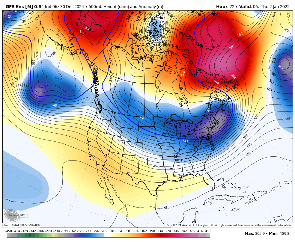
By next Sunday through the week of the 6th, the long-range models continue to show amplified high pressure ridging up the West Coast and over Greenland in a classic -NAO (north Atlantic oscillation) pattern with the troughing stuck in the east. The amplified ridge over the West Coast is expected to block storms farther north with a dry pattern for the West Coast.
The question is when will this pattern shift? Right now the models show it stuck possibly through the 2nd week of January. By mid-month, the active phase of the MJO (Madden Julian oscillation) is forecast to be over the Indian Ocean. That may finally lead to a change going into the 3rd week of January.
Until then, we’ll continue to watch for any storms that could try to sneak in during the drier pattern and hope that the weather patterns shift sooner rather than later…
BA


