Snowfall Report:
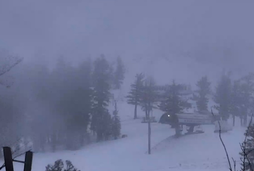
The afternoon heating helped to enhance some of the convective snow showers on Sunday, especially during the afternoon/evening. We were only expecting a dusting up to 2 inches of snow from the snow showers, and for the 3rd day in a row, we saw more snow than expected with 4 inches of new snow falling on the mountain!
That is the icing on the cake to the 3-day total of 31 inches! The total for March is now up to 137 inches and counting, and we have a lot more snow on the way this week.
Monday – Tuesday Weather:
Mostly sunny for Monday and Tuesday with lighter winds. A few clouds around and a chance for a scattered snow shower or two. The best chance for a shower will be in the afternoons with the daytime heating and afternoon convection. Highs in the 30s on the mountains and 40s down near the base
Wednesday – Thursday Storm:
Wednesday will be a transition day similar to last Friday, with increasing winds and clouds throughout the day. Highs in the 30s for the upper elevations and 40s for the lower elevations. Ridgetop winds from the southwest gusting up to 70-80+ mph by the end of the day closing some ski lifts early. Rain & high elevation snow showers could reach the mountain by late afternoon.
Wednesday evening the main band of steadier precipitation associated with the cold front pushes in and moves through with the cold front overnight. We’ll see a period of heavier snowfall overnight with falling snow levels, starting up around 7000-7500 ft. Wednesday evening and dropping below the base overnight.
Then scattered snow showers for Thursday into Thursday night with highs in the 30s. Ridgetop winds will still be gusty Thursday morning and then coming down through the afternoon, so we could see some lift-opening delays. Most of the precipitation/snow is expected to fall by Thursday morning, which means most falls Wednesday night during lower snow ratios.
By Friday morning we could see storm totals of around 4-8 inches at the base, 8-13 inches near mid-mountain, and 12-17 inches up top, with most of that falling by Thursday morning.
Friday – Sunday Storm:
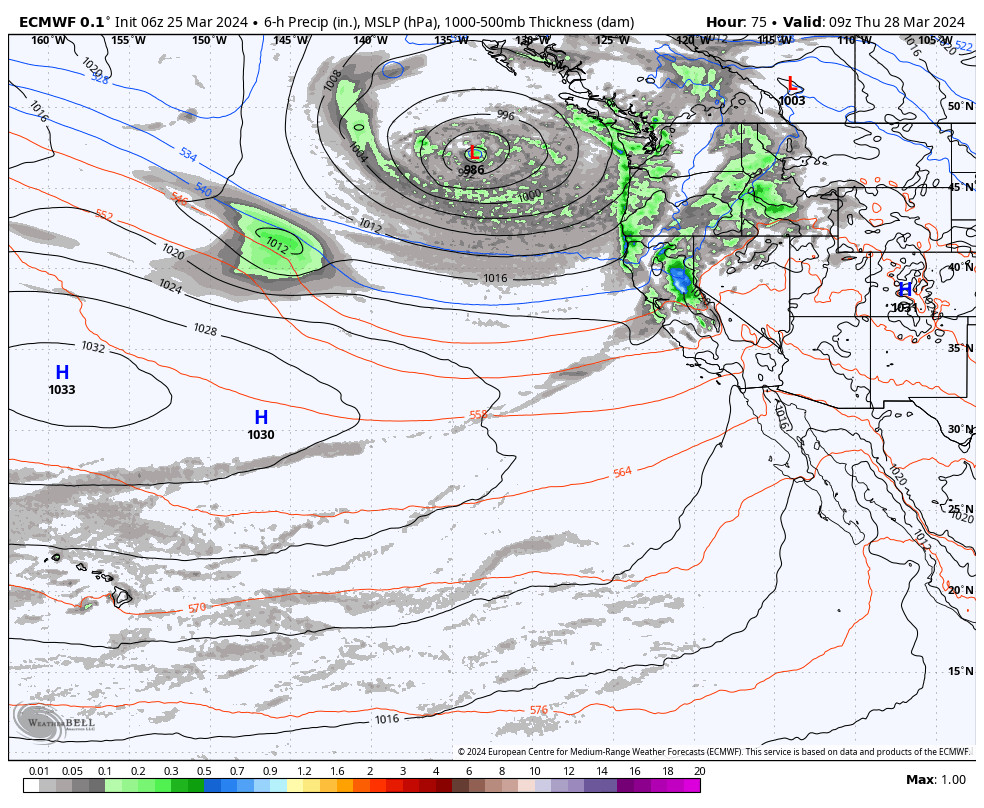
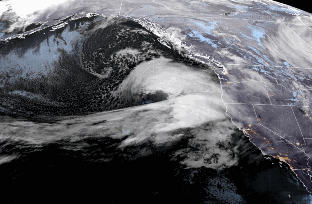
The latest model runs are coming into better agreement with the weekend storm, and it’s an agreement on a wetter scenario. They have the closed low dropping down the West Coast and then inland through southern CA on Sunday still, but have the jet stream and a decent subtropical moisture feed aimed at the Sierra on the east side of the low into Saturday now.
Then easterly flow on the back side of the departing low on Easter Sunday could keep scattered snow showers around. Highs into the 30s each day. Southerly winds don’t look overly strong, but gusty over the ridges possibly affecting some upper mountain lift operations.
Snow levels start low Friday morning and then rise close to the base Friday afternoon. The heaviest snow is expected Friday night into Saturday morning with snow levels falling back below the base. Snow ratios could average around 8-13:1 between 6000-9000 ft. for the heaviest part of the storm Friday through Saturday, and then higher ratios Saturday night into Sunday.
By Monday morning we could see storm snow totals of around 9-14 inches at the base, 12-17 inches near mid-mountain, and 14-20 inches up top.
Long-Range Forecast:
The long-range models still show high-pressure building in over the West Coast by next Monday the 1st of April through Wednesday the 3rd. That will bring a brief break in the unsettled pattern with mostly sunny skies expected each day, and highs likely warming into the 40s.
By the 4th of April through at least the weekend of the 6th-7th, the long-range models continue to show the ridge shifting off the coast with a trough over the West, possibly continuing that pattern into the 2nd week of April. That will reopen the door to storms, and the operational models are showing storms dropping into the trough starting around the 4th.
We’ll continue to watch the trends. No prolonged spring weather in sight right now…
BA


