Tuesday Winds:
We have gusty northeast winds Tuesday with ridgetop gusts up to 50-70+ mph, which could affect some upper mountain lift operations for Tuesday. Highs in the 30s but the wind chills will make it feel much colder to your skin with the strong winds.
Dry Pattern Continues:
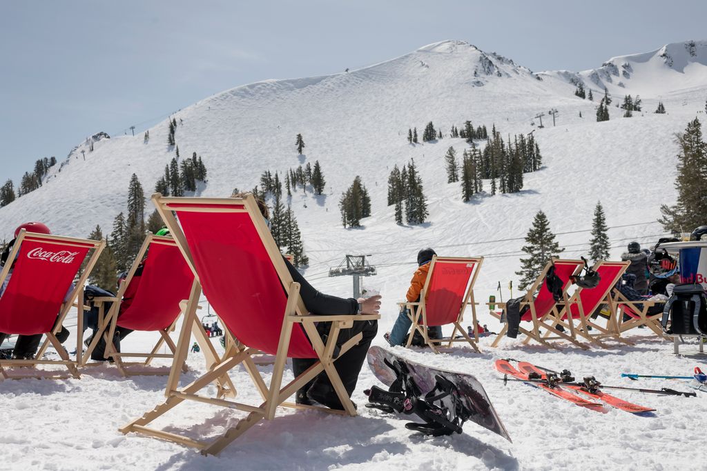
The northeast winds continue through Thursday but not as strong as Tuesday. Mostly sunny days continue with highs warming into the 40s for the lower elevations through Friday.
The Weekend:
The high-pressure ridge over the West Coast shifts west off the coast slightly for the weekend with a trough digging west into the Western U.S. That will continue our dry pattern with sunny skies expected during the day through the weekend, but it will bring in some colder air to the region with high temperatures likely dipping into the 30s.
Long-Range Forecast:
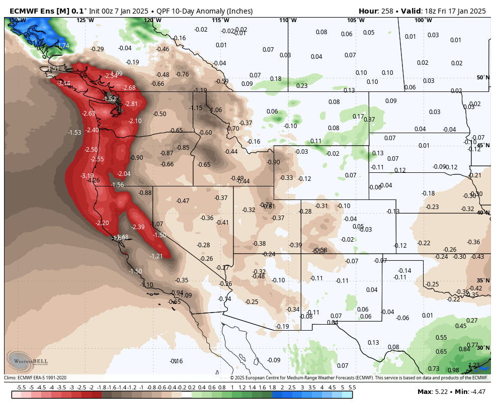
The long-range models show the ridge shifting back east in over the West Coast next week. That will continue our dry pattern through Friday the 17th. It will likely also warm temperatures back into the 40s for highs.
The long-range forecast models continue to show the pattern starting to shift around the weekend of the 18th-19th, but have high pressure still close enough to block wet storms. It could open the door to weak systems possibly dropping in from the north as well as colder air through the 23rd.
We are hoping that the door opens to bigger storms during the last week of January. We’ll continue to watch the trends and hope to at least see some snow return beyond mid-month.
BA


