

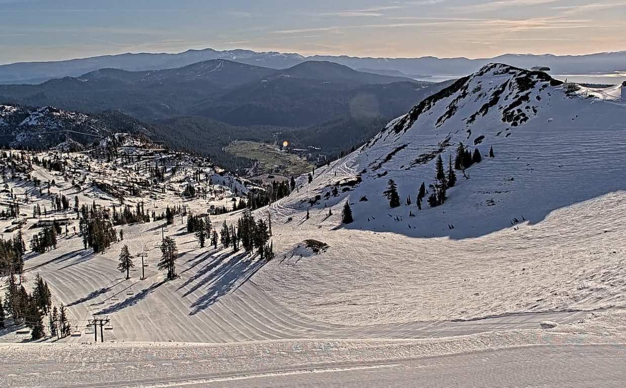
Weekend Weather into Monday:
Weak high pressure is over the region through Monday, bringing us mostly sunny days and seasonal temperatures. Highs into the 40s for the higher elevations, 50s for the lower elevations, and near 60 degrees for the lowest valleys.
Tuesday – Wednesday Storm:
We continue to track the next storm that will be spinning off of the CA coast by Sunday, but will sit there through Monday before finally pushing inland Tuesday into Wednesday.
The latest model runs show precipitation pushing into the northern Sierra sometime on Tuesday morning, with showers continuing into Wednesday afternoon, before clearing Wednesday night into Thursday. Highs drop into the 30s on the mountain to near 40 degrees at the base. Ridgetop winds gusting up to 40-50+ mph on Tuesday, then lighter for Wednesday.
There is cold air at the center of the low-pressure system spinning off the coast. That colder air moves inland on Tuesday. Snow levels could start above 7000 ft. Tuesday morning, but fall to near the base by Tuesday evening. Then back up to around 6000-6500 ft. by Wednesday afternoon as the storm is winding down and moving east.
With a start as rain at the base and then some snow by Tuesday night into Wednesday, we could see storm totals by Wednesday night of around 3-7 inches, with 7-12 inches for the upper mountain. We will continue to watch the trends over the next few days to see if these snowfall numbers hold. It will feel like winter again for a couple of days here in late April.
We have already received close to 6 feet of snow on the upper mountain in April. It would be quite a month if they end up close to 7 feet for the month, especially after zero snow in March.
Long-Range Outlook:
The long-range models continue to show high pressure staying mainly off of the Pacific NW coast starting Thursday through the end of April, and into the start of May, and troughing over the West with lower heights on average over most of CA.
That could allow weak systems or some moisture to move through the region, with mostly sunny days and some clouds, with afternoon showers popping up at times over the mountains from a mix of the daytime heating and available moisture.
This is a typical “April Showers” pattern. We will likely also see seasonal temperatures with a lack of a heat wave. Highs back into the 50s for the lower elevations by the end of this week and 40s for the higher elevations. Then, near 60 degrees near the base at times later in the month.
As of right now, I’m not seeing any more significant storms through the long-range, but I’ll let you know if that changes.
BA
