Palisades Tahoe Logo Palisades Tahoe Logo Palisades Tahoe Logo
Explore
  • Explore Palisades Tahoe
  • Our New Name
  • Explore Legendary Lifts
  • Palisades Tahoe Blog
  • About Lake Tahoe
  • About Us
Plan Your Visit
  • Tickets & Passes
  • Lodging
  • Lessons & Guides
  • Deals & Packages
  • Rentals & Demos
  • Travel Here
  • Getting Around
Mountain Information
  • Snow and Weather
  • Lift and Grooming Status
  • Webcams
  • Hours of Operation
  • Trail Maps
  • Parking & Road Conditions
  • Snowfall Tracker
Events & Activities
  • Events Calendar
  • Activities
  • Dining & Apres
  • Shopping
  • Things To Do In Lake Tahoe
  • Groups, Meetings & Weddings
  • Ski & Snowboard Teams
IKON PASS HOLDER LODGING DISCOUNT

Ikon Pass holders save up to 25% on slopeside lodging at The Village at Palisades Tahoe.

SLOPESIDE LODGING
Icon / FlashCreated with Sketch.
View All Offers
  • Weather

Sunny & Mild Into the Weekend, but Breezy Up Top

  • Apr 1, 2021
  • 8:48 am

Wednesday – Saturday:

We stay in a dry pattern into the weekend. Highs into the 50s on the mountain and near 60 degrees at the base.

Breezy winds up top Thursday – Friday with gusts of 30-40+ mph. Saturday ridgetop winds could be gusting up to 50+ mph from the southwest.

Sunday:

Still sunny but a slight cooldown for Sunday. Highs in the 50s with 40s up top. Ridgetop winds gusting up to 50-60+ mph.

Monday System/Cooldown:

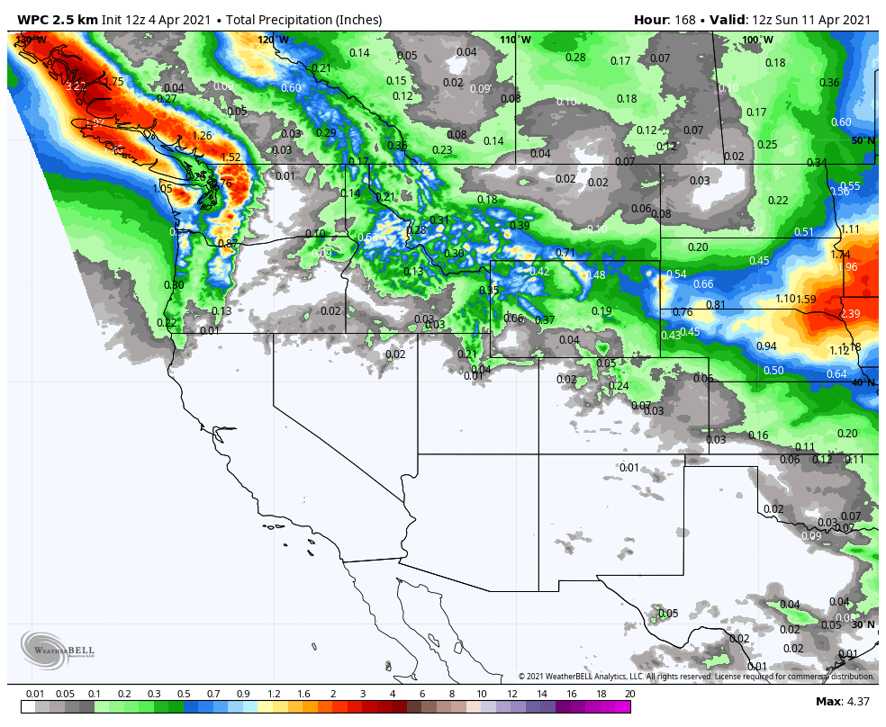
A cold front moves through Monday with highs dropping into the 40s and even 30s up top above 8000 ft. The forecast models are all over the place with whether or not we see precipitation. For now, we are going with a 50/50 chance of snow showers for later Monday morning through Monday evening.

If we see snow showers we could see a dusting up to a couple of inches of snow on the upper mountain. We will continue to fine-tune the forecast as we get closer. Ridgetop winds could continue to gust 40-50+ mph.

Long-Range:

We may see another break Tuesday into Wednesday with mostly sunny skies but staying cooler. Highs in the 40s at the base and 30s up top.

Additional weak systems are possible later next week and through the 2nd week of April. We will continue to watch the trends and fine-tune the details on any storms as we get closer.

BA

lake tahoe weather snowfall forecast Squaw Weather Forecast
Bryan Allegretto
Bryan Allegretto

Share this article:

Recent Posts

  • Weather ·
  • May 26, 2022·

Colder with Unsettled Weather for Memorial Day Weekend

It’s the last weekend of the season and we could see a few flakes fall on the mountain! Thursday –…
Read more
  • Weather ·
  • May 17, 2022·

Quick Cooldown Thu-Fri, Then Milder Weather

A cool trough moves through Thursday – Friday. Highs dip down into the 60s at the base Thursday and 50s…
Read more
  • Weather ·
  • May 11, 2022·

After 15″ of Snow, A Return to Spring

Snowfall Report: We have had a cold and wintry first half of the week with several systems that rotated through…
Read more

Social

Instagram Twitter Facebook Youtube

Contact

   Email Us
   1.800.403.0206

Our Partners

U.S. Forest Service Logo
1960 Squaw Valley Road
Olympic Valley, CA 96146

©2022 Palisades Tahoe

Alterra Mountain Company
  • Privacy Policy
  • Terms of Service
  • Photo Upload Terms of Use
  • Accessibility
Menu
  • Privacy Policy
  • Terms of Service
  • Photo Upload Terms of Use
  • Accessibility