

Dry Week Ahead:
Inversions have returned as high pressure continues to build over the region. We have temperatures in the teens at the base as of 7 AM Sunday morning, with 40s above 8k. When you have inversions and are starting each day in the 40s on the upper mountain, you end up with temperatures warming into the 40s on the lower mountain and staying in the 40s on the upper mountain, usually.
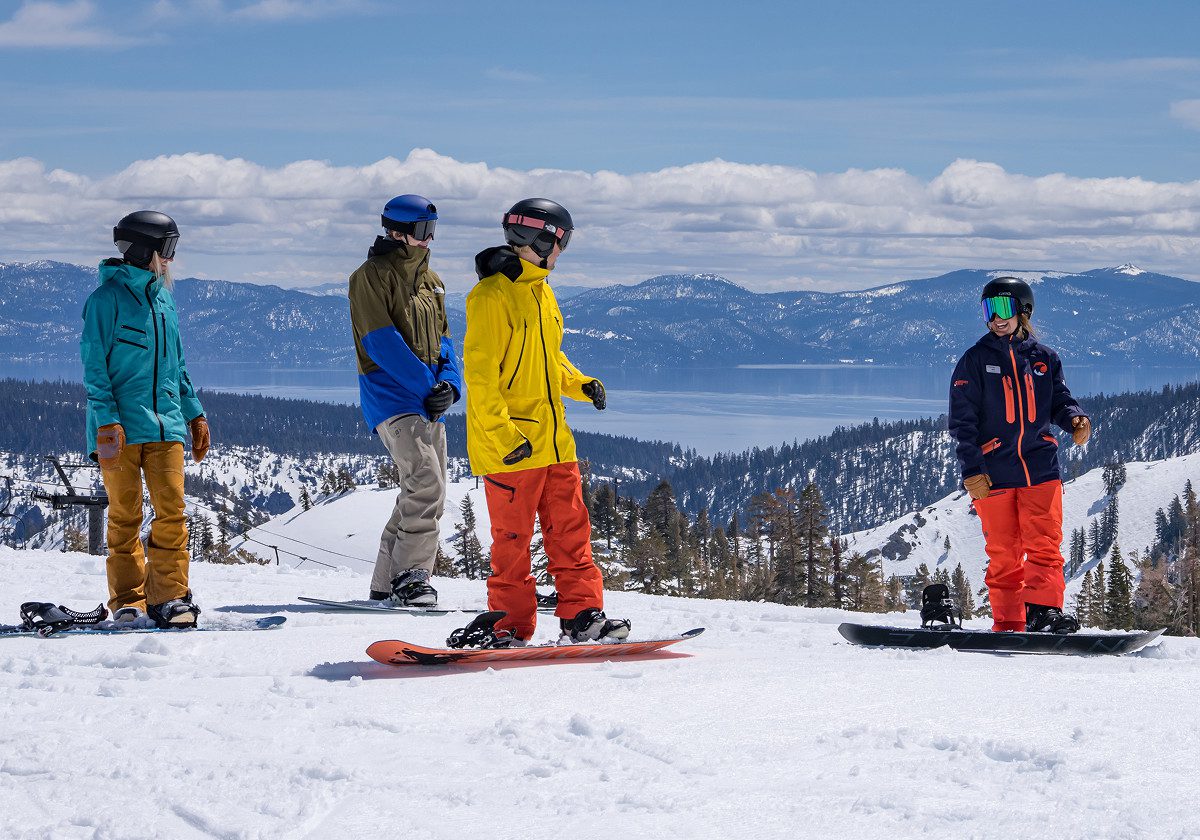
That is what we expect over the next week, sunny days with highs in the 40s to nearly 50 degrees for some lower valleys by midweek. It’s going to be a beautiful week of skiing as the snow gets soft and we have a decent snow base now, after all of the storms.
Long-Range Outlook:
The long-range models are in agreement through about the 21st, keeping us dry as the mean high-pressure ridge center starts to shift NW, but is close enough to block storms. Temperatures are forecast to stay in the 40s for highs through the 19th, and then start to cool a bit as the ridge shifts.
Just beyond day 10, by the 22nd into the last week of January, the long-range models start to diverge. The less reliable GFS models show the ridge shifting NW with time, and a trough digging in over the West Coast, opening the door to some storms.
BUT, the more reliable European models show the trough only starting to dig west towards the West Coast, and then staying north and moving towards Alaska into the last week of January, with high pressure rebuilding over the West, keeping us in a dry pattern into the last week of January.
Unfortunately, the drier models have a better track record in the long-range historically, and they line up with my thoughts that I’ve been sharing over the past week around teleconnections like the MJO that seems to line up with a dry pattern continuing for 2+ weeks.
I continue to hope that I am wrong and that the GFS models are right, so pray/hope for that miracle. I’ll be watching everything closely, looking for signs of a pattern change back to a stormy pattern.
BA
P.S. I’ll be presenting on our new forecasting technology at the Operation Sierra Storm event on Monday morning in South Lake, so my next update will be on Tuesday. Plus, you don’t want me torturing you daily with dry long-range outlooks.
