Wednesday – Monday:
We should see mostly sunny skies during the day through the weekend. We will be under an easterly flow which will keep temperatures cold with highs only in the 30s at the base and 20s up top through Wednesday. Breezy/gusty northeast winds up to 40-50+ mph up top at times.
By Thursday, high pressure is forecast to build in a bit more over the West Coast. That may allow high temperatures to warm a bit more into the 40s at the base and 30s up top. Then on Friday, a cold front will drop highs back into the 30s into Saturday along with some gusty northeast winds again for Friday. By Sunday into Monday, we should start to warm back into the 40s again for highs at the base.
Tuesday:
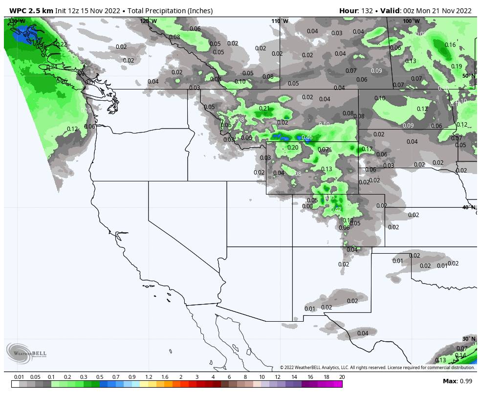
The latest forecast model runs suggest a chance for a weak system to bring a few showers Tuesday. If we do see any they should be pretty light. We will update possible amounts and snow levels if it looks like we could see any precipitation.
Long-Range:
Next Wednesday through the end of Thanksgiving week may continue to be dry with the storm track to our north into the Pacific NW.
Some long-range models suggest the pattern could shift starting around the weekend of the 26th-27th. We will continue to watch the trends and keep you posted…
I may shift to posting every other day or so until storms are back in the forecast.
BA


