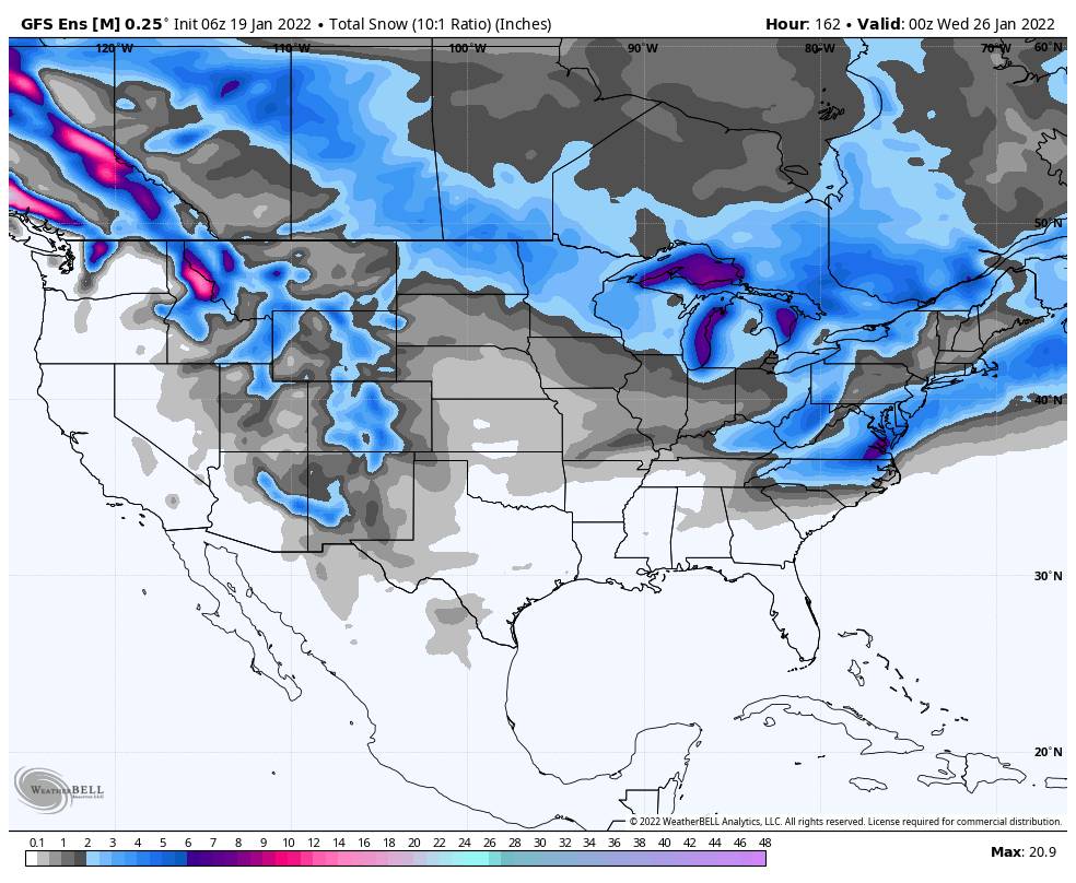
Tuesday – Tuesday:
The mostly sunny skies are expected to continue for the next week+. Through Thursday we have lighter winds and highs into the 40s, 30s up top. Friday a dry cold front moves through cooling us back into the 30s for highs on the mountain into Saturday.
The mostly sunny skies should continue but we will have gusty northeast winds Friday into Saturday making it feel even colder. Ridgetop gusts up to 80+ mph for Friday. That could close some upper mountain lifts. Then the winds should come down over the weekend but gusting from the northeast up to 50+ mph Satuday and 30+ mph Sunday up top.
Sunday into Tuesday the temperatures rebound with highs back into the 40s on the lower mountain and at the base.
Long-Range:
The dry pattern should continue through at least the 28th. The pattern is still forecast to shift around the 28th into the first week of February, with the high-pressure ridge shifting farther away from the West Coast. That could start to allow weak systems into the northern Sierra the last few days of the month and hopefully some wetter systems the first week of February.
We will continue to watch the weather pattern trends as we get closer. Hopefully, storms will be returning as we go into February. We will keep you updated and let you know as soon as we see fresh snow returning.
BA


