Palisades Tahoe Logo Palisades Tahoe Logo Palisades Tahoe Logo
Explore
  • Explore Palisades Tahoe
  • Our New Name
  • Explore Legendary Lifts
  • Palisades Tahoe Blog
  • About Lake Tahoe
  • About Us
Plan Your Visit
  • Tickets & Passes
  • Lodging
  • Lessons & Guides
  • Deals & Packages
  • Rentals & Demos
  • Travel Here
  • Getting Around
Mountain Information
  • Snow and Weather
  • Lift and Grooming Status
  • Webcams
  • Hours of Operation
  • Trail Maps
  • Parking & Road Conditions
  • Snowfall Tracker
Events & Activities
  • Events Calendar
  • Activities
  • Dining & Apres
  • Shopping
  • Things To Do In Lake Tahoe
  • Groups, Meetings & Weddings
  • Ski & Snowboard Teams
IKON PASS HOLDER LODGING DISCOUNT

Ikon Pass holders save up to 25% on slopeside lodging at The Village at Palisades Tahoe.

SLOPESIDE LODGING
Icon / FlashCreated with Sketch.
View All Offers
  • Weather

Sunny & Breezy

  • Feb 23, 2021
  • 8:18 am

Tuesday – Friday:

The dry weather pattern continues through Friday with mostly sunny skies expected. Highs in the 40s Tuesday and dropping into the 30s Wednesday behind a dry cold front. Ridgetop winds gusting up to 60+ mph at times from the north/northeast through Wednesday.

Warming back into the 40s Thursday into Friday. Breezy with west winds of 30-40+ mph over the ridges.

The Weekend:

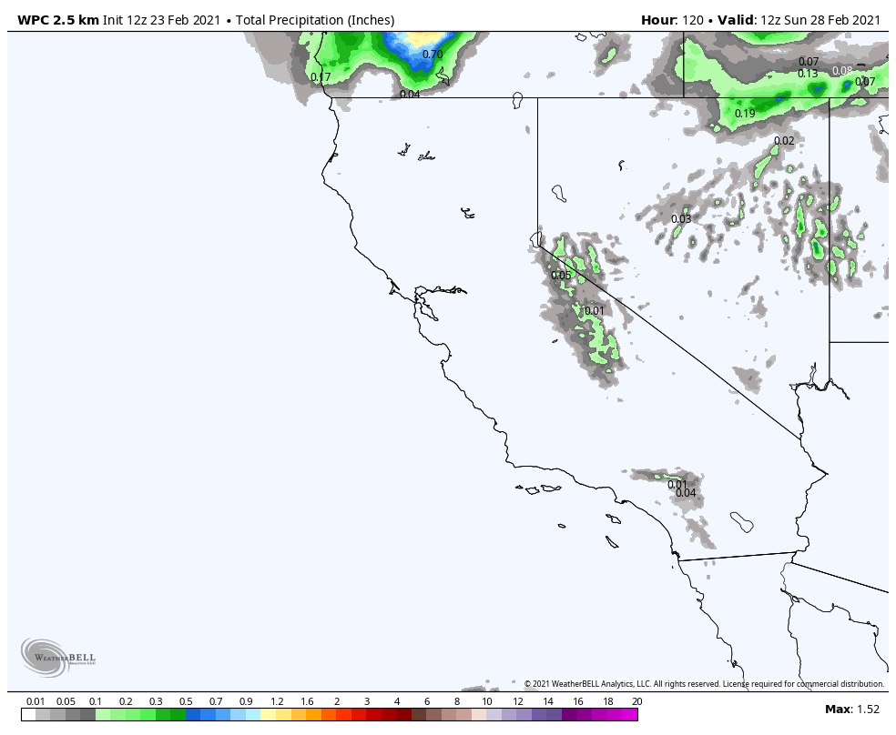
Saturday we have another cold front moving through. Highs dropping into the 30s at the base and 20s up top. This system could bring sun & clouds with the chance for a few scattered snow showers Saturday, but not expecting more than a dusting of snow.

We should see mostly sunny skies again for Sunday with highs warming back into the 40s at the base and 30s on the upper mountain.

Long-Range:

We may transition to a more active pattern the first week of March. We are tracking 2 systems for next week that could bring some snow to the northern Sierra. We are going into cut-off low season where the storm can wobble down off the West Coast and take a while to move inland. The track and timing of each system becomes harder to forecast.

We will continue to watch both systems next week and will let you know when we get a clearer picture on the timing & track of each system, and how much snow if any each system could bring.

BA

lake tahoe weather snowfall forecast Squaw Weather Forecast
Bryan Allegretto
Bryan Allegretto

Share this article:

Recent Posts

  • Weather ·
  • May 26, 2022·

Colder with Unsettled Weather for Memorial Day Weekend

It’s the last weekend of the season and we could see a few flakes fall on the mountain! Thursday –…
Read more
  • Weather ·
  • May 17, 2022·

Quick Cooldown Thu-Fri, Then Milder Weather

A cool trough moves through Thursday – Friday. Highs dip down into the 60s at the base Thursday and 50s…
Read more
  • Weather ·
  • May 11, 2022·

After 15″ of Snow, A Return to Spring

Snowfall Report: We have had a cold and wintry first half of the week with several systems that rotated through…
Read more

Social

Instagram Twitter Facebook Youtube

Contact

   Email Us
   1.800.403.0206

Our Partners

U.S. Forest Service Logo
1960 Squaw Valley Road
Olympic Valley, CA 96146

©2022 Palisades Tahoe

Alterra Mountain Company
  • Privacy Policy
  • Terms of Service
  • Photo Upload Terms of Use
  • Accessibility
Menu
  • Privacy Policy
  • Terms of Service
  • Photo Upload Terms of Use
  • Accessibility