Skip to content
palisades tahoe
Explore
Main Menu
  • Explore Palisades Tahoe
  • Discover Palisades Tahoe
  • Our Name Change
  • Explore Legendary Lifts
  • Palisades Tahoe Blog
  • About Lake Tahoe
  • Mountain Safety
Plan Your Visit
Main Menu
  • Lodging
  • Tickets & Passes
  • Lessons & Guides
  • Deals & Packages
  • Rentals & Demos
  • Travel Here
  • Ikon Pass Benefits
Mountain Information
Main Menu
  • Weather
  • Lift Status
  • Webcams
  • Hours of Operation
  • Trail Maps
  • Parking & Road Conditions
  • Snowfall Tracker
Events & Activities
Main Menu
  • Aerial Tram
  • Events Calendar
  • Activities
  • Dining & Apres
  • Shopping
  • Groups, Meetings & Weddings
  • Ski & Snowboard Teams
Summer High Camp Tram with wildflowers.
Basecamp for Lake Tahoe
Palisades Tahoe is the beating heart of Lake Tahoe adventure. Plan your trip with us today.
PLAN YOUR VISIT
Icon / FlashCreated with Sketch.
View All Offers

Sunny & Breezy Wednesday, Wet & Windy Friday

  • By Bryan Allegretto
  • Weather
  • Feb 17, 2021

Wednesday – Thursday Forecast:

Mostly sunny skies for Wednesday. Highs in the 30s. Ridgetop winds gusting from the north-northeast 40-50+ mph.

Thursday we should see sunny skies in the morning with some clouds in the afternoon as the next system approaches. Highs warming into the 40s at the base. Ridgetop winds turning southwest with gusts of 30-40+ mph.

Thursday Night – Saturday System:

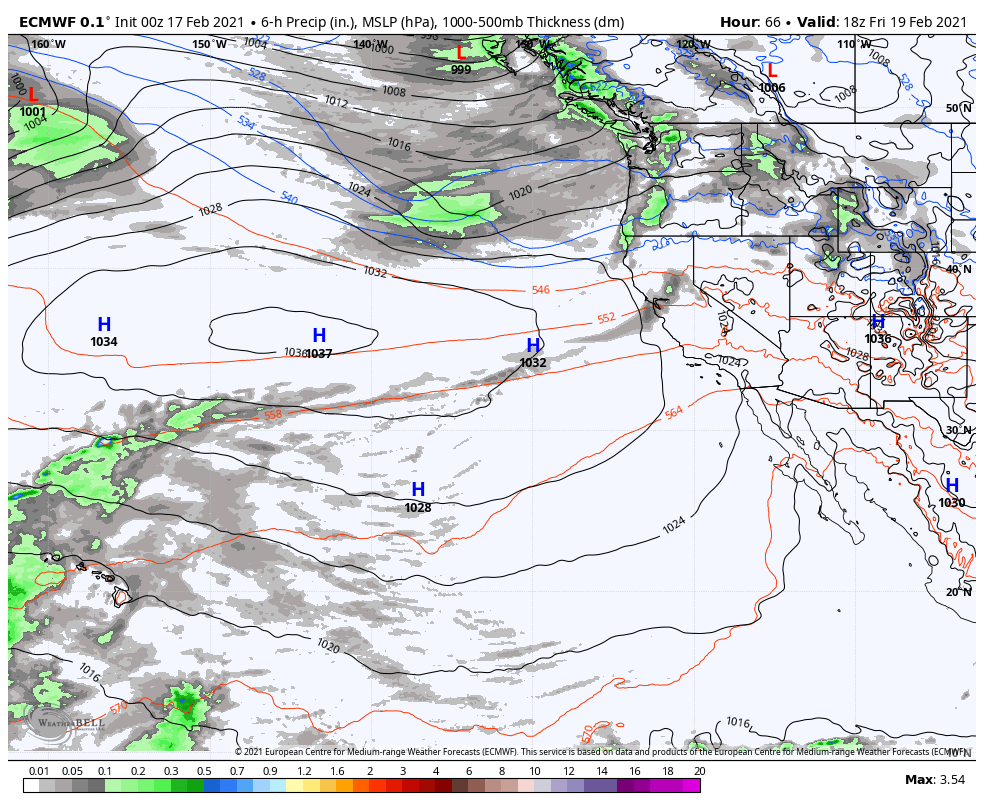
A weak and falling apart system is expected to move in Thursday evening. This is a two-part system that could start warmer with snow levels rising to around 6500-7000 ft. Thursday night and as high as 7500 ft. Friday. Then a colder part Friday night into Saturday morning with snow levels dropping below the base. Ridgetop winds could be gusting to 60+ mph Friday, possibly affecting some upper mountain lifts, then coming down some for Saturday.

We could see scattered light snow showers on the upper mountain Thursday night into Saturday morning before the system clears out Saturday afternoon. At the base we could see scattered rain showers later Thursday night into Friday, turning to snow showers Friday night. We could see 0-2 inches of snow at the base after a change from rain to snow Friday night, and 1-4 inches on the upper mountain through Saturday morning. Highs in the 30s both days. 

Sunday:

For Sunday, we will have mostly sunny skies and light winds, with highs warming into the 40s for the lower elevations. It should be a beautiful day.

Long-Range:

High-pressure continues to build near the CA coast into early next week. We will continue the dry pattern with highs warming into the 40s & 50s.

The pattern may shift by the middle of next week into the first few days of March with a more active storm track possibly returning. Right now any system looks weak as they drop down from the north and not moving in from the west-northwest picking up moisture off of the Pacific.

BA

Share this article
Picture of Bryan Allegretto
Bryan Allegretto

Recent Posts

  • Weather ·
  • December 12, 2025·

Unsettled Pattern Next Week

Another morning of subfreezing temperatures at the base, with the snowmaking crew able to make snow around the base areas.…
Read more
  • Weather ·
  • December 11, 2025·

Confidence Increasing in a Stormier Pattern

Myself and everyone here on the OpenSnow forecaster team are trying to hold back any excitement around the pattern change…
Read more
  • Weather ·
  • December 10, 2025·

Precipitation Possible Next Week

Mild thru the Weekend: It’s Thursday morning, and once again we have temperatures below freezing near the base, and 40s…
Read more

Social

Instagram Twitter Facebook Youtube

Contact

   Email Us
   1.800.403.0206

Our Partners

U.S. Forest Service Logo
1960 Olympic Valley Road
Olympic Valley, CA 96146

©2025 Palisades Tahoe

Alterra Mountain Company
  • Privacy Policy
  • Terms of Service
  • Photo Upload Terms of Use
  • Accessibility
  • Do Not Sell My Personal Information
  • Privacy Policy
  • Terms of Service
  • Photo Upload Terms of Use
  • Accessibility
  • Do Not Sell My Personal Information