The Weekend:
For the weekend high pressure is sitting over the West Coast. That will bring sunny skies with highs into the 40s. Northeast winds gusting up to 40+ mph up top Saturday, then lighter for Sunday.
The 2nd Week of February:
Monday into the 2nd week of February and through next Sunday the 13th, more of the same weather is expected. Mostly sunny skies and highs into the 40s on the mountain. Maybe breaking into the 50s several days near the base.
Tuesday a cool front to our east could cool us a few degrees but still mild. The winds look light most of the week with the best chance for some gusty northeast winds up top being Tuesday. Overall a dry & mild 9-day period.
The 2nd Half of February:
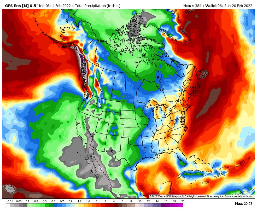
There are some signs that high pressure could start to shift away from the West Coast starting around mid-month (14th-15th). That may allow in some colder air and weak systems during 3rd week of February. One of those weak systems could track near the coast and bring enough moisture for measurable snowfall. We’ll continue to watch the trends and hope we see at least some light snow beyond the 14th.
Going into the last week of the month (beyond the 21st) there are some better signs that the pattern could open up to storms that could bring some measurable snowfall. We will continue to watch this trend as well. We are still at least 10 days from any storms so confidence is still low until storms show up in the one-week window.
We’ll keep tracking and let you know when confidence is building in a return of storms and new snow!
BA


