Snowfall Report:
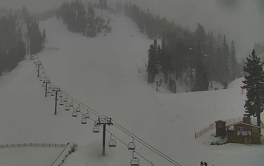
The weak system that moved through Monday night into Tuesday morning brought exactly what we were expecting, 1-2″ of fresh snow. Snow showers Tuesday morning could add a final coating to an inch.
Tuesday:
Snow showers for Tuesday morning and then we should clear out through the afternoon. It will be cold with highs only in the 30s at the base and 20s up top. Gusty northeast winds of 50-60+ mph up top will make it feel even colder and could affect some upper mountain lifts.
Wednesday – Saturday:
High pressure is forecast to build back over the region again by Wednesday bringing back a drier pattern through Saturday. Highs in the 40s at the base and 30s up top by Wednesday and then warming some through the end of next week.
Wednesday could still have gusty north winds up top gusting up to 60+ mph, then lighter winds starting Thursday.
Sunday – Monday System:
We are tracking another weak system associated with another cold front that could move through the region later Sunday into Monday. That could bring a return of gusty winds Sunday and colder air by Monday. We could see similar snowfall amounts as the current system, but we’ll watch the trends as we get closer.
Long-Range:
Weak systems every few days or so could continue through the end of the month. No BIG storms on the horizon still. Hopefully, the pattern opens up to bigger storms as we go into March. We’ll continue to watch the trends. Stay tuned for updates as we get closer.
BA


