Snowfall Report:
The rain and snow Tuesday morning brought rain to the base and snow to the upper mountain as expected. The forecast was for a coating up to 5 inches on the upper mountain from the snow line to the top. At 8k ski patrol is reporting a total of 2 inches from the storm Tuesday morning.
Wednesday – Friday:
Wednesday through Friday looks to be drier and milder as high pressure builds back in over the region. Expecting mostly sunny skies Wednesday with highs into the 40s on the mountain and near 50 degrees at the base. The winds should be light as well.
We could see some clouds Thursday as a falling apart system moves through. We could also see a stray shower during the afternoon. Highs into the 40s. Ridgetop winds gusting up to 30+ mph from the southwest.
Friday should be the nicest day with mostly sunny skies, light winds, and highs into the 50s at the base.
Saturday Storm:
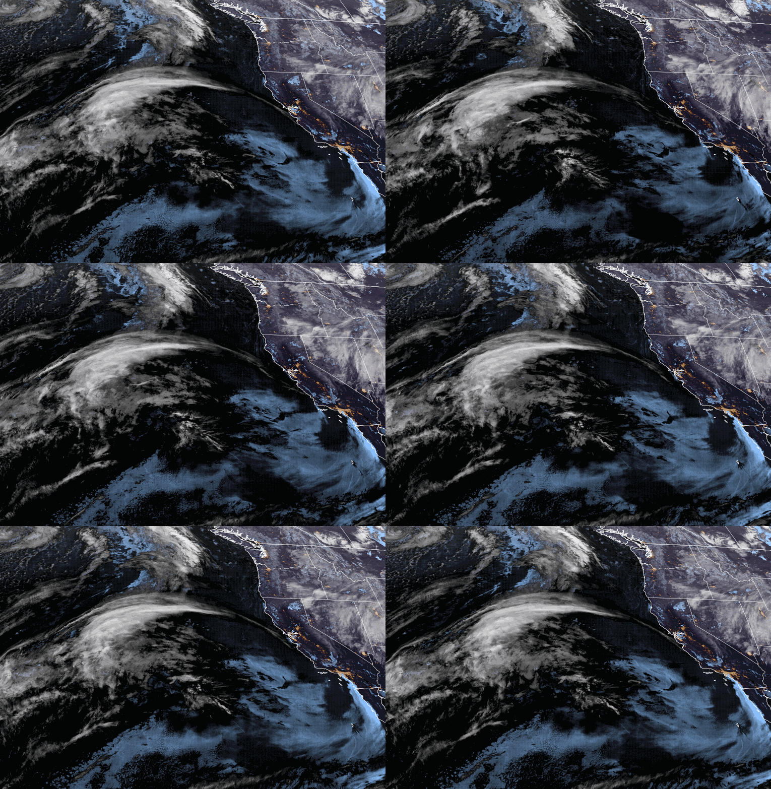
The next storm moves in Saturday morning with rain & snow showers, possibly continuing into Saturday night before clearing by Sunday morning. Highs drop into the 30s on the mountain to near 40 degrees at the base Saturday. Gusty winds up to 60-70+ mph from the southwest up top in the morning dropping to 50+ during the afternoon could affect some upper mountain lift operations.
Snow levels could start around 7000-7500 ft. Saturday morning and fall to around 6000-6500 ft. during the afternoon, and then below 5000 ft. Saturday night. That means we could see some rain at the base before the change to snow later Saturday. Overall a weak system. We could see 1-3 inches at the base and 2-5 inches of snow on the mountain by Sunday morning. We’ll continue to fine-tune the forecast as we get closer.
Sunday:
The sun should return during the day on Sunday but chilly with highs in the 30s on the upper mountain and 40s at the base. The winds turn north and could crank back up with gusts up to 70+ mph up top. That could affect some upper mountain lift operations again on Sunday.
Long-Range:
High pressure builds in through the first half of next week. We should see mostly sunny days and mild. Highs into the 40s up top and 50s at the base Monday – Tuesday, and maybe into the 50s & 60s by Wednesday.
The ridge may break down by the end of the week with temperatures cooling a few degrees. The latest long-range model runs suggest we stay dry into the weekend of the 26th. Troughing could develop over the West Coast by the end of the weekend into the week of the 28th. That could open the door to a system or two moving into CA before the end of the month.
BA


