

Monday – Friday Snow Shower Chances:
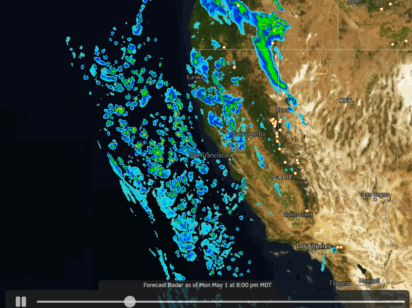
A low-pressure system will be making its way south down the coast on Monday and then will spend a few days around the Central CA coast this week sending moisture and energy into the Northern Sierra.
There won’t be strong winds to help with orographic lift over the mountains which helps to squeeze out precipitation, but we will have variable winds and more importantly a strong May sun angle with daytime heating that will help with lifting the air along with the mountain terrain lift. That will help to enhance shower chances and intensity each afternoon.
Highs into the 40s at the base through the week but colder under any bands of rain/snow, and 30s for highs on the mountains. The most cloud cover could be Tuesday with partly sunny skies Monday and again Wednesday through Friday over the lake. The clouds and shower chances increase each afternoon-evening through Friday.
Snow Levels:
The snow levels will be fluctuating through the week as the low wobbles around to our west. Overall colder air and lower snow levels under any bands of showers and heavier precipitation, and at night.
We could see snow levels start around 7000-8000 ft. Monday afternoon-evening as showers begin to pop up around the region. Then falling below the base Monday night into early Tuesday morning. Then fluctuating between 6000-7000 ft. into early Wednesday morning.
Wednesday afternoon through Thursday morning snow levels could rise and fluctuate between 7000-8000 ft. Then possibly dipping close to the base with any heavier showers into Thursday evening. They could rise up between 7000-8000 ft. again Friday and could possibly dip a bit below 7000 ft. with any heavier showers that pop up Friday afternoon-evening.
Total Snowfall:
We could see a dusting up to an inch or two of snow by early Tuesday morning. Then a few up to several inches of snow is possible on the mountain later Tuesday through Tuesday night. Thursday a coating up to a few inches are possible again. Wednesday & Friday only a dusting to an inch looks likely at best.
For the base up to 7000 ft., we could see some times of rain showers through Tuesday, and then up to as high as 8000 ft. possibly at times Wednesday through Friday. The snow will be melting each day between periods of showers, especially for the lower elevations. It will be hard to see any snow accumulate during the daylight hours for the lower elevations, except on top of snow already on the ground.
Long-Range:
The trough is forecast to hang around the West Coast through the first week of May. That could keep the cooler air around through the weekend. It could also allow the next upstream system moving into the Pacific NW to bring enough moisture into the region for a few scattered showers to pop up again Saturday and Sunday afternoon-evening.
The trough begins to lift out of the region the week of the 8th with less of a chance for any showers. We may begin a drier and milder trend through the week.
The long-range models have been consistent in showing high-pressure building over the West beyond the 10th through mid-month, and possibly through the 3rd week of May. That would bring full-on spring back to the region with a warmer and drier pattern.
BA
