

Tuesday Weather:
It’s the calm before the storm on Tuesday. We will have sunny skies with highs in the 40s to near 50 degrees at the base.
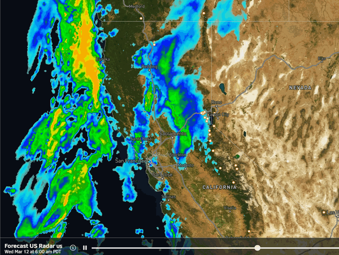
Wednesday – Thursday Storm:
This storm starts slow for snowfall during the day on Wednesday with the southerly flow ahead of the front. Rain & snow showers push in between 2-4 AM. Highs in the 30s. Snow levels rising to around 6500-7000 ft. during the day with some rain showers for the lower elevations. Ridgetop winds increase from the SSW with gusts up to 80-100+ mph over the ridges.
The heavier precipitation inches closer by the end of the day with the heavy precipitation pushing through Wednesday night as the cold front moves through the Sierra. Snow levels fall pretty fast as the heavier precipitation pushes in. They could be near the base by late afternoon and drop to 2000-2500 ft. by early Thursday morning.
Snow showers behind the front with a moist westerly flow over the mountains along with lighter winds. Highs in the 30s for the lower elevations and 20s for the higher elevations with snow levels around 3000-4000 ft. The snow should be fairly powdery by Thursday morning.
Most of the snow falls Wednesday night with 1-6 inches of wetter snow possible during the day on Wednesday above 7k’ and 3-6 inches of drier snow Thursday, with 1-2 feet Wednesday night. Snowfall totals by early Friday morning could be around 18-24 inches at the base, 23-29 inches near mid-mountain, and 26-33 inches up top.
Friday Storm:
The next storm is much smaller and weaker for Friday but it does come with some gusty winds. It stays cold with highs in the 30s for the lower elevations and 20s for the higher elevations. Ridgetop winds gusting up to 60-80+ mph from the west.
Snow showers increase during the day and continue into Friday night. The latest model runs show fairly even amounts during the day on Friday and Friday night. The snow levels stay well below the base. That keeps the snow ratios high in the 15-20:1 range on the mountains. That will bring us a few-several more inches of fluffy powder.
Additional snowfall totals by Saturday morning could be around 2-6 inches at the base, 3-7 inches near mid-mountain, and 4-8 inches up top. This will refresh the slopes and should lead to great conditions for the weekend.
Weekend Forecast Change:
There’s a very good reason why I’ve learned to not make detailed snowfall forecasts beyond 5 days from my 20 years of experience forecasting for the northern Sierra. The latest model runs now show high pressure amplifying a bit more into CA on Saturday and now into Sunday.
That should clear out the Friday storm pretty quickly Saturday morning with partly sunny skies into the afternoon, along with lighter winds. It could be a beautiful day.
Sunday could start with sunny skies becoming partly sunny as clouds move in ahead of the next storm, with the winds increasing into the afternoon, gusting up to 60-80+ mph from the SW over the ridges by evening. Highs in the 30s both days to near 40 degrees at the base.
Monday Storm:
The latest model runs have now slowed the arrival of the next storm until between Sunday night and Monday morning as it now runs into the back of the stronger ridge from the weekend. That is also weakening the storm on the latest model runs, and the weaker system behind it may merge in as it’s moving into the Sierra.
The trend is also towards the storm clearing out Tuesday morning with partly sunny skies by afternoon. Highs in the 30s for Monday at lake level and 20s for the higher elevations, as some colder air moves in with the storm. The winds could start strong Monday morning and diminish into the evening.
This change for the weekend and the next storm just started on the forecast models Monday afternoon, so it’s new and we need to continue to watch the trends. It’s still too early for snowfall details for Monday, I’ll start those on Thursday, but right now we look to be closer to 6-18 inches of snow on the mountain at best.
More Storms?
On the flip side of a drier forecast for Saturday – Tuesday, the long-range models are trending towards a wetter forecast for next Thursday into the weekend of the 22nd – 23rd. They now show another deeper trough digging into the West Coast between the 20th – 22nd after a break next Tuesday – Wednesday.
The latest operational model runs show two storms digging into northern CA during this period. We’ll continue to watch the trends to see if we could see more snow later next week to offset the drier forecast earlier in the week.
Long-Range Forecast:
The longer-range models continue to show high-pressure building in over the West Coast as we go into the last week of March. This was supposed to start around the 20th but is now pushed off until the week of the 24th. That would bring us a drier and milder pattern later in the month.
The long-range ensemble mean models still hint at more troughing possible right around the end of the month into the first few days of April, so we’ll keep an eye out for any late-season storms.
BA
