Skip to content
Palisades Tahoe Logo Palisades Tahoe Logo Palisades Tahoe Logo
Explore
Main Menu
  • Explore Palisades Tahoe
  • Base to Base Gondola
  • Our New Name
  • Explore Legendary Lifts
  • Palisades Tahoe Blog
  • About Lake Tahoe
  • About Us
Plan Your Visit
Main Menu
  • Tickets & Passes
  • Lodging
  • Lessons & Guides
  • Deals & Packages
  • Rentals & Demos
  • Travel Here
  • Getting Around
Mountain Information
Main Menu
  • Snow and Weather
  • Lift and Grooming Status
  • Webcams
  • Hours of Operation
  • Trail Maps
  • Parking & Road Conditions
  • Snowfall Tracker
Events & Activities
Main Menu
  • Events Calendar
  • Activities
  • Dining & Apres
  • Shopping
  • Things To Do In Lake Tahoe
  • Groups, Meetings & Weddings
  • Ski & Snowboard Teams
IKON PASS HOLDER LODGING DISCOUNT

Ikon Pass holders save up to 20% on slopeside lodging at The Village at Palisades Tahoe.

SLOPESIDE LODGING
Icon / FlashCreated with Sketch.
View All Offers
  • Weather

Snow Showers Sun-Mon, Then a Drier Pattern

  • Apr 2, 2023
  • 2:04 am

Sunday – Monday System:

Mostly cloudy Sunday with some scattered snow showers. The winds will be gusting up to 60-70+ mph from the WSW in the morning and 80-90+ mph by the end of the day. That will continue to affect some upper mountain lift operations. Highs in the 30s. Snow levels hovering near to just above the base for any passing showers. We could see a dusting to an inch of snow on the mountain through the afternoon.

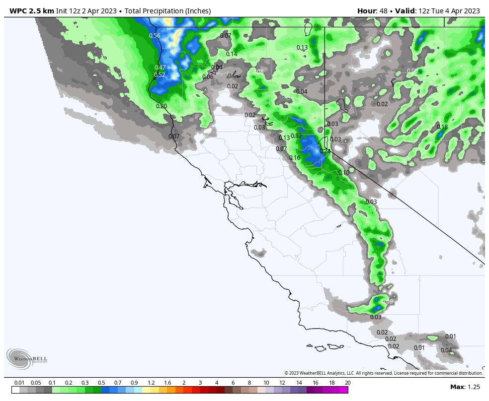
Steadier snow moves through Sunday evening with the cold front, and then snow showers behind the front overnight. 3-6 inches of new snow could fall overnight.

We could see a lull in the snow showers Monday morning and then possibly increasing again Monday afternoon-evening before clearing out Monday night. It will be colder with highs only in the 20s on Monday. Breezy winds from the north-northwest gusting up 30-40+ mph up top. A final dusting up to an inch or two of snow is possible Monday.

Snow levels drop Sunday night into Monday with the steadier snow showers. That will bring some drier and powdery snow to the mountain and will help to fluff the snowfall from the low precipitation amounts. Here is the updated total snowfall forecast for Sunday – Monday.

  • 3-7 inches at the base.
  • 4-8 inches at mid-mountain elevations.
  • 5-9 inches up top.

Tuesday – Thursday:

We start to go into a drier pattern Tuesday and Wednesday with mostly sunny skies expected. But it’s still cold with highs in the 30s. Thursday and Friday high pressure is building in over the West Coast with mostly sunny skies and highs warming into the 40s, and maybe near 50 degrees at the base on Friday.

Long-Range:

High pressure continues to build over the West through Easter weekend and into the week of the 10th. That will continue the dry pattern and warming trend over the West. Highs into the 50s over the weekend and into the 60s by the 10th-11th! The long-range models show the dry pattern and below-average precipitation continuing through at least the 13th.

Temperatures will likely cool down a little beyond the 11th as the ridge is forecast to start weakening and shifting east. By the 15th the long-range models continue to show lower heights over the West Coast with troughing near the coast. That would bring back some cooler temperatures and would open the door to storms moving into the West Coast.

By then we are going into the 2nd half of April when the chances for stronger storms continue to decline. The precipitation averages fall pretty quickly into May. That doesn’t mean that we won’t see a stronger storm move through with some measurable snow. We’ll keep an eye on the storms to see if any could spin up into CA with some measurable late-season snow for the mountain.

BA

lake tahoe weather palisades tahoe weather forecast snowfall forecast
Bryan Allegretto
Bryan Allegretto

Share this article:

Recent Posts

  • Weather ·
  • May 8, 2023·

Final Forecast of the 2022-23 Season

First Week of May Snowfall Report: The first week of May was a cold and snowy one. The upper mountain…
Read more
  • Weather ·
  • May 1, 2023·

Snowy First Week of May

Monday – Friday Snow Shower Chances: A low-pressure system will be making its way south down the coast on Monday…
Read more
  • Weather ·
  • April 29, 2023·

Cooler with Rain & Snow Showers Possible Starting Monday

Saturday – Sunday Weather: It’s another mostly sunny day with some high clouds on Saturday. Highs into the 60s to…
Read more

Social

Instagram Twitter Facebook Youtube

Contact

   Email Us
   1.800.403.0206

Our Partners

U.S. Forest Service Logo
1960 Olympic Valley Road
Olympic Valley, CA 96146

©2022 Palisades Tahoe

Alterra Mountain Company
  • Privacy Policy
  • Terms of Service
  • Photo Upload Terms of Use
  • Accessibility
  • Do Not Sell My Personal Information
  • Privacy Policy
  • Terms of Service
  • Photo Upload Terms of Use
  • Accessibility
  • Do Not Sell My Personal Information