Skip to content
Palisades Tahoe Logo Palisades Tahoe Logo Palisades Tahoe Logo
Explore
Main Menu
  • Explore Palisades Tahoe
  • Base to Base Gondola
  • Our New Name
  • Explore Legendary Lifts
  • Palisades Tahoe Blog
  • About Lake Tahoe
Plan Your Visit
Main Menu
  • Tickets & Passes
  • Lodging
  • Lessons & Guides
  • Deals & Packages
  • Rentals & Demos
  • Travel Here
  • Getting Around
Mountain Information
Main Menu
  • Snow and Weather
  • Lift and Grooming Status
  • Webcams
  • Hours of Operation
  • Trail Maps
  • Parking & Road Conditions
  • Snowfall Tracker
Events & Activities
Main Menu
  • Events Calendar
  • Aerial Tram
  • Activities
  • Dining & Apres
  • Shopping
  • Groups, Meetings & Weddings
  • Ski & Snowboard Teams
Winter Lodging Exteriors of the Village at Palisades Tahoe
Book Winter Early

Ikon Pass holders save up to 25% when you book with The Village at Palisades Tahoe this winter.

SAVE ON LODGING
Icon / FlashCreated with Sketch.
View All Offers
  • Weather

Snow Moves in by Friday Evening, & Again Sunday Night

  • Dec 23, 2020
  • 8:33 am

Wednesday-Thursday:

Wednesday we will have mostly sunny skies with highs in the 30s, then warming a bit with 40s at the base for Thursday with sun and the chance for some high clouds. Breezy up top for Wednesday with ridgetop winds from the east up to 70+ mph in the morning and 30+ mph for the afternoon, possibly causing some upper mountain lift delays. Then lighter winds expected Thursday.

Christmas Night Storm:

The next storm may push into northern California as early as Friday afternoon with light snow showers. Then a cold front with periods of heavier snow Friday night, and snow showers lingering into Saturday morning before ending by afternoon. Increasing clouds and gusty winds through the day on Friday, with gusts up to 80+ mph up top by Friday afternoon likely affecting some upper mountain lifts.

Snow levels may initially start just above the base around 6500 ft, but falling during the evening below the base. Snow showers linger behind the cold front into Saturday morning before clearing by afternoon. Strong winds drop off through the day on Saturday.

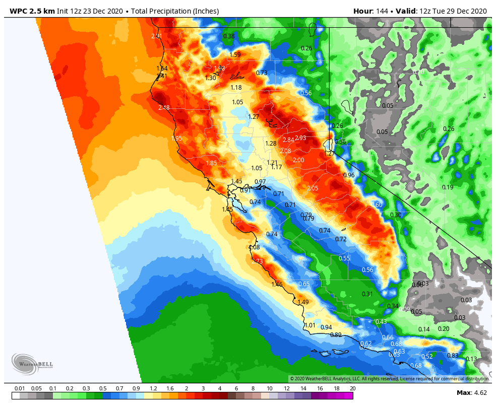
The forecast hasn’t changed much this morning. We could see 5-9 inches of snow at the base, 9-13 inches at mid-mountain, and 11-15 inches up top by Saturday afternoon. 

Sunday Night Storm:

We should see a break from Saturday afternoon through most of Sunday with colder temperatures and highs in the 20s on the mountain. The next system moves in Sunday evening/night into Monday morning bringing more snow to the mountain. This system is a closed low moving in to our south over central/southern CA and may split apart as it moves through CA. Those are not the best dynamics for heavy snow over the Tahoe Basin.

This storm is colder with all snow to the base and higher snow ratios with a more powdery snow. We could an additional 1-3 inches at the base, 2-4 inches at mid-mountain, and 3-5 inches up top by Monday afternoon. We should begin to clear out later Monday.

Long-Range:

We may see a break next Tuesday – Wednesday. The next storm is possible on New Year’s Eve, but the long-range models are still in disagreement on whether this storm tracks into northern CA or stays to our north. Stay tuned because if it tracks farther south we could see more snow for New Year’s Eve.

BA

lake tahoe weather snowfall forecast Squaw Weather Forecast
Bryan Allegretto
Bryan Allegretto

Share this article:

Recent Posts

  • Weather ·
  • September 19, 2023·
The predicted El Nino pattern for this winter

2023-24 Palisades Tahoe Winter Forecast Preview…

As we look ahead to the 2023-2024 winter season, it's important to remember that any winter outlook will contain an inherent degree of uncertainty. However, there are a few clues that we can keep an eye on.
Read more
  • Weather ·
  • May 8, 2023·

Final Forecast of the 2022-23 Season

First Week of May Snowfall Report: The first week of May was a cold and snowy one. The upper mountain…
Read more
  • Weather ·
  • May 1, 2023·

Snowy First Week of May

Monday – Friday Snow Shower Chances: A low-pressure system will be making its way south down the coast on Monday…
Read more

Social

Instagram Twitter Facebook Youtube

Contact

   Email Us
   1.800.403.0206

Our Partners

U.S. Forest Service Logo
1960 Olympic Valley Road
Olympic Valley, CA 96146

©2022 Palisades Tahoe

Alterra Mountain Company
  • Privacy Policy
  • Terms of Service
  • Photo Upload Terms of Use
  • Accessibility
  • Do Not Sell My Personal Information
  • Privacy Policy
  • Terms of Service
  • Photo Upload Terms of Use
  • Accessibility
  • Do Not Sell My Personal Information