Monday:
Mostly sunny skies for Monday. West winds increasing through the afternoon gusting to 50+ mph up top by the end of the day. Highs in the 40s.
Tuesday-Thursday:
A cold trough will move through Tuesday. That will bring colder air for Tuesday-Wednesday with highs dropping into the 30s, and even 20s up top for Wednesday. Gusty winds expected for both days with ridgetop winds continuing to gust from the west up to 40+ mph Tuesday and turning from the east up to 30+ mph for Wednesday.
There is the chance for a snow shower Tuesday morning, but not expecting more than a dusting of snow on the mountain then clearing for Tuesday afternoon with sunny skies into Wednesday.
Thursday we should see mostly sunny skies, light winds, and highs warming into the 40s at the base and 30s for the upper mountain.
Christmas Storm:
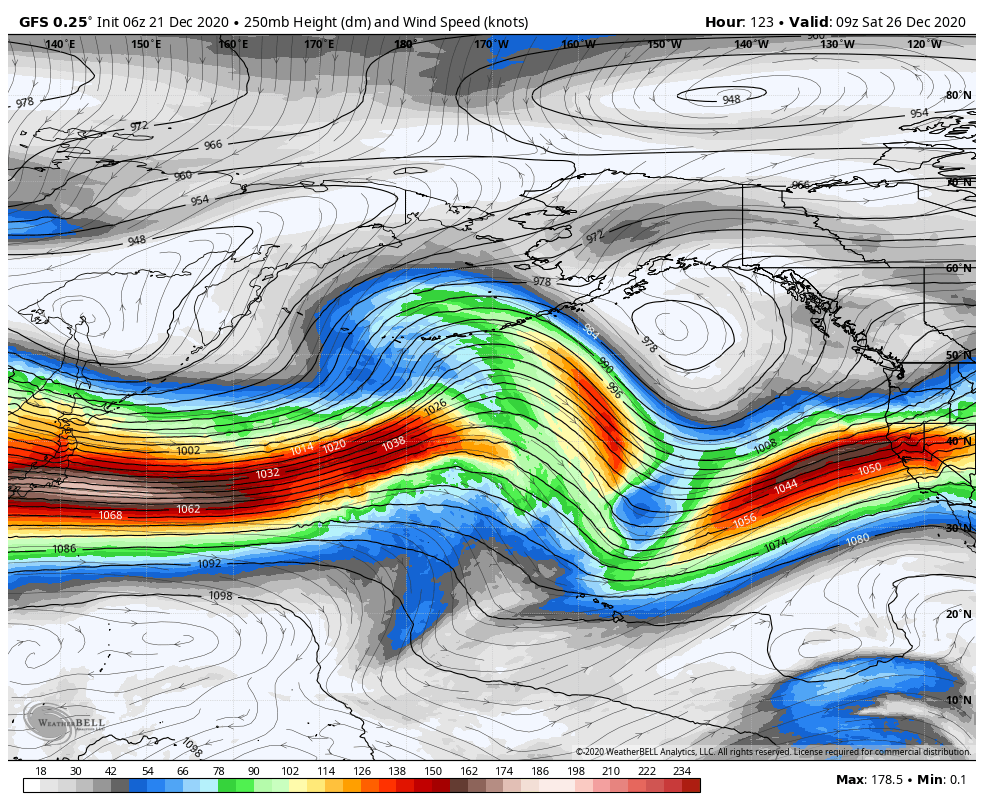
The next storm may push into northern California as early as Friday afternoon. Then a cold front continuing snow Friday night with snow showers lingering into Saturday morning. There are still questions about how much moisture we see with this system. Gusty winds return gusting to up to 70 mph up top by afternoon.
Early estimates are for 9-15 inches of snow on the mountain and 3-7 inches as the base. We will have to fine-tune the forecast all week.
Long-Range:
We may see the next system move in as early as Sunday and into next Monday bringing more snow to the mountain. A 3rd system is possible for the middle of next week. So the pattern looks to be active starting Christmas Day into next week.
BA


