

Snowfall Report:
The snow showers over the mountains Thursday into Thursday night only dropped a dusting at the base and 1 inch of new snow up top.
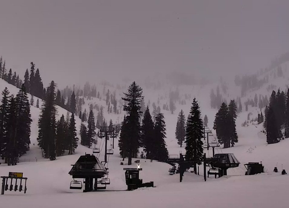
Friday Showers:
Showers will be possible through Friday evening. Highs in the 30s with the gusty winds dropping through the day.
Snow levels are around 6000 ft. as of 7 AM but will rise to around 6500-7000 ft. by afternoon and a tad higher possibly by evening. Then falling back to lake level during the evening hours as the showers clear the area.
We could see a final dusting to an inch near the base and 1-3 inches up top by early Saturday morning.
Saturday Weather:
A nicer day for Saturday with mostly sunny skies and highs into the 30s for the higher elevations and 40s for the lower elevations.
Sunday – Tuesday Storm:
There is better agreement this morning with the scenario for the next storm. Low pressure approaches the Pacific NW Sunday with lighter showers moving into the northern Sierra Sunday morning. Then steadier precipitation Sunday night into Monday and light to moderate precipitation Tuesday as the center of the low off the coast moves through the region.
The heaviest precipitation and snowfall is still expected during the day on Monday. Highs in the 30s through the period and 20s above 8000 ft. Ridgetop winds from the SW gusting up to 50-70+ mph by Sunday evening, and then 60-80+ mph through the day on Monday before dropping on Tuesday.
The snow levels will be fluctuating as each wave moves inland. We start with snow levels near the base Sunday morning but then rising to 6800-7300 ft. by Sunday evening. Then dropping back down to 6000-6500 ft. (near the base) Monday morning and continuing to fall through the day and into Monday night.
That means some rain near the base Sunday into early Monday morning, and then we expect all snow Monday during the heaviest part of the storm and snow showers into Tuesday evening. By Wednesday morning, snowfall totals could be around 14-19 inches at the base, 19-25 inches near mid-mountain, and 23-29 inches up top.
Wednesday – Thursday Weather:
Most forecast model runs now show a break between storms for Wednesday into Thursday with partly-mostly sunny skies and highs warming into the 40s for the lower elevations. We’ll continue to watch the trends for these 2 days closely as the storm door stays open.
Thursday Night – Friday Storm:
The latest model runs have slowed the final storm to Thursday night into Friday, or Friday into Friday night, with a few showers possibly lingering into Saturday morning the 5th before we clear completely.
We’ll continue to watch the trends on this system as well.
Long-Range Forecast:
Weak high pressure is still forecast to start building in over the West Coast next weekend (5th – 6th). The latest trend is now for high pressure to remain over the region through the long-range.
Weak systems with some showers are still possible through the 2nd week of April, but overall the ensemble mean models are trending drier with below-average precipitation.
We’ll continue to watch the long-range through the end of April to see if any late-season storms show up beyond the active pattern over the next week.
BA
