

Tuesday – Wednesday Rain:
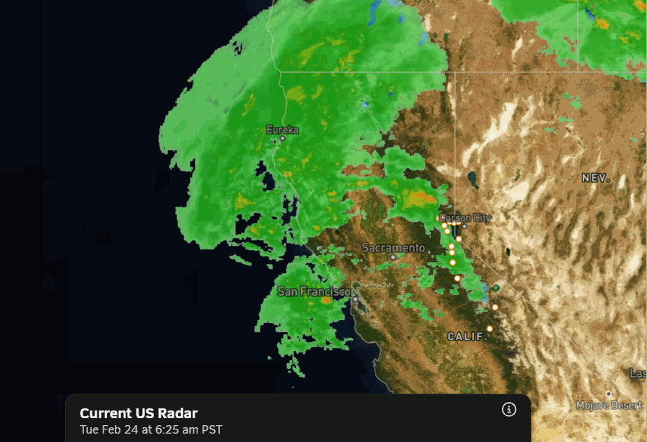
We have rain streaming into the northern Sierra on Tuesday, with showers lingering into Wednesday before clearing through the afternoon. Highs in the 40s for the lower elevations and 30s for the upper mountain.
Ridgetop winds gusting up to 70-80+ mph from the west on Tuesday, possibly higher at times over exposed peaks. Then gusting up to 50-60+ mph over the ridges on Wednesday. Snow levels between 9000-10,000 ft. with mainly rain expected over most of the mountain.
Thursday – Friday Mild Weather:
Partly – mostly sunny on Thursday and Friday with highs into the 50s for the lower elevations and 40s for the upper mountain.
Weekend Showers:
There is a closed low off the West Coast that is still spinning there by Friday. It will try to push east into the West Coast over the weekend, but it will weaken quite a bit as it encounters high pressure over the West. It may bring some clouds and showers to the mountain, but only expecting light showers.
Highs drop into the 40s for the lower elevations and 30s for the upper mountain. The winds don’t look that strong, with SW gusts over the ridges expected to be around 40-50+ mph. Total precipitation forecasts through Sunday look very light, with a high-end of around 1-2 tenths of an inch.
The snow levels could start up around 10,000 ft. Saturday and slowly fall through the weekend with colder temperatures at the center of the low moving inland, down to around 7000 ft. by Sunday evening. Not expecting more than a dusting to an inch of snow on the upper mountain on Sunday as snow levels fall.
We’ll continue to watch the trends, but right now, this just looks like a nuisance system.
Long-Range Outlook:
That system should clear out of the region on Monday, with high pressure building back in, as we may be going into an even drier pattern for a while. The long-range models show the mean position of the high-pressure ridge setting up near the West Coast through at least the 11th of March.
There is good agreement among the ensemble mean models in this ridge position. If this forecast holds, it should hold the storm track far enough north that storms don’t reach far enough south to brush the northern Sierra with showers, but we’ll keep an eye on that.
Overall, even if a system brings us showers, we are expecting a much drier pattern into the 2nd week of March.
Being on the east side of the ridge, the temperatures aren’t forecast to get overly warm over the next two weeks. Highs in the 40s to low 50s for the lower elevations near the base, and 30s and 40s for the higher elevations.
BA
