

Snowfall Report:
We saw some wet snow as low as 7000 ft. Friday afternoon/evening before snow levels jumped up to 8000-8500 ft. overnight. 1-3 inches of wet snow accumulated on the upper mountain before the warmer air moved in.
Saturday – Monday Storm:
As expected, the initial AR that aimed at the northern Sierra briefly Friday afternoon into Friday night has faded. We have a few rain showers around Saturday with snow levels starting around 8000-8500 ft. and then rising to 8500-9000 ft. by evening. The strong ridgetop winds have come down. Highs in the 40s for the lower elevations and 30s for the higher elevations.
The next AR (atmospheric river) of moisture is forecast to push back into CA, aiming at the northern Sierra, by Saturday evening, and continuing into Monday. The heaviest rain is expected Saturday night through Sunday night.
The latest trend this morning on the model runs is for the AR to narrow even more on Monday and sag a bit to our south. So we may see a decrease in the intensity of the precipitation or showers. Then it lifts north again Monday night and to our north by Tuesday, which could bring another round of steady precip Monday night.
Snow levels are expected to rise up to 9000-9500 ft. Saturday night and to stay in that range until Sunday evening. Then, as the AR shifts south into Monday, some colder air is expected to work in with snow levels dropping to around 7200 – 7700 ft. by Monday morning, but intensity is diminishing at the same time. They could stay in the 7000-8000 ft. range through Monday night.
Above 8000 ft. on the mountain, we could see up to 1-2 feet of wet snow depending on how fast the AR drops south and lifts north on Monday, which is when we will have snow levels low enough for snow. Mostly all rain expected near and below 7k’, and several inches of mush is possible between 7000-8000 ft.
Tuesday:
The AR lifts north by Tuesday morning on most model runs, but we could see some showers around with a drying trend likely through the day. Highs continue to be in the 40s for the lower elevations near the base and 30s for the upper mountain.
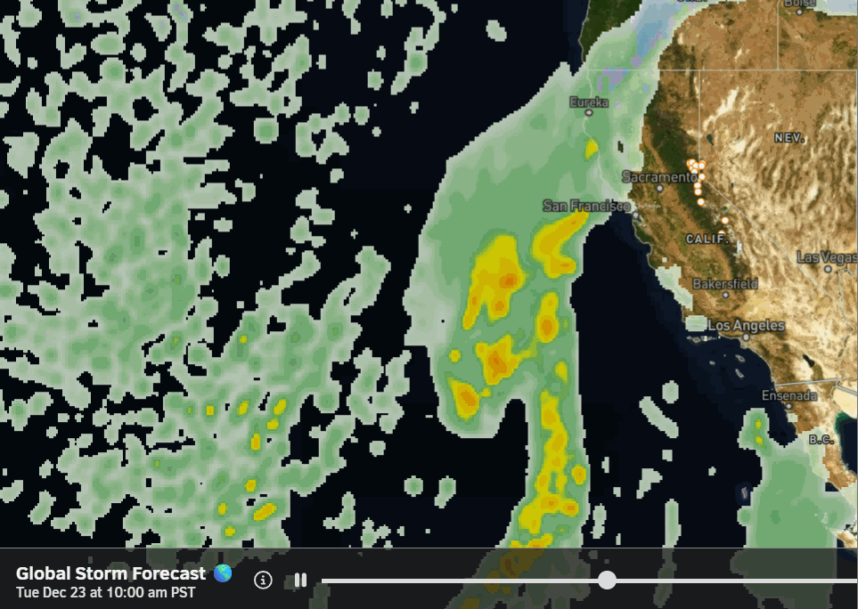
Christmas Storms:
The latest model runs show snow moving from the next storm early Wednesday morning. The first system may have southerly flow that could limit precipitation totals near Tahoe, and then a second storm on its heels for Christmas Day could be wetter and slower, lasting into the 26th.
With the trough digging deep off the coast and the storms digging pretty far south off the coast, southerly flow could be an issue with both systems, but it’s also why they are tapping lots of subtropical moisture to the south. Southerly flow prevents the heaviest precipitation from easily pushing over the crest into the Tahoe basin, and is less favorable for strong orographic enhancement.
The snow levels start around 7000-7500 ft. early Tuesday morning before falling to around 5000-5500 ft. by Wednesday evening. They could reach the base by midday on Christmas Eve. Then likely staying near to below the base in the 5200-6200 ft. range through Friday and falling below 5000 ft. by the end.
My updated snowfall forecast goes off of the average of the 14-15 models I use in my personal formulas for precipitation and snow levels. From Wednesday morning through Friday night, we could see around 2-3 feet of snow at the base, 3-4 feet near mid-mountain, and 3.5 – 4.5 feet up top.
If the rest of the models trend towards the European model, with more shadowing from the southerly flow, we may need to chop 1 – 1.5 feet off of the forecast over the next few days. Hopefully not. Winds will pick back up again on Sunday with ridgetop gusts up to 80-100+ mph, and then 70-80+ mph over the exposed ridges for Monday through Thursday as the storms move through.
The winds finally drop by the end of the week. Colder air behind the storms will allow for snowmaking as well, later in the week. Highs dropping into the 30s for the lower elevations and 20s for the higher elevations. The mountain operations teams will need a couple of days to build the trails, as a lot of this snow is falling on bare ground, so have patience with terrain expansion through the end of the week.
Long-Range Outlook:
The long-range models continue to show high pressure building in quickly behind the storms next weekend and through the 30th of December. That should bring a nice weekend of skiing. It will stay cold through the weekend into the last few days of the month.
The longer-range models continue to show troughing trying to return over the West Coast around the end of the month into the 1st week of January. That will open the door wider to wet storms for them. The models are still at odds on how far south the trough will dig, but most models show it far enough south for us to at least catch the southern edge of storms.
We could see a storm bring some snow around New Year’s Eve, and maybe additional systems during the 1st week of January if the current forecast holds.
BA
