

Over the past 36 hours, we have a somewhat better handle on the precipitation amounts we should see from the storm currently moving into the Sierra Thursday morning, and the snow levels through Friday.
We do have a change for the weekend, though, as a secondary low-pressure center is now forecast to spin up off of SoCal and move north through CA this weekend. We’ll get into that in a minute.
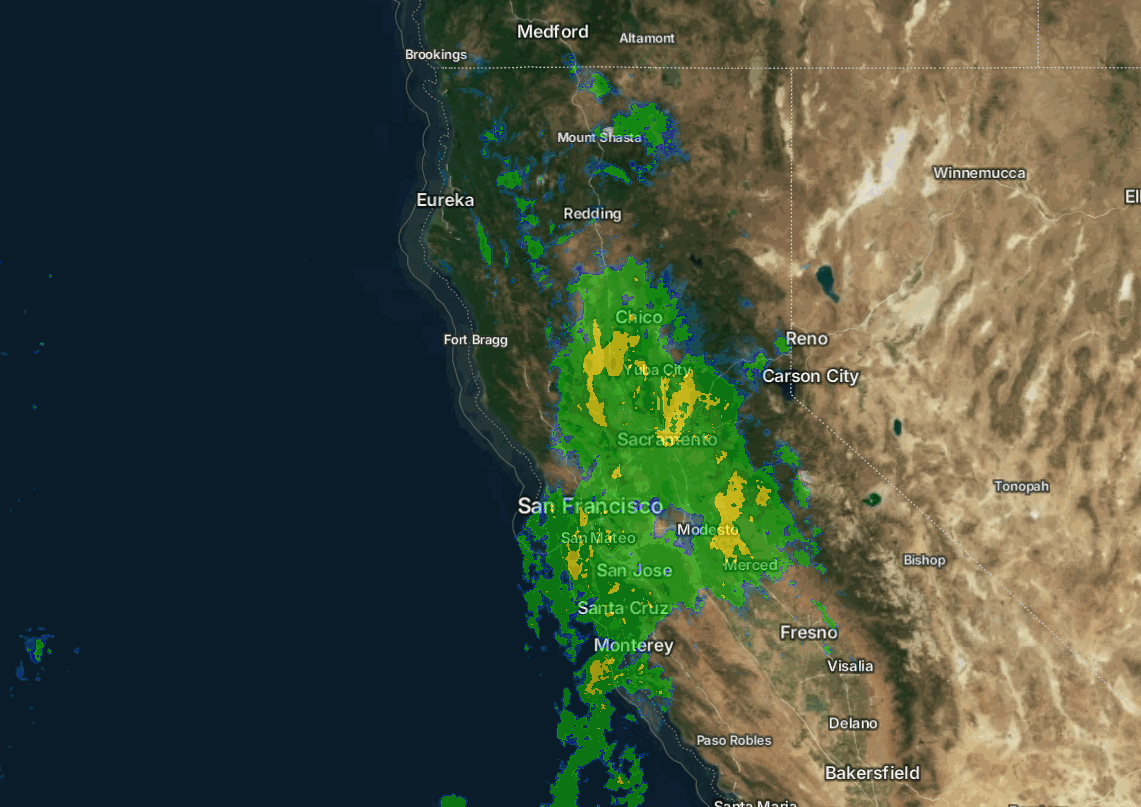
Thursday – Friday Storm:
We have southerly flow parallel to the Sierra as the storm pushes in on Thursday. That will limit the heaviest precipitation to west of the mountain. We will have some rain showers around and ridgetop winds gusting up to 80-90+ mph from the SSW. Highs in the 40s for the lower elevations and 30s for the upper mountain.
Thursday evening/night, we should see a better push of moisture over the mountain, and then showers still around Friday, maybe more so in the morning. The winds drop with high temperatures remaining in the 40s and 30s.
The snow levels are very high for Thursday, up above 9500 ft., which means all rain up to the peaks. They start to slowly fall into the evening, but only bottom out near 8000-8500 ft. by Friday morning, and maybe dipping to 7500-8000 ft. Friday with the residual showers.
Not much to talk about for the snowfall on Thursday. Thursday night, we could see some wet snow accumulate on the peaks above 8500 ft. and then above 7500 ft. on Friday. In total, by Friday afternoon, we could see around 2-6 inches of snow above 8000 ft, with up to a coating down to 7000 ft.
The Weekend:
The new trend over the last 36 hours has been for a low-pressure center to spin up off of southern CA this weekend and move northward through CA, bringing showers mainly to our south Saturday, and then through the northern Sierra Saturday night into Sunday.
We will have some clouds around Saturday and the chance for a shower or two, but a better chance on Sunday. Highs remain in the 40s for the lower elevations and 30s for the upper mountain. The winds won’t be that strong with this system.
In total, for Saturday – Sunday, we could see several tenths of an inch of additional precipitation. The snow levels slowly fall and could be around 7000-7500 ft. for most of the day on Sunday, with some snow accumulating on the upper mountain.
Monday System:
There won’t be a break as the cold front sweeps through Monday into Monday night, keeping the rain and snow showers going. We could see several more tenths of an inch of precipitation, with maybe up to 1 inch of additional precipitation falling on the mountain by Tuesday morning.
Highs drop into the 30s with 20s for the peaks. Snow levels could be near to just above the base on Monday, around 6100 – 6600 ft., and then finally fall below the base Monday night with any remaining showers behind the front, and then we clear out for Tuesday.
We should see a few more inches of snow accumulate on the mountain, maybe even a little at the base, for Monday – Monday night. In total for Saturday night through Monday night, we could see around a coating to an inch at the base (unless snow levels fall faster on Monday), 4-8 inches near mid-mountain, and 6-11 inches up top.
Long-Range Forecast:
The long-range models continue to struggle with the pattern through the end of the month. They suggest another storm could sneak in around the 20th. But high pressure is building off the coast, which should start to block wetter storms later in the month, and it could nose into the West Coast by the 22nd.
We should stay on the cool side with the colder temperatures likely to stick around, but we may go into a drier pattern after Monday, or after a system on the 20th.
That ridge off the coast is forecast to amplify up into Alaska by the last week of November. That pattern typically drives colder air from the north south into the trough over the West. We could see even colder air if this pattern sets up.
That’s good news for snowmaking, but not great news for big snowstorms. If we see this pattern, we could see dry systems with snow showers at times. We’ll continue to watch for a bigger snowstorm.
BA
