

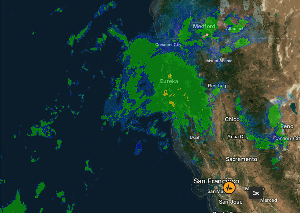
Sunday – Monday Rain:
We have rain falling Sunday morning up to 9000 ft. or higher. This is the warm part of the storm with lots of rain that we expected for Sunday. Highs in the 40s with ridgetop winds gusting up to 70-100 mph from the WSW.
The rain will continue into Monday. The latest model runs show the AR shifting south a bit into the day on Monday before lifting north Monday night, but not as far south as forecast the last couple of days. The slightest adjustment of where the AR shifts north to south can shift snow levels 1000 – 2000 ft., and where it is aimed the longest can make a big difference in precipitation totals.
With the AR forecasted to not dip as far south on Monday, the snow level forecasts are higher this morning. We still expect snow levels to stay in the 9000 – 9500 ft. range through Sunday evening, then falling near 8000 – 8500 ft. by Monday morning into Monday night. A few flakes as low as 7500′ possibly Monday evening.
That should keep most of the snowfall accumulations above 8000 ft. through Monday night, where we could see around 7-14 inches of wet snow up top by early Tuesday morning. Maybe a coating up to a few inches of mush near 8k, down to 7500 ft. Hopefully, snow levels do drop close to 8000 ft. on Monday so that we can start to accumulate some base-building snow up top.
Tuesday:
A break in the precipitation is expected on Tuesday. We could see a little sun even between storms with highs into the 40s.
Christmas Miracle Storms:
We are still tracking the two back-to-back storms that will move through Christmas Eve and Christmas Day, bringing us snow finally, with snow showers lingering into Friday.
Some forecast models are still shadowing the heaviest precipitation from the northern Sierra with the southerly flow. They are wetter with the Thursday storm as it progresses inland. Others are wetter with both storms as they progress them more inland with better forcing for the northern Sierra. The average this morning is around 5 inches of total precipitation by Saturday morning.
We will see gusty winds through Thursday with highs dropping into the 30s for the lower elevations and 20s on the upper mountains. The winds finally drop off on Friday.
The snow levels could start out around 7000 – 7500 ft. early Wednesday morning as snow moves in after midnight. Then falling near the base, around 5500 – 6000 ft., by late morning. These storms are colder but not super cold as they tap subtropical moisture. Snow levels could fluctuate between 5500 – 6500 ft. through Friday before falling lower at the end Friday night.
That means snow levels could be hovering right near the base with some rain possibly mixing in at times in the village. But I’m hoping the snow rates are heavy enough to hold them to the base of the mountain the entire storm. By Saturday morning, we are still expecting 2-3 feet of snow at the base if we see mostly snow. 3-4+ feet on the mountain.
Next Weekend:
A few models linger snow showers into Saturday, but most models are clearing the storm out by Saturday with a partly-mostly sunny weekend along with colder temperatures. Highs remaining in the 30s for the lower elevations and 20s for the higher elevations.
Long-Range Outlook:
The long-range models continue to show high pressure over CA the last few days of the month, with the drier pattern expected to continue. A few model runs are still trying to sneak some snow showers into Tahoe for New Year’s Eve, but I’m not sure I buy it right now with the current pattern forecast.
Going through the 1st week of January, the longer-range models continue to show the trough trying to broaden and dig south down the West Coast again. But they disagree on how far south, and the trend is towards not as far south as we want.
The storms will likely return to the Pacific NW, but we may need to hope storms can dig far enough south to brush us. Not a great pattern for wet storms unless a stronger storm can dig farther south. Let’s hope we can at least get some storms to dig far enough south to bring us some fresh snow. The good news is that it’s not a warm pattern.
BA
