Wednesday – Friday Storm:
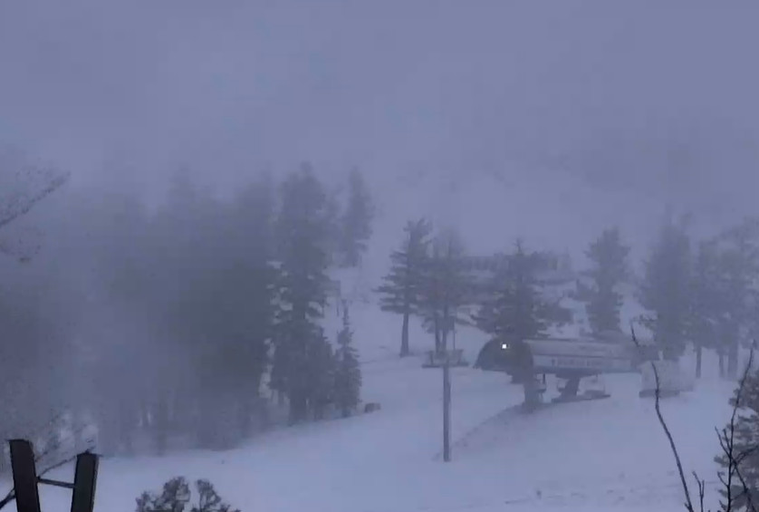
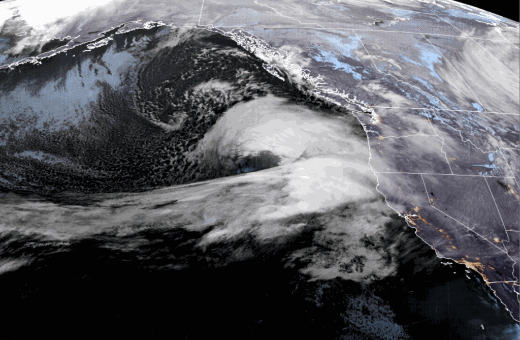
Clouds and winds will increase into Wednesday afternoon, with ridgetop gusts up to 90-100+ mph. Rain & high elevation snow showers push in by around 1-3 PM. This first round of steadier precipitation will become scattered showers Wednesday night into Thursday.
Scattered showers continue for Thursday with the strongest winds diminishing. Highs into the 40s for the lower elevations on Wednesday and Thursday. Snow levels are going to be high, and the lighter precipitation intensity will keep them even higher. They could fluctuate between 7000-8000 ft. through Thursday, maybe down to 6500 ft. under heavier bands of precip.
Another round of steadier showers is expected for Thursday night into Friday before tapering off Friday night. This time colder air moves in and drops the snow levels below the base. The latest forecast model runs don’t agree on how far south the heaviest precipitation pushes with both rounds of steadier precipitation Wednesday and again Thursday night – Friday.
Based on the high snow levels we aren’t expecting any accumulations below 6500 ft. down to the base until Thursday night into Friday, and the snow ratios will be low for the mountain above 6500 ft. where any snow falls. Around 8000 ft. snow ratios could average near 9:1 Wednesday and increase to 14:1 Friday.
Using the average for temperatures, snow levels, and precipitation totals, we could see 3-day totals of around 1-4 inches at the base, 2-6 inches near mid-mountain, and 4-8+ inches up top by early Saturday morning.
The Weekend:
Saturday and most of Sunday should have partly-mostly sunny skies, but with highs only in the 30s. Maybe close to 40 degrees near the base by Sunday afternoon.
Sunday Night – Monday Storm:
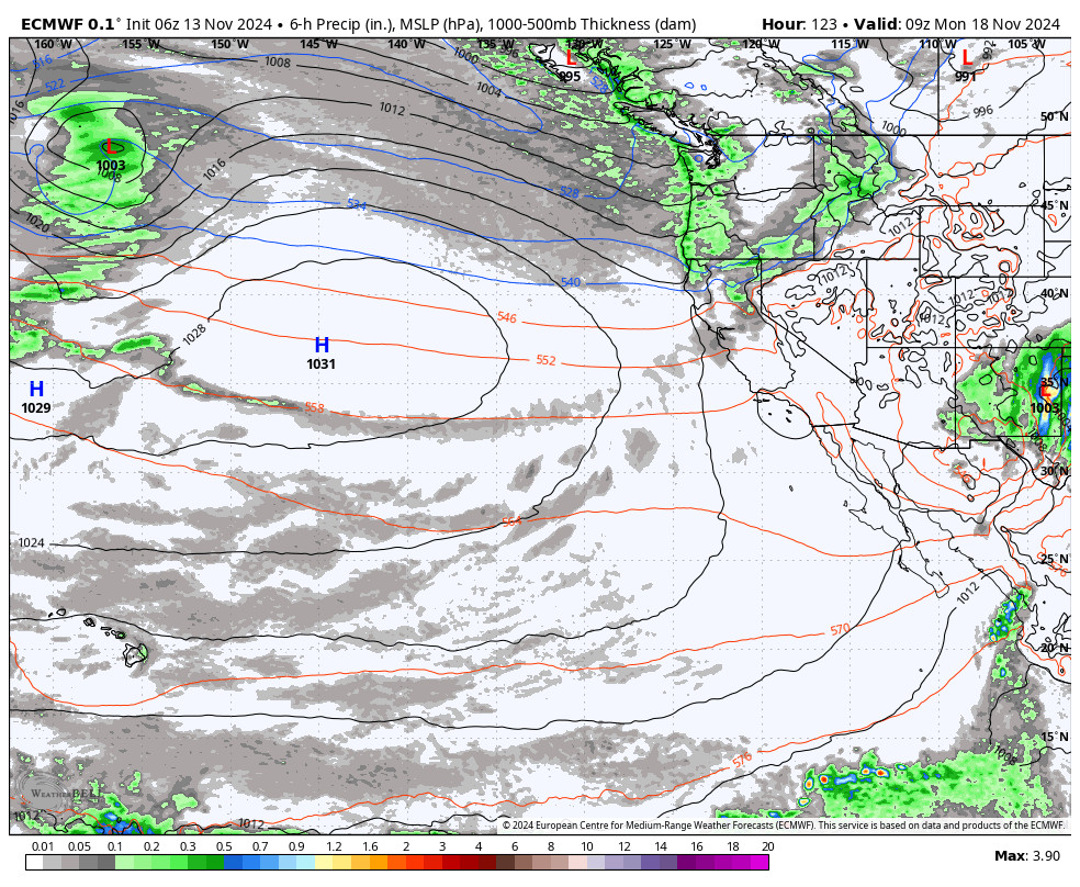
The next storm moves through to our north into the Pacific NW, and the southern edge will come close to Tahoe. Some forecast models show enough precipitation for up to a few inches of snow, while others miss us completely.
I’d like one more day for the models to try and figure this out before making a forecast, but it looks like light amounts of snow if any by Monday morning. Then the storm clears Monday afternoon. It stays cold into early next week with highs in the 30s.
Long-Range Forecast:
The long-range models still show high-pressure building in over the West Coast by the middle of next week. That will bring a dry period through at least the end of the week, and likely slightly warmer high temperatures later in the week.
By the 23rd and beyond, some models try to weaken the ridge, and some try to undercut it with lower heights into the West Coast. Storms look to try and move into CA through the last week of November, but may not be able to or could be weakened by the time they do.
Right now I’m leaning toward a drier pattern with a weak system if any, but hopefully that changes and we get more storms before the end of the month.
BA


