

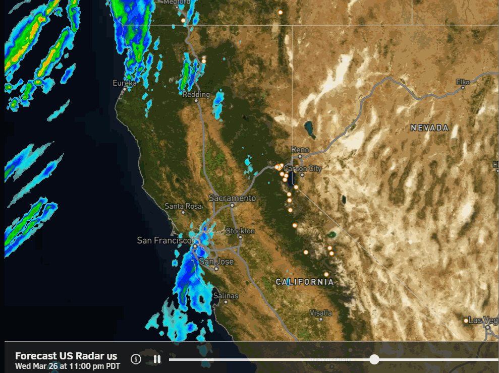
Wednesday Weather:
Mostly sunny Wednesday morning with some clouds moving in during the afternoon, and a few scattered showers are possible near the crest by evening. Highs in the 50s on the mountain to near 60 degrees at the base. Ridgetop winds gusting up to 30-50+ mph from the SW by evening.
Wednesday Night – Friday Showers:
Scattered showers continue Wednesday night and then steadier showers move in Thursday. Highs into the 40s for the lower elevations and 30s for the higher elevations. Ridgetop winds gusting up to 70-90+ mph closing some lifts.
Scattered rain and snow showers through Friday should diminish Friday evening and clear out by Saturday morning. Lighter winds Friday, but still a little gusty over the ridges. Highs in the 30s.
The snow levels start very high up near 10,000 – 11,000 ft. Wednesday evening and only fall to around 7800 – 8800 ft. by Thursday morning, 6000-7000 ft. by Thursday evening, dipping to around 5000-6000 ft. Thursday night, back up to 6300 – 7300 ft. Friday, and 4500-5500 ft. Friday night as the showers diminish and clear by Saturday morning.
By Friday night we could see around a coating up to 2 inches on the colder surfaces at the base, 1-4 inches near mid-mountain, and 2-6 inches up top. A reminder that this is spread out over 2.5 days, so not much per 12-hour period.
Saturday Weather:
There will be a break between storms for Saturday with partly-mostly sunny skies and highs into the 40s for the lower elevations with 30s for the higher elevations above 8000 ft.
Sunday – Tuesday Storm:
The latest model runs are coming into better agreement that the next storm will move in on Sunday morning, with a secondary wave for Monday, and the center of the low-pressure system possibly keeping precipitation around through Tuesday.
We may not see much of a break in the showers and steadier precipitation through the 3-day period if the current forecast verifies. Sunday is the only day in the 5-day forecast window today, so we’ll look at the potential snowfall through Sunday night.
Highs in the 30s for the higher elevations on Sunday and 40s near the base. Ridgetop winds are increasing to 50-70+ mph by afternoon, likely affecting some upper mountain lifts. Snow levels start near to just below the base but rise up to around 6800-7300 ft. by Sunday evening before falling back near the base by Monday morning.
That means a mix for the base with little accumulation expected. 1-4 inches of snow is possible near mid-mountain and 2-6 inches up top by Monday morning.
We’ll add in the snowfall forecasts through Monday and Tuesday over the next 2 days. It does look like snow levels will continue to fluctuate over the 3-day period with each wave.
Additional Storms:
Troughing continues over the West Coast through the 5th with additional low-pressure systems and storms moving into the West Coast. The GFS model shows a big storm with an AR aimed at the Sierra next Wednesday, the 2nd, but it is alone right now.
The rest of the models show additional weak/moderate storms moving through during the period, with the final one possibly around Saturday the 5th. Overall, above-average precipitation is still forecasted during this period. We’ll continue to watch closely for any significant storms and snowfall.
Long-Range Forecast:
By the 6th, the ensemble mean models are in decent agreement that high pressure builds in over the West Coast, bringing an end to the string of storms moving through. That could last for a few days or longer. Some models suggest another trough with showers possible by the 9th – 10th, while others keep us in a drier pattern as we go towards mid-April.
BA
