

Friday – Saturday Showers:
As of Friday morning, snow levels are up around 8000 ft. as showers continue to rotate through. The showers will continue to move through into Saturday. Highs into the 40s for the lower elevations and 30s for the higher elevations. Ridgetop winds increasing to 40-50+ mph from the SW on Saturday.
Snow levels sitting up around 8000-8500 ft. on Friday, falling to around 7000-7500 ft. Friday evening, close to the base by Saturday morning, and then back up to around 7000-7500 ft. during the day on Saturday. We could see several inches of wet snow on the upper mountain.
Colder Storm with Snow:
Saturday night into Sunday, the next low-pressure system spins through the region. There is colder air at the center of that low that will drop snow levels Saturday night as some heavier snow pushes in, and then snow showers through Sunday with highs only in the 30s and 20s for the upper mountain.
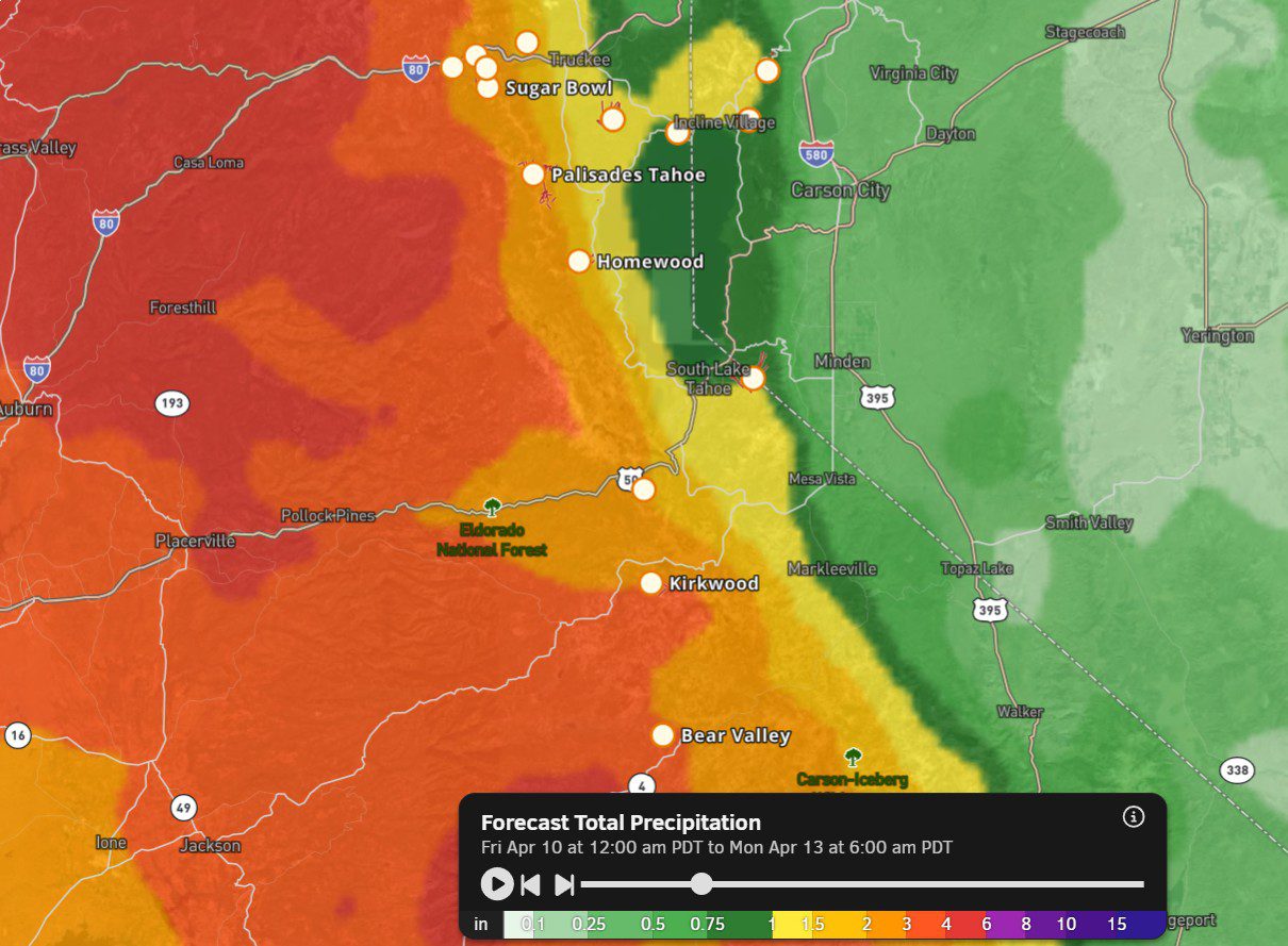
The latest model runs show up to 2+ inches of additional precipitation over the mountain through Sunday. The snow levels are forecast to drop quickly on Saturday night. They could be around 7000 ft. as of 4-5 PM and then to the base by 10 PM, and staying below the base through Sunday.
That means rain at the base through Saturday evening, and then snow Saturday night into Sunday with around 6-11 inches of total snowfall possible by Sunday night. Around 13-18 inches in total are possible near mid-mountain, and 19-25 inches up top. Most of that falls Saturday night into Sunday.
Some of this precipitation will be very convective with some thunder and maybe lightning at times through the weekend. Typical of spring storms.
Next Week:
Partly sunny skies for Monday and mostly sunny Tuesday and Wednesday. We could see a system brush us with some rain and snow showers on Thursday, and then maybe drier next Friday.
Highs into the 40s for the lower elevations and 30s for the higher elevations through the end of next week.
Long-Range Outlook:
The long-range models continue to show Western U.S. troughing through at least the 3rd week of the month, with high-pressure ridges in the Gulf of Alaska and over the Eastern U.S.
That would keep cooler air and seasonal temperatures over the West, and storms to the north. We could see some systems dip far enough south to bring us some showers at times. We will keep an eye on that through the last weekend in April.
The high temperatures near the base may warm into the 50s by next weekend, and stay in that range into the long range, with highs around 10 degrees cooler at the top of the mountain.
BA
