Skip to content
Palisades Tahoe Logo Palisades Tahoe Logo Palisades Tahoe Logo
Explore
Main Menu
  • Explore Palisades Tahoe
  • Base to Base Gondola
  • Our New Name
  • Explore Legendary Lifts
  • Palisades Tahoe Blog
  • About Lake Tahoe
  • About Us
Plan Your Visit
Main Menu
  • Tickets & Passes
  • Lodging
  • Lessons & Guides
  • Deals & Packages
  • Rentals & Demos
  • Travel Here
  • Getting Around
Mountain Information
Main Menu
  • Snow and Weather
  • Lift and Grooming Status
  • Webcams
  • Hours of Operation
  • Trail Maps
  • Parking & Road Conditions
  • Snowfall Tracker
Events & Activities
Main Menu
  • Events Calendar
  • Activities
  • Dining & Apres
  • Shopping
  • Things To Do In Lake Tahoe
  • Groups, Meetings & Weddings
  • Ski & Snowboard Teams
IKON PASS HOLDER LODGING DISCOUNT

Ikon Pass holders save up to 20% on slopeside lodging at The Village at Palisades Tahoe.

SLOPESIDE LODGING
Icon / FlashCreated with Sketch.
View All Offers
  • Weather

Rain & Snow Showers Possible Tuesday & Wednesday

  • Apr 12, 2021
  • 8:11 am

Tuesday – Wednesday Showers:

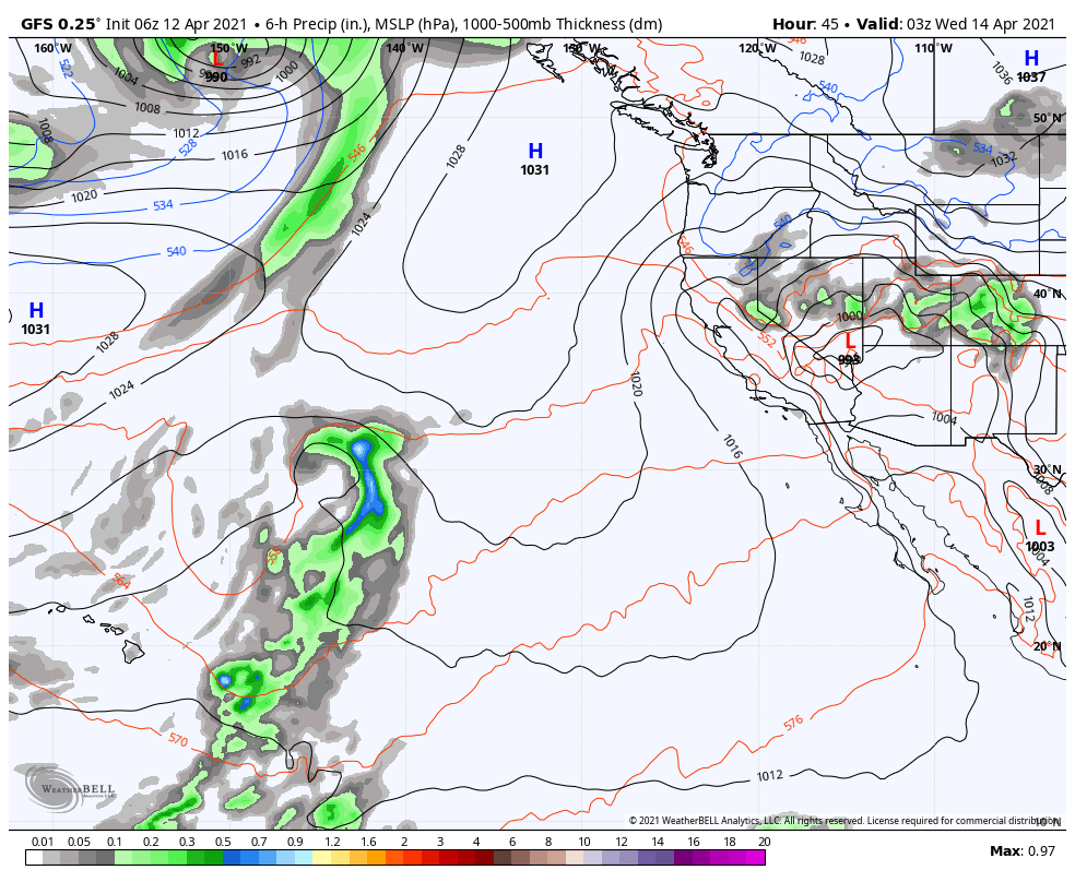
Tuesday into Wednesday a cold trough and cut-off low move into the Great Basin to our east. That will bring colder air with highs only in the 40s on the mountain Tuesday and Wednesday, with 30s up top. We could also see gusty winds Tuesday with gusts up top of 50-60+ mph at times, possibly affecting some upper mountain lift operations.

We will have partly sunny skies with clouds and the chance for showers increasing both days by late morning into the early evening hours. Snow levels mainly above 7000-7500 ft. but they could be dragged lower if we see heavier bands of showers form over the mountain, and then possibly to the base at night.

Only expecting snow to accumulate on colder surfaces like the snow already on the ground, especially on the lower mountain and at the base if we see any snow. Likely some rain showers at the base with a chance of a change to snow under heavier showers, especially Tuesday evening. We could see 1-6 inches of wet snow accumulate in total on the mountain through Wednesday evening.

Thursday – Friday:

High pressure builds back in as the low moves east starting Thursday. Sunny skies return with highs warming into the 50s at the base and 40s above 8000 ft.

Long-Range:

High pressure may continue to build over the West Coast through the weekend and into the week of the 19th. Highs warming into the 50s for the upper mountain and 60s at the base.

We are watching a strong typhoon forming near the Philippines that may get caught up in the westerlies during the last week of April. We will keep an eye on that to see if that could help to shift the pattern and bring in some precipitation during the last week of April.

BA

lake tahoe weather snowfall forecast Squaw Weather Forecast
Bryan Allegretto
Bryan Allegretto

Share this article:

Recent Posts

  • Weather ·
  • March 24, 2023·

Drier w/ Spotty Snow Showers thru Sunday

Snowfall Report: 3-5 inches of new snow fell on the mountain, from the base to the upper mountain, in the…
Read more
  • Weather ·
  • March 23, 2023·

Snow Thursday, Drier for the Weekend

Snowfall Report: An additional 2 inches of snow fell on the mountain in the past 24 hours as of 5…
Read more
  • Weather ·
  • March 22, 2023·

Scattered Snow Showers Continue

Snowfall Report: We were expecting 1-4 inches to fall Tuesday-Tuesday night. We picked up the lower end of the forecast…
Read more

Social

Instagram Twitter Facebook Youtube

Contact

   Email Us
   1.800.403.0206

Our Partners

U.S. Forest Service Logo
1960 Olympic Valley Road
Olympic Valley, CA 96146

©2022 Palisades Tahoe

Alterra Mountain Company
  • Privacy Policy
  • Terms of Service
  • Photo Upload Terms of Use
  • Accessibility
  • Do Not Sell My Personal Information
  • Privacy Policy
  • Terms of Service
  • Photo Upload Terms of Use
  • Accessibility
  • Do Not Sell My Personal Information