Snowfall Report:
Snow showers on Monday dropped a final coating up to 2 inches of snow on the mountain. That brought the 2-day storm total to 6 inches on the upper mountain and the season total to 698 inches!
Tuesday – Thursday Sun:
We finally have mostly sunny skies on Tuesday. We started the day cold with temperatures in the single digits. We will warm into the 20s on the upper mountain and 30s for the base. The winds have finally dropped as well.
The mostly sunny skies are expected to continue Wednesday and Thursday with some clouds possibly increasing later in the day on Thursday. Highs into the 30s on the upper mountain and 40s for the base.
Thursday Night – Friday System:
We could see rain and snow showers arrive by Thursday evening and continue into Friday, and possibly Friday evening. Highs into the 30s and 40s again for Friday with ridgetop winds increasing from the southwest and gusting up to 50-60+ mph. That could affect some exposed upper mountain lift operations.
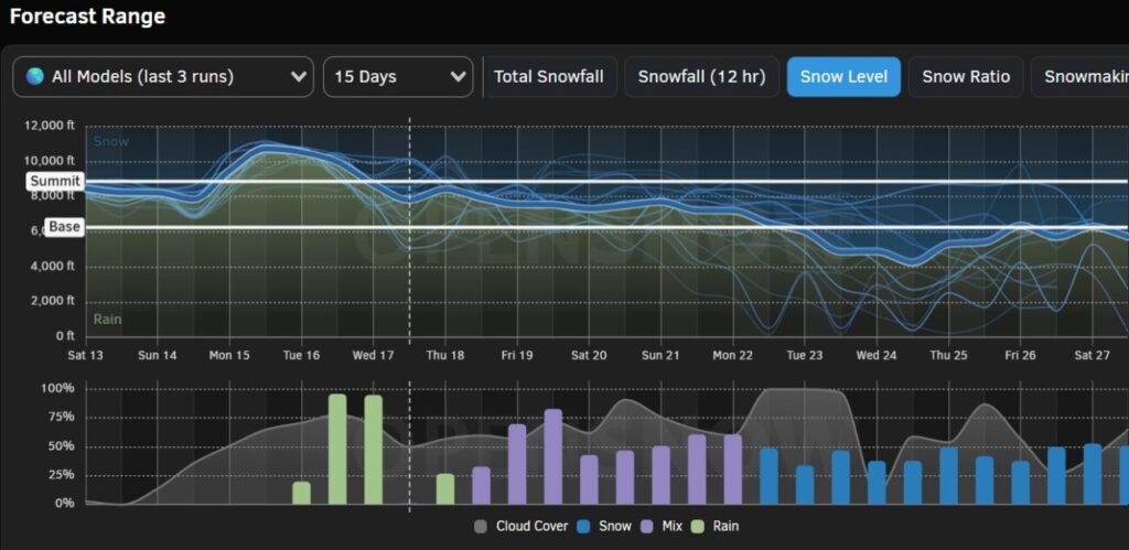
The snow levels look to start out around 6000-7000 ft. Thursday evening and then fall to around 5000-6000 ft. overnight. Then rising up to 6400-7400 ft. Friday and continuing to rise into Friday night. That means we could see a little snow at the base Thursday night and then rain showers Friday for the base and lower mountain, with wet snow on the upper mountain.
By early Saturday morning we could see snowfall totals of:
- 0-3 inches at the base.
- 1-4 inches at mid-mountain elevations.
- 2-5 inches up top.
The snow on the lower mountain and base could start to melt by Friday as the snow levels rise.
Weekend Showers:
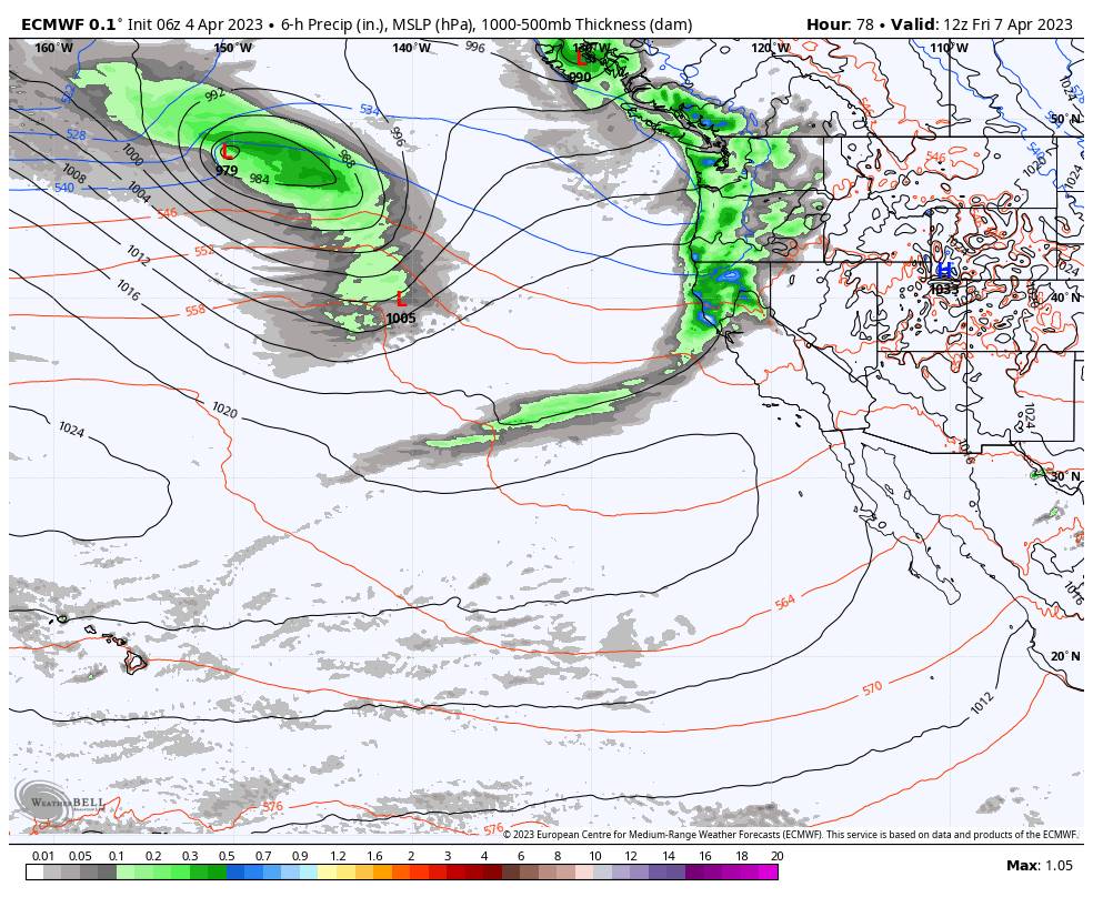
The latest model runs continue to trend toward a cooler and more unsettled weekend after previously showing a mild and dry weekend earlier this week. Low pressure spinning off of the Pacific NW coast will rotate storms through to our north, with the southern edge of the precipitation trying to reach the northern Sierra and Tahoe basin.
The trend continues to be toward more showers reaching the mountain from Saturday through Sunday. Snow levels could rise to between 8000-9000 ft. Saturday and then rise above the top of the mountain Saturday night through Sunday night. That means we could see a little wet snow Saturday up top and then just rain showers through Sunday.
We’ll continue to watch the trends to see how much precipitation could see over the weekend. Right now the amounts look fairly light. We could see a mix of clouds with a little sun peeking through at times with the chance for scattered showers.
Long-Range:
Next week the models are split on whether the unsettled pattern continues Monday into Tuesday the 11th, or we see a bit of a break until the 12th. Once we do shift the pattern we could stay in a cool and unsettled pattern through mid-month and into the 3rd week of April.
We’ll continue to watch the trends and will keep an eye on the storms to see if any could bring accumulating snow to the mountain through April.
BA


