

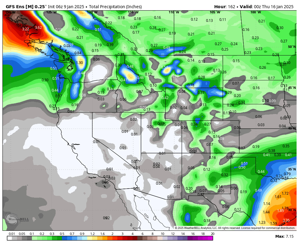
Another Dry Week:
We will continue to see some gusty northeast winds on Thursday which could affect some upper mountain lifts. Other than that we expect sunny skies each day through next Thursday the 16th or longer. We will have highs in the 40s through Friday.
A western trough digs west far enough to funnel in some colder air starting this weekend into early next week, with highs only in the 30s. But the high-pressure ridge near the West Coast will continue to block storms with a dry forecast through mid-month.
Long-Range Forecast:
We are still watching for the pattern to start to shift a little around the 18th through the 23rd, with the ridge over the West Coast starting back up away from the coast a bit. That may be enough to start funneling colder air into the West from the north, and cold fronts from the north that could bring light snow to the Sierra.
During the last 7 days of January, the ensemble mean models show the ridge continuing to retrograde west away from the coast, with a trough eventually over the West and West Coast by the end of the month. As the pattern opens up it could allow wetter storms to drop in from the NW.
We’ll continue to watch the trends to see when snow could return to the mountain and will have more details once we have confidence in a storm coming within a week.
BA
