

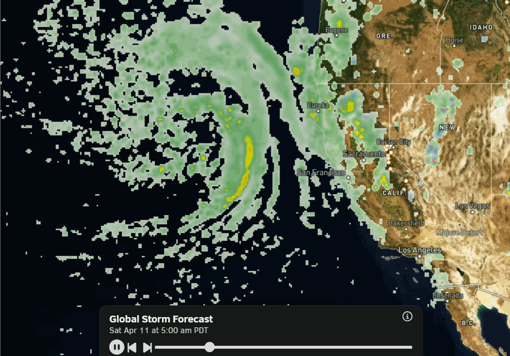
Thursday – Saturday Showers:
We have clouds and sun on Thursday morning. The clouds will increase throughout the day, with showers moving in later in the day. Then continuing into Friday and Saturday as the low-pressure system slowly moves east through the region.
The total precipitation amounts through the day on Saturday are forecast to be on the lighter side, with an inch or less over the mountain. The latest model runs have slowed the arrival of the colder and wetter storm until Saturday night.
Highs into the 40s for the lowest elevations and 30s up on the mountain. The ridgetop winds look to be strongest Saturday night, and maybe only up to 50-60+ mph during the day on Saturday. Lighter for Thursday – Friday.
The snow levels look to stay above 9000 ft. Thursday. Then lowering to around 7500 – 8000 ft. by the end of the day on Friday, and 6500-7000 ft. by Saturday morning. They could rise back up to around 7000-7500 ft. on Saturday ahead of the next storm. That means mainly rain is expected below 7000 ft. through Saturday, with a mix between 7000 – 8000 ft., and mostly snow above 8k’ starting Friday.
The Colder Storm:
The latest model runs bring in the colder and wetter storm Saturday night with rapidly falling snow levels and a round of heavier precipitation. We could see as much precipitation fall just Saturday night as we see for Thursday – Saturday combined.
Highs drop into the 30s for the lower elevations on Sunday and 20s for the higher elevations as snow showers could continue through the day, especially over the mountains. The snow levels are forecast to drop quickly on Saturday evening, down to around 5000 ft., and then to 4000 ft. overnight. Then rising a bit on Sunday back up to 6000-6500 ft. by afternoon.
That means rain below 7000 ft. down to the base will quickly turn to snow Saturday night with the cold front and steadier precipitation moving through. We will have to see if the precipitation outruns the colder air like the last storm, or if we can drop snow levels fast enough this time to get several inches of snow at the base by Sunday.
We will see snowfall totals increase as you go up in elevation, with around 5-9 inches possible near the base by Sunday afternoon, 12-17 inches possible above 7000 ft., and 16-22 inches possible above 8000 ft. That includes a final inch or two possible from the snow showers on Sunday.
Monday – Thursday:
We are expecting a break in the storms with mostly sunny skies for the first half of next week. Highs back into the 40s for the lower elevations by Monday and 30s for the higher elevations. Then warming into the 50s for the lower elevations and 40s for the upper mountain by midweek.
Long-Range Outlook:
The long-range models agree that no strong high-pressure ridges will set up over the region through most of April, keeping the temperatures seasonal or on the cooler side, and keeping the door open to systems brushing us with showers at times. Possibly by the end of next week.
The change is that some long-range models are now farther north with the lower heights and less troughing later into April, while others are still showing deeper troughing over the West Coast.
The deeper trough would keep the door open to some wetter storms possibly moving into northern CA later in the month. We’ll keep an eye on that to see if we will just get some showers at times, or possibly another storm or two that could add to our April mountain snowfall totals.
The temperatures near the base are forecast to stay in the 40s and 50s for highs through the period, and up to 10 degrees cooler each day up top. So we aren’t expecting any heat waves with highs into the 60s – 70s as we saw at times in March.
I’ll let you know if that changes. Stay tuned…
BA
