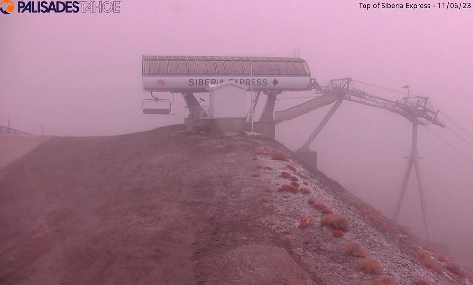
Monday Storm:
We will see rain and snow showers throughout the day on Monday and into the evening before clearing Monday night.
Snow levels will fluctuate between 7000-8000 ft. through the day with rain and wet snow falling in that range. Only rain is expected below 7000 ft. down to the base through the afternoon. We could see a few flakes to base later in the evening as the snow levels drop, but most of the moisture will be out of the area by then.
We are expecting little if any snowfall accumulations up to 7000 ft. Between 7000-8000 ft. we could see a coating up to a few inches of wet snow, with the highest amounts closer to 8k. Above 8000 ft. we could see 3-7 inches, with the highest totals on the peaks.
Tuesday – Sunday:
Cooler weather the rest of the week with highs only in the 40s at the base and 30s for the upper mountain. Colder nights are expected with overnight lows in the 20s will allow for some snowmaking.
We could see a few scattered snow showers Tuesday afternoon, but overall drier with some sun the rest of the week into the weekend. Highs over the weekend will warm into the 50s at the base as high pressure builds over the West.
Long-Range Forecast:
The long-range models are in decent agreement that a deep trough will push into the West Coast by the middle of next week, around the 14th-15th. The European model is faster with the arrival of a storm by Tuesday the 14th. The rest of the models are showing a decent storm by next Wednesday-Thursday.
We’ll continue to keep an eye on the forecast for next week to see if we could get a decent storm that could bring accumulating snowfall to the northern Sierra.
BA


