

Snowfall Report:
We saw 1-2 inches of new snow down in the village Sunday night before a change to rain early Monday morning. The upper mountain is reporting 8 inches of new snow in the past 24 hrs as of 5 AM Monday. The 2-day totals for the weekend are 13 inches. We were expecting 12-17 inches on the upper mountain for the weekend period, so the reports are in line with what we were forecasting.
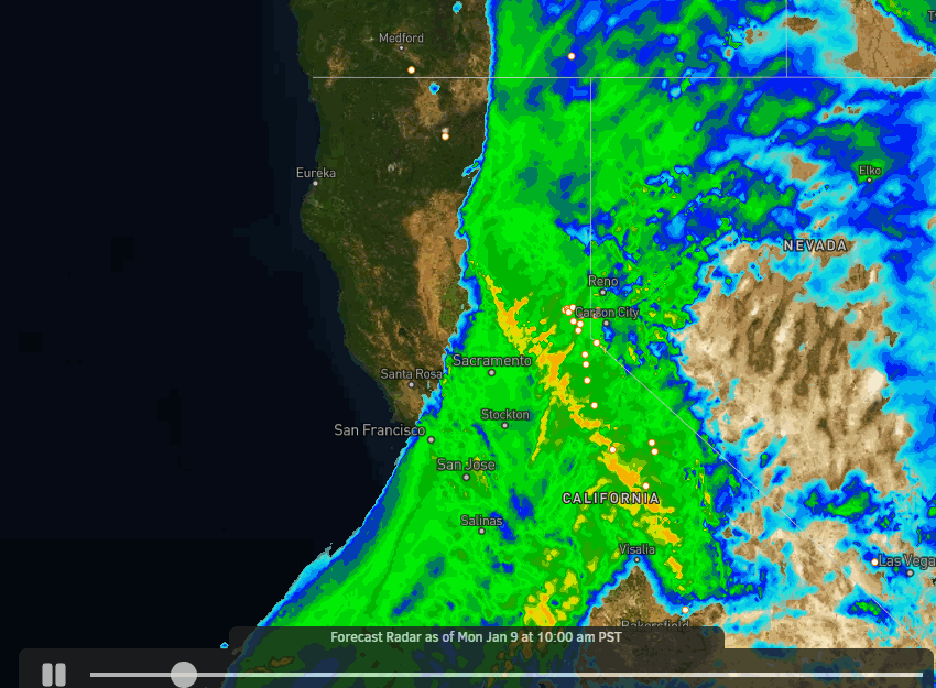
Monday – Monday Night:
The storm continues Monday morning with heavy rain and snow. Snow levels look to peak between 7000-7500 ft. for several hours Monday morning with heavy rain at the base & heavy wet snow on the upper mountain. Then falling below the base during the afternoon. The heavier snow shifts south of us Monday afternoon with scattered snow showers possible through Monday evening.
Ridgetop winds gusting from the southwest up to 100+ mph Monday morning which is closing several upper mountain lifts. They are expected to drop to around 30-40+ mph by the end of the day. Highs in the 30s and temps dropping into the 20s up top through the afternoon.
By Tuesday Morning we could see additional snowfall amounts of:
- 1-3 inches at the base.
- 3-9 inches for mid-mountain elevations.
- 6-11 inches up top.
Tuesday – Tuesday Night:
The 2nd wave of precipitation from this storm moves in early Tuesday with heavier snowfall Tuesday morning. Then becoming lighter Tuesday afternoon and more scattered Tuesday night. Snoe levels fall well below the base for this period. Highs in the 20s on the mountain Tuesday with a drier snow falling.
The winds increase again Tuesday and could be gusting up to 60-70+ mph from the southwest up top through the day, which could affect some upper mountain lifts again. That could possibly affect a few lifts. Highs in the 30s at the base and 20s up top. There could also be some delays from digging out and avalanche control operations.
By Tuesday Morning we could see additional snowfall amounts of:
- 11-17 inches at the base.
- 14-20 inches for mid-mountain elevations.
- 15-22 inches up top.
In total by Wednesday that would bring us around 1-1.5 feet at the base elevations and 1.5-3 feet on the upper mountain.
Wednesday Storm:
The latest forecast model trends now show the storm pushing into northern CA Wednesday edging a bit farther east into the northern Sierra on the eastern side. That means we now expect snow showers to continue Wednesday into Wednesday evening.
The snow levels start low and then rise through the period. They could be near the base by Wednesday evening, and then rise above 7000 ft. Wednesday night as the moisture pulls back away from the Sierra and the snow stops. Highs in the 30s.
Ridgetop winds Wednesday could be gusting up to 40-50+ mph up top from the southwest. The forecast models don’t agree on how close the storm gets to the Sierra, so we will have to watch the trends over the next 2 days to fine-tune the snowfall forecast. Here is the initial forecast for Wednesday:
- 2-5 inches at the base.
- 3-7 inches for mid-mountain elevations.
- 4-8 inches up top.
Thursday – Friday Break:
The flow into northern CA is forecast to back west away from the coast Thursday. With the warm flow continuing into CA, we could see partly sunny skies with highs into the 40s Thursday at the base and 30s up top.
The latest trend on the models is for the next system to fall apart Friday before reaching the Sierra. So we could see partly sunny skies again. Ridgetop winds could be gusting up to 40-50+ mph on both days.
MLK Weekend Storms:
We are still expecting a storm to move in Saturday as we go into MLK weekend. This system could bring snow into Sunday. The snow levels look to drop below the base for the weekend. We could see gusty winds and snow of varying intensity on both days. Some model runs drop the brunt of the storm into SoCal, so we’ll watch the trends on that.
The long-range models now suggest that the next storm moves in faster by Monday the 16th. If the latest forecast holds, the snow could be flying throughout most of the 3-day weekend. We’ll continue to fine-tune the forecast all week for the potential snowfall over MLK weekend.
Long-Range:
The long-range models suggest the storms could continue through the 19th-20th. Then they suggest that we could transition into a drier pattern around the 20th-21st into the last week of January, which may be a nice break if it happens after almost non-stop storms since the beginning of November.
We’ll be watching the long-range forecast trends closely to see how long the drier period could last.
BA
