Skip to content
Palisades Tahoe Logo Palisades Tahoe Logo Palisades Tahoe Logo
Explore
Main Menu
  • Explore Palisades Tahoe
  • Base to Base Gondola
  • Our New Name
  • Explore Legendary Lifts
  • Palisades Tahoe Blog
  • About Lake Tahoe
Plan Your Visit
Main Menu
  • Tickets & Passes
  • Lodging
  • Lessons & Guides
  • Deals & Packages
  • Rentals & Demos
  • Travel Here
  • Getting Around
Mountain Information
Main Menu
  • Snow and Weather
  • Lift and Grooming Status
  • Webcams
  • Hours of Operation
  • Trail Maps
  • Parking & Road Conditions
  • Snowfall Tracker
Events & Activities
Main Menu
  • Events Calendar
  • Aerial Tram
  • Activities
  • Dining & Apres
  • Shopping
  • Groups, Meetings & Weddings
  • Ski & Snowboard Teams
Winter Lodging Exteriors of the Village at Palisades Tahoe
Book Winter Early

Ikon Pass holders save up to 25% when you book with The Village at Palisades Tahoe this winter.

SAVE ON LODGING
Icon / FlashCreated with Sketch.
View All Offers
  • Weather

Rain & Snow for Monday

  • Jan 3, 2021
  • 8:53 am

Snowfall Report:

The light snow showers moved through Saturday night as expected, bringing 1-2 inches of new snow to the mountain. Strong ridgetop winds overnight blew some of that away up top.
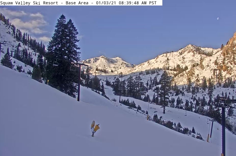
Sunday:

We have mostly sunny/partly cloudy skies Sunday morning with winds coming down slightly. Increasing clouds for the afternoon. Ridgetop winds gusting to 40+ mph from the west. Highs in the 30s on the mountain. 

Monday Storm:

The next storm moves in after midnight during the early morning hours Monday with light precipitation and then heavier precipitation during the day into the afternoon as the cold front approaches and moves through. Then snow showers behind the front could linger into the evening before ending before midnight.

Snow levels start out above the base Monday morning around 6500-7000 ft. Then dropping to the base by evening. The timing on the snow levels dropping later in the day will make a big difference for snowfall amounts at the base. Ridgetop winds will be gusting from the southwest up to 100+ mph and will likely close down some upper mountain lifts.

Snowfall amounts around 1-5 inches at the base after a change to snow later in the day, 9-13 inches at mid-mountain, and  11-15 inches of new snow up top by Tuesday morning.

Tuesday – Wednesday:

A break in the action for Tuesday with mostly sunny skies and highs in the 30s. Winds drop off in the morning and turning southerly. Wednesday we may start sunny with increasing clouds during the afternoon. Highs in the 30s again with ridgetop winds increasing from the south to 50+ mph during the afternoon.

The next (weak) system moves through quickly later Wednesday afternoon through Wednesday evening. Snow levels starting above 7000 ft. & falling below the base. Based on the latest forecast model trends, we could see a dusting to an inch at the base, and 1-3 inches of snow on the mountain Wednesday night.

Long-Range:

We should see another break Thursday with mostly sunny skies and highs in the 30s with lighter winds. Then the next weak system may bring some light snow to the mountain Friday. 

Another break Saturday and another weak system is possible for next Sunday. We may continue to be on the southern edge of the storm track to start the week of the 11th, but then a drier pattern could be setting up for later in the week through mid-month.

BA

lake tahoe weather snowfall forecast Squaw Weather Forecast
Bryan Allegretto
Bryan Allegretto

Share this article:

Recent Posts

  • Weather ·
  • September 19, 2023·
The predicted El Nino pattern for this winter

2023-24 Palisades Tahoe Winter Forecast Preview…

As we look ahead to the 2023-2024 winter season, it's important to remember that any winter outlook will contain an inherent degree of uncertainty. However, there are a few clues that we can keep an eye on.
Read more
  • Weather ·
  • May 8, 2023·

Final Forecast of the 2022-23 Season

First Week of May Snowfall Report: The first week of May was a cold and snowy one. The upper mountain…
Read more
  • Weather ·
  • May 1, 2023·

Snowy First Week of May

Monday – Friday Snow Shower Chances: A low-pressure system will be making its way south down the coast on Monday…
Read more

Social

Instagram Twitter Facebook Youtube

Contact

   Email Us
   1.800.403.0206

Our Partners

U.S. Forest Service Logo
1960 Olympic Valley Road
Olympic Valley, CA 96146

©2022 Palisades Tahoe

Alterra Mountain Company
  • Privacy Policy
  • Terms of Service
  • Photo Upload Terms of Use
  • Accessibility
  • Do Not Sell My Personal Information
  • Privacy Policy
  • Terms of Service
  • Photo Upload Terms of Use
  • Accessibility
  • Do Not Sell My Personal Information