Skip to content
Palisades Tahoe Logo Palisades Tahoe Logo Palisades Tahoe Logo
Explore
Main Menu
  • Explore Palisades Tahoe
  • Base to Base Gondola
  • Our New Name
  • Explore Legendary Lifts
  • Palisades Tahoe Blog
  • About Lake Tahoe
  • About Us
Plan Your Visit
Main Menu
  • Tickets & Passes
  • Lodging
  • Lessons & Guides
  • Deals & Packages
  • Rentals & Demos
  • Travel Here
  • Getting Around
Mountain Information
Main Menu
  • Snow and Weather
  • Lift and Grooming Status
  • Webcams
  • Hours of Operation
  • Trail Maps
  • Parking & Road Conditions
  • Snowfall Tracker
Events & Activities
Main Menu
  • Events Calendar
  • Activities
  • Dining & Apres
  • Shopping
  • Things To Do In Lake Tahoe
  • Groups, Meetings & Weddings
  • Ski & Snowboard Teams
IKON PASS HOLDER LODGING DISCOUNT

Ikon Pass holders save up to 20% on slopeside lodging at The Village at Palisades Tahoe.

SLOPESIDE LODGING
Icon / FlashCreated with Sketch.
View All Offers
  • Weather

Rain & Snow Falling, More Possible This Weekend

  • Mar 15, 2022
  • 8:27 am

Tuesday System:

Rain and snow are falling Tuesday morning with snow levels hovering between 6500 – 7000 ft. The steady precipitation will taper to scattered showers by late morning into the afternoon, and we clear by later in the day. Ridgetop winds gusting up to 60-70+ mph from the southwest will fall through the afternoon. Highs into the 40s at the base and 30s up top.

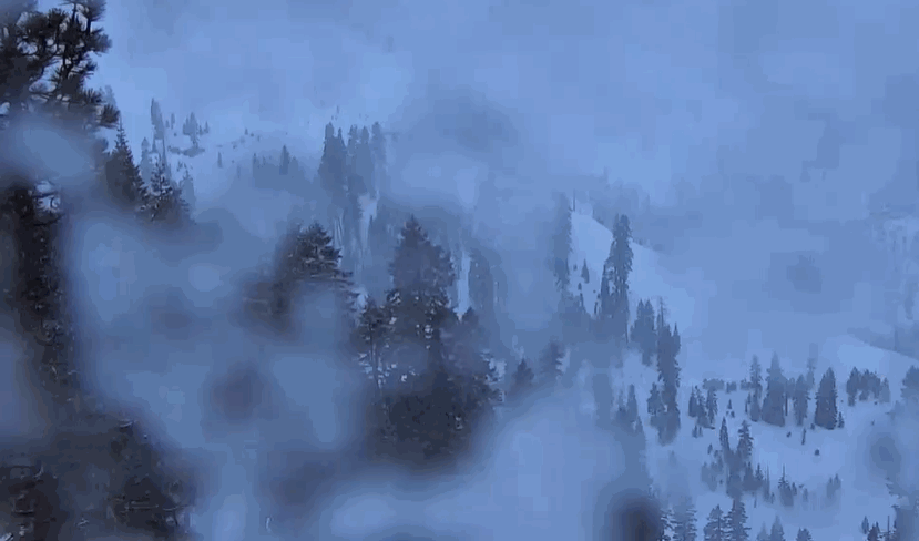
As of the time of reporting early Tuesday morning, there was only a coating of snow so far. Still expecting rain at the base and part of the lower mountain, with a coating up to 5 inches of snow on the upper mountain above 6500-7000 ft. More the higher you go.

Wednesday – Friday:

Wednesday through Friday looks to be drier and milder as high pressure builds back in over the region. Expecting mostly sunny skies with highs into the 40s on the mountain and near 50 degrees at the base. The winds should be light as well. We could see some clouds Thursday as a falling apart system moves through.

Weekend Storm:

A colder storm moves in by later morning Saturday, with snow showers possibly continuing into Saturday night into early Sunday morning before clearing Sunday morning. Highs drop into the 30s for the weekend. Gusty winds Saturday up to 60-70+ mph from the southwest up top.

Snow levels could start around 7000-7500 ft. Saturday morning and fall to around 6000-6500 ft. during the afternoon, and below 5000 ft. Saturday night. The latest model runs are declining with the total precipitation amounts through Saturday night. We could see 1-3 inches at the base and 2-5 inches of snow on the upper mountain. We’ll fine-tune the forecast as we get closer.

The sun should return during the day on Sunday with lighter winds but chilly with highs in the 30s.

Long-Range:

Next week the long-range models are suggesting that we could go back into a dry and mild pattern through Friday the 25th.

The ridge may break down the last week of the month, with a more active pattern possible the last 3-5 days of the month. We’ll continue to watch the trends as we get closer.

BA

lake tahoe weather palisades tahoe weather forecast snowfall forecast
Bryan Allegretto
Bryan Allegretto

Share this article:

Recent Posts

  • Weather ·
  • March 21, 2023·

Weak Systems & Snow Showers thru Sunday

Tuesday Storm: The next storm pushes snow showers back in by later Tuesday morning, with steadier snow through Tuesday afternoon.…
Read more
  • Weather ·
  • March 20, 2023·

More Weak Systems Tuesday-Friday

Snowfall Reports: No real surprises with the weak storm that moved through on Sunday. We were expecting 3-11 inches from…
Read more
  • Weather ·
  • March 19, 2023·

Two More Storms Sun & Tue

Sunday Storm: Snow showers are moving in Sunday morning, and will continue through the day before becoming more scattered Sunday…
Read more

Social

Instagram Twitter Facebook Youtube

Contact

   Email Us
   1.800.403.0206

Our Partners

U.S. Forest Service Logo
1960 Olympic Valley Road
Olympic Valley, CA 96146

©2022 Palisades Tahoe

Alterra Mountain Company
  • Privacy Policy
  • Terms of Service
  • Photo Upload Terms of Use
  • Accessibility
  • Do Not Sell My Personal Information
  • Privacy Policy
  • Terms of Service
  • Photo Upload Terms of Use
  • Accessibility
  • Do Not Sell My Personal Information