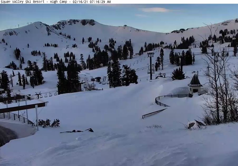
Skip to content
palisades tahoe
Explore
Main Menu
  • Explore Palisades Tahoe
  • Discover Palisades Tahoe
  • Our Name Change
  • Explore Legendary Lifts
  • Palisades Tahoe Blog
  • About Lake Tahoe
  • Mountain Safety
Plan Your Visit
Main Menu
  • Lodging
  • Tickets & Passes
  • Lessons & Guides
  • Deals & Packages
  • Rentals & Demos
  • Travel Here
  • Ikon Pass Benefits
Mountain Information
Main Menu
  • Weather
  • Lift Status
  • Webcams
  • Hours of Operation
  • Trail Maps
  • Parking & Road Conditions
  • Snowfall Tracker
Events & Activities
Main Menu
  • Aerial Tram
  • Events Calendar
  • Activities
  • Dining & Apres
  • Shopping
  • Groups, Meetings & Weddings
  • Ski & Snowboard Teams
Summer High Camp Tram with wildflowers.
Basecamp for Lake Tahoe
Palisades Tahoe is the beating heart of Lake Tahoe adventure. Plan your trip with us today.
PLAN YOUR VISIT
Icon / FlashCreated with Sketch.
View All Offers

Partly-Mostly Sunny Through Wednesday

  • By Bryan Allegretto
  • Weather
  • Feb 16, 2021

Snowfall Report:

We saw rain at the base Monday turning to a few flakes Monday evening. We saw 1-2 inches of wet snow on the upper mountain during the day with 1-2 final inches of colder snow Monday evening. That brought the 24-hour reports this morning to 3-4 inches up top, and 1 inch at the base. The 2-day storm total is 5-6 inches on the upper mountain, and the 5-day snowfall total ends up at 30-31 inches up top.

Tuesday – Wednesday Forecast:

Expecting partly-mostly sunny skies for Tuesday – Wednesday. Highs in the 30s. Ridgetop winds gusting 20-30+ mph from the northwest Tuesday, turning more northerly and gusting 40-50+ mph for Wednesday.

Thursday – Saturday System:

We may see some sun Thursday morning with increasing clouds Thursday afternoon ahead of the next storm that is expected to move in Thursday evening. This is a two-part system that could start warmer with snow levels around 7000-8000 ft. Thursday night into Friday, and then a colder part Friday night into Saturday with snow levels dropping below the base. Ridgetop winds could be gusting to 70+ mph Friday, possibly affecting some upper mountain lifts, then coming down some for Saturday.

We could see light to moderate snow showers on the upper mountain Thursday night into Saturday morning before the system clears out Saturday afternoon. We could see 0-2 inches of snow at the base after a change from rain to snow Friday night, and 4-9 inches on the upper mountain through Saturday morning. Highs in the 30s both days. 

Long-Range:

High-pressure building in near the CA coast by Sunday may bump the storm track to our north into early next week. We may see drier weather with highs in the 30s & 40s Sunday, and then possibly warming into the 40s & 50s early next week. 

The pattern may shift the last few days of the month into the first few days of March with an active storm track returning.

BA

Share this article
Picture of Bryan Allegretto
Bryan Allegretto

Recent Posts

  • Weather ·
  • April 30, 2025·

Weekend Snow Showers Possible

There is a chance for high elevation snow showers for the first weekend of May. The mountain is aiming to…
Read more
  • Weather ·
  • April 28, 2025·

11 Inch Weekend Snowfall Total!

Snowfall Report: The weekend storm brought snow down to the base as we expected. We saw several inches accumulate on…
Read more
  • Weather ·
  • April 24, 2025·

Winter’s Quick Return

All of the focus this week is on winter’s last gasps over the weekend, as snow showers and low snow…
Read more

Social

Instagram Twitter Facebook Youtube

Contact

   Email Us
   1.800.403.0206

Our Partners

U.S. Forest Service Logo
1960 Olympic Valley Road
Olympic Valley, CA 96146

©2025 Palisades Tahoe

Alterra Mountain Company
  • Privacy Policy
  • Terms of Service
  • Photo Upload Terms of Use
  • Accessibility
  • Do Not Sell My Personal Information
  • Privacy Policy
  • Terms of Service
  • Photo Upload Terms of Use
  • Accessibility
  • Do Not Sell My Personal Information