

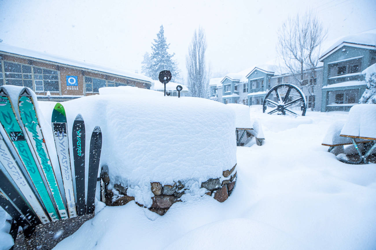
Snowfall Report:
21-23 inches of new snow fell on the upper mountain in the past 24 hours, & 15-19 inches at the base. That brings the 3-day storm totals on the upper mountain to 63-65 inches, and the 7-day total to 78-80 inches!
Friday:
We could see lingering snow showers Friday morning with a final 1-2 inches of snow possible. Some clearing later in the day with some sun. Highs in the 20s on the upper mountain and 30s at the base with lighter winds.
The Weekend:
We will see drier weather Friday afternoon through the weekend and into Monday as the next storm stalls well to the north. Lighter winds, and highs in the 30s on the mountain. A beautiful weekend to enjoy the new snow!
We should have mostly sunny skies Saturday. Sunday the next storm is just to the north, so we could see some clouds.
Monday – Tuesday Storm:
We could see partly sunny skies Monday morning with increasing clouds and wind by afternoon. Ridgetop winds increasing to 70+ mph. The next storm moves into northern CA Monday afternoon/evening and could last into Tuesday evening before ending Tuesday night.
Snow levels could start above the base around 6500-7000 ft. Monday afternoon, but then falling below the base Monday night. The heaviest snow could fall Tuesday morning as the cold front moves through. Then lingering snow showers into Tuesday evening. The snow becoming more powdery as the storm goes on.
We could see 12-18 inches at the base, and 18-25 inches on the mountain by Tuesday night.
Long-Range:
We will see a drier pattern build in starting around Wednesday through the end of next week. Expecting mostly sunny skies with highs in the 20s & 30s.
Some forecast models suggest we could start to see some colder systems moved down from the north the 2nd week of February. More on that as we get closer.
BA
