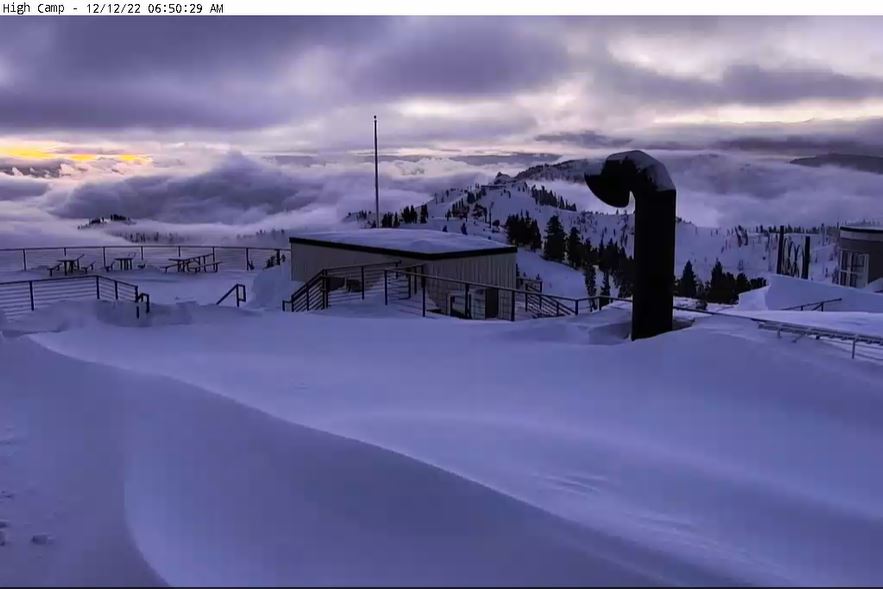
Snowfall Report:
A final 16″ of snow fell on the mountain Sunday with the final round of snow showers that moved through with the big storm. That brought the weekend storm total to 52 inches! Right on par with the 3-5 feet we were expecting from this storm from bottom to top on the mountain.
Monday – Sunday:
Monday we will see clearing with partly sunny skies becoming mostly sunny later in the day. It will be cold with highs continuing to be in the 20s. The winds will pick up a bit up top from the north, with gusts up to 30+ mph possible Monday afternoon. That will make it feel even colder!
The cold and dry pattern is expected through Sunday. Expect mostly sunny skies each day with highs in the 20s on the mountain and 30s at the base. The winds should stay fairly light through the period as well.
Long-Range:
The long-range forecast models are holding off on any storms until Tuesday night the 20th on the latest runs. High pressure looks to build in near the CA coast next week which may make it harder for storms to track far enough south to reach Tahoe with any meaningful snowfall. Some models suggest a better storm later next week but we’ll see…
BA


