

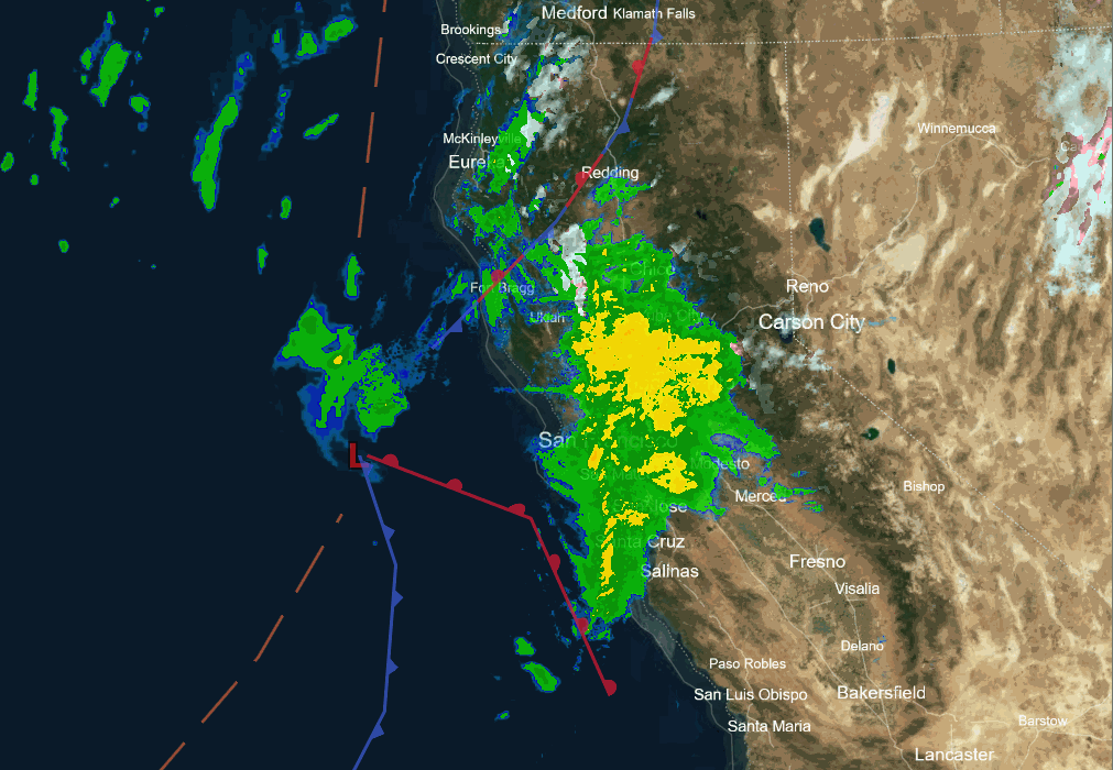
Snowfall Report:
The snow continued through Friday night dropping several more inches of snow over the mountain. As of 6 AM Saturday morning, ski patrol is reporting 24-hour totals of 5-13 inches of new snow from the base to the summit. That is on top of the 4-13 inches that fell on Thursday, with 2-day totals of 9-26 inches and counting!
Saturday Snow:
We will see snow, heavy at times, into Saturday afternoon. The winds have dipped a bit this morning, but are expected to pick back up during the day on Saturday, with ridgetop gusts up to 80-100+ mph from the southwest. That should close some upper mountain lifts. Highs in the 30s for the lower elevations and 20s for the higher elevations.
The latest model runs show snow showers ending by early Sunday morning. Snowfall will become lighter and showers Saturday night and the winds will start to drop. We are getting lucky with this storm as the trend farther south and the front moving faster have kept snow levels down to the base.
By early Sunday morning, we could see an additional 10-15 inches of snow near the base, 13-18 inches near mid-mountain, and 15-21 inches up top! Most of the snowfall is expected to fall by Saturday evening, with only around 2-4 inches expected Saturday night. We will tally up the 2-day storm totals and the 4-day snowfall totals Sunday morning.
Sunday Sun Day:
Sunday is going to be the quintessential Tahoe Powder Day. The skies clear with sunny skies, the winds drop off, and highs will warm into the 30s. Get on it early and you should have a very fun day. Likely getting a little sticky for the lower elevations with the sun and high temps by afternoon.
Monday System:
The latest trend on the models is back towards slightly more precipitation with the wimpy Monday system that moves in during the morning and clears by evening. We will be catching the southern edge of this system.
We are expecting strong winds during the day with ridgetop gusts up to 70-90+ mph from the southwest. So expect some upper mountain lift closures again. A typical Tahoe storm day. Highs in the 30s. The snow levels could rise up just above the base to 6300-7300 ft. depending on the precip intensity, so some rain could mix in.
With the slight increase in totals, the snowfall forecast is bumped back up slightly. We could see a coating to an inch at the base, 1-3 inches near mid-mountain, and 2-4 inches up top by Monday night.
Tuesday – Friday:
We expect high pressure to build in over CA starting Tuesday with a dry pattern through Friday. Mostly sunny days. Highs in the 30s to start on Tuesday but warming into the 40s for Wednesday – Friday.
Long-Range Forecast:
The long-range models continue to show a large low-pressure trough pushing in close to the West Coast by the 21st. That could be enough to help push a storm into the northern Sierra on the 21st – 22nd.
The latest ensemble mean model runs through the Christmas holiday period show high pressure farther west over CA, with the trough in the northeast Pacific retracted, but still close to the Pacific NW coast. That pattern could continue to see storms reach the Pacific NW coast, but fall apart and dry up as they push farther south toward northern CA.
We could get brushed with some light precipitation on the southern edge of storms to the north, or we could stay dry. We’ll keep an eye out for any stronger storm that could have luck in pushing far enough south to bring us a little snow for the holidays.
BA
