

Wednesday:
Wednesday will feature partly to mostly sunny skies with highs in the 30s on the upper mountain and 40s at the base. Ridgetop winds gusting 30-40+ mph from the west by afternoon.
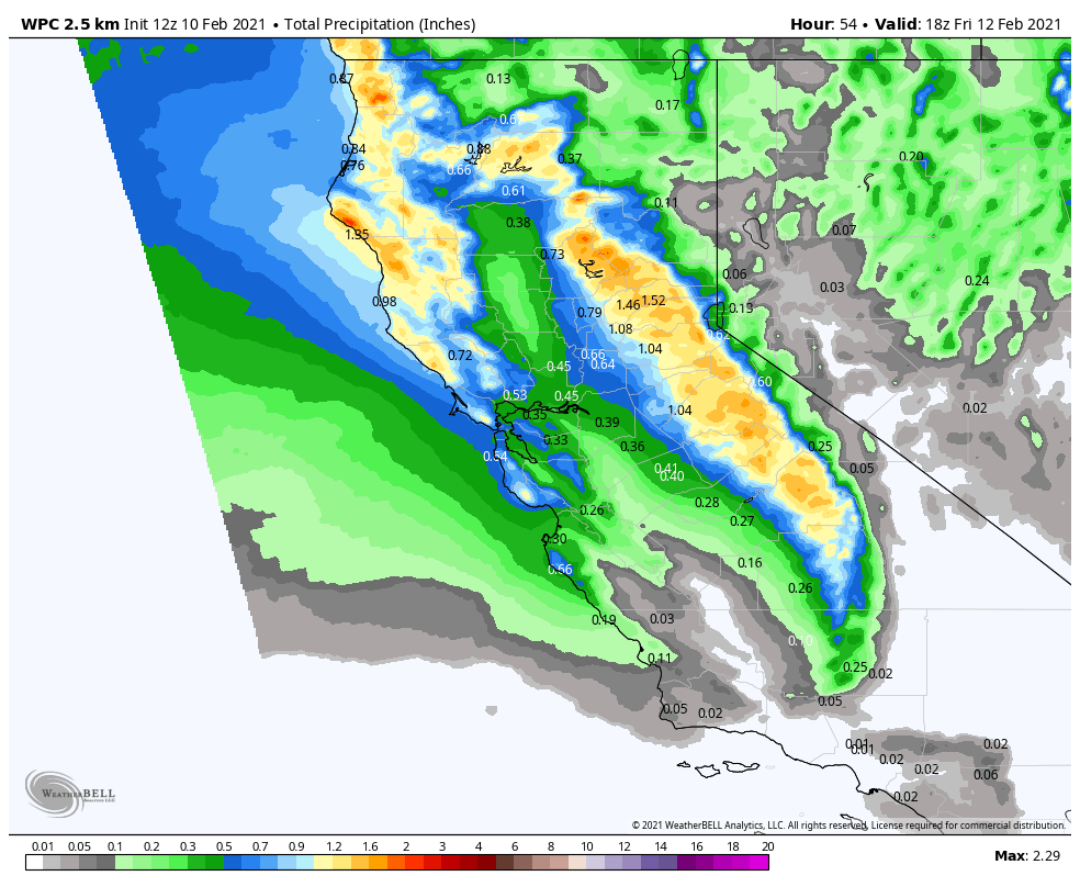
Thursday – Thursday Night Storm:
The next storm will push into northern CA by midday Thursday into Thursday night and then clearing out by Friday morning. There is still a large spread among the forecast models for total precipitation/snowfall amounts.
We start out with higher snow levels around 6500 ft. (just above the base) so some rain showers possible at the bottom of the mountain. Then steadier snow moves in by Thursday evening with snow levels falling below the base. The question for the base will be how fast they fall during the evening. A few snow showers could linger into early Friday morning before clearing.
We could see 3-9 inches of new snow at the base, and 6-14 inches on the mountain by Friday morning. Ridgetop winds could gust up to 60+ mph by Thursday afternoon, possibly affecting some upper mountain lifts, then falling Friday morning to 40-50 mph.
We should see mostly sunny skies by late morning through the afternoon Friday, with highs in the 30s.
Saturday Storm:
Another system will push into northern CA early Saturday morning with more snow expected through the day on Saturday, and then clearing Saturday night. We should see all snow to the base with this storm.
We could see 2-6 inches at the base and 4-8 inches on the mountain by Saturday evening. Lighter winds expected with this system with ridgetop gusts 40-50+ mph.
Expecting mostly sunny skies for Sunday with lighter winds and highs in the 30s.
Long-Range:
The long-range models suggest that we could see another system move through Mon-Tue with more snow. We could see several more inches through Monday night. We will fine-tune the details as we get closer.
The pattern could remain active with more systems possible later next week into the weekend of the 20th.
BA
