Snowfall Report:
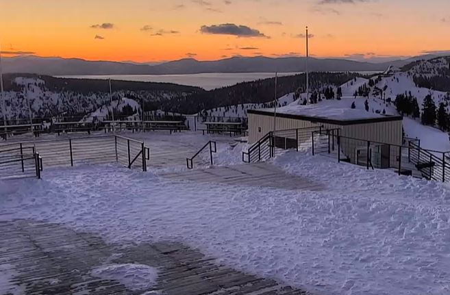
The scattered snow showers on Sunday dropped a final 2 inches of snow on the upper mountain. That brings the 5-day snowfall totals to 22 inches as we transition into a drier and milder pattern for a few days.
Monday – Wednesday Weather:
High pressure over CA will bring mostly sunny skies through Wednesday morning. We have ridgetop winds from the east gusting up to 30-40+ mph on Monday. They will drop Tuesday but then increase again Wednesday ahead of the next storm along with clouds increasing by afternoon. Southwest gusts up to 60-70+ mph by evening. Highs in the 40s Monday & 50s for the lower elevations Tue-Wed.
Wednesday Night – Friday Storm:
We could see rain showers reach the mountain by late afternoon on Wednesday. Then the steadiest precipitation is expected with the cold front moving through Wednesday night. Then showers and scattered showers for Thursday through Friday night as the low-pressure center behind the front drifts south through CA.
The gusty winds will continue into Thursday but drop through the afternoon. Then lighter winds for Friday. Highs drop into the 30s for both days. With the showers Thursday – Friday we could see the sun peek out, especially on Friday.
Snow levels start very high Wednesday afternoon, up around 9000 ft, but the latest model runs drop them faster and lower Wednesday night. Down to around 6500-7000 ft. by 11 PM and below the base after midnight. Then the snow levels will stay below the base for Thursday and Friday.
With half or more of the precipitation forecast to fall Wednesday night, the snowfall forecasts are tricky as the snow levels are falling 4000 ft. as the steadiest precipitation is falling. On Thursday and Friday, only 1-3 inches may fall each day depending on where the snow showers move through. Storm totals by Saturday morning could be around 2-6 inches at the base and 6-11 inches on the upper mountain.
The Weekend:
The cold and unsettled pattern remains over the region for the weekend. Highs are still in the 30s. A weak system moving through may bring scattered snow showers both Satuday and Sunday as well as partly sunny skies between the showers.
Next Week:
The long-range forecast models continue to show high pressure building in next week bringing back a drier and milder pattern. We should see a lot of sunny skies throughout the week. Highs warming into the 40s by Monday and then 50s for the lower elevations by Tuesday.
Long-Range Forecast:
The long-range models continue to show the ridge shifting around mid-month, possibly opening the door to weak systems going into the 3rd week of April. We’ll continue to watch the trends to see if we could refresh the slopes a few more times with a little snow before the end of the month.
BA


