

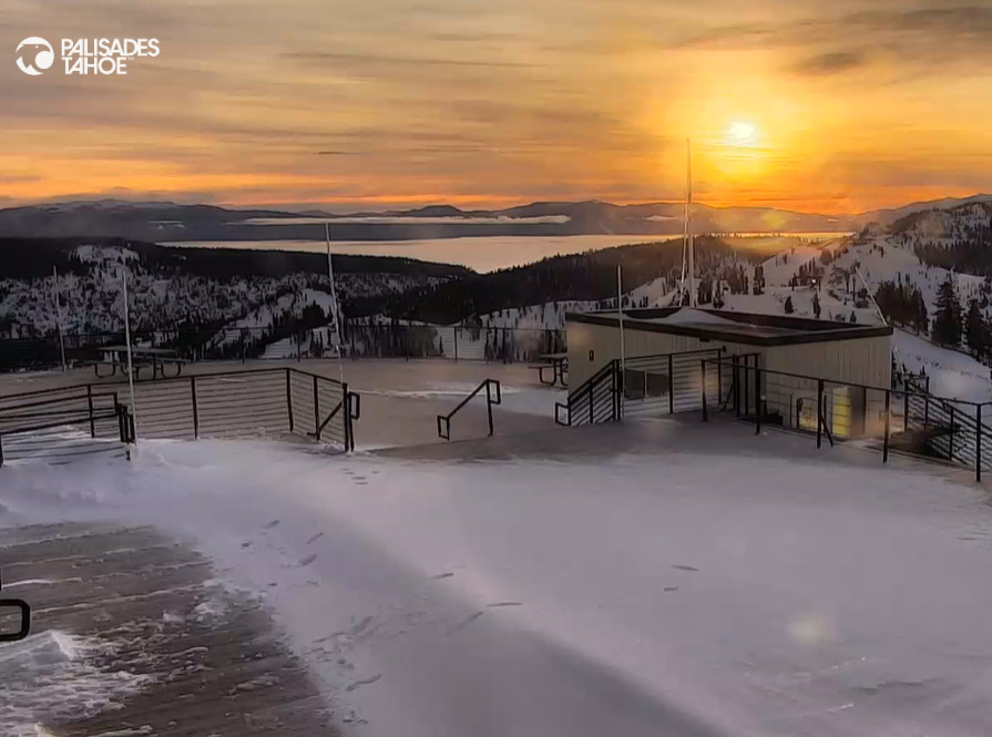
Snowfall Report:
The storm on Monday brought a little snow to the base with a little rain at the end, as expected. On the mountain, we expected 1-5 inches from bottom to top and we picked up 1-6 inches, so pretty close to what we expected from the storm.
Tuesday – Friday Sun:
High pressure will dominate our weather pattern through Friday. Mostly sunny days with highs in the 40s, and near 50 degrees down in the village Wed-Fri. We could dip into the 20s at night with a freeze-thaw cycle through Friday.
Weekend Wind & Rain:
The latest runs are at odds with a storm moving through Saturday and another Sunday. Some models show the Saturday storm staying to our north with the Sunday storm reaching us, some show the opposite with the Saturday storm reaching us and the Sunday storm staying to our north, and others show both bringing us some rain & high elevation snow.
The more certain thing seems to be the winds and that these are warm storms. We could see ridgetop winds gusting up to 80-90+ mph on Saturday, likely closing some upper mountain lifts, and 40-50+ mph for Sunday. Highs in the 30s on the mountain and 40s down near the base.
The snow levels look to be quite high with these storms. They could start up around 8500-9500 ft. Saturday and only fall to around 7500-8500 ft. by Saturday night. Then possibly staying around 8500-9500 ft. for Sunday into Sunday night. That would mean mostly rain for the weekend below 8000 ft. and wet snow up top.
We could see 1-5 inches of wet snow from 7500 ft. up to the peaks, with the high-end above 8500 ft. where we could see all snow. We’ll continue to watch the trends, but it looks like a wet and windy weekend as of this morning.
Monday Weather:
We could be on the southern edge of another storm that moves through to our north on Monday, as the active pattern continues to bring storms through the Pacific NW almost daily. We’ll watch the trends to see if we could see another day of likely rain showers for the lower elevations.
Christmas Eve Storm:
Amid the active and mild pattern, the latest model runs continue to show a trough digging through northern CA for a day with a colder storm and snow. We’ll continue to watch this storm to see if it could bring several inches of snow next Tuesday. Tuesday will likely be windy, but Christmas morning could be fun if the milder air stays away until later.
Long-Range Forecast:
Beyond Christmas, the long-range models continue to show us in a +EPO pattern with a large NE Pacific trough and strong jet stream flowing underneath towards the Pacific NW. This pattern could last through the weekend of the 28th-29th.
That puts northern CA on the southern edge of the active pattern again, with wet storms pushing into the Pacific NW and some likely bringing some light precipitation and others maybe some heavy precipitation as far south as the Tahoe basin. Overall wetter from Tahoe north and drier to the south.
We will have to watch these storms closely and it’s not guaranteed they dig far enough south to bring heavy precipitation to the northern Sierra. If they do we are on the warm side of the jet and will likely have to deal with some higher snow levels and strong winds. Active doesn’t mean cold and snowy, but let’s hope for some snow.
BA
