

Thanksgiving Week:
The forecast through the end of the week has not changed. The weather will remain quiet with temperatures warming through the end of the week as high pressure builds over the West.
High temperatures in the 40s at the base and 30s up top to start the week and then warming into the 50s at the base and 40s up top by Thanksgiving Day.
The dry weather with mostly sunny days could extend into Saturday, but we will be on the edge of a pattern change, so some models like the European try to bring in a weak system with rain showers. So we’ll keep an eye on that.
Pattern Change:
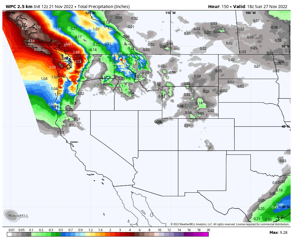
The pattern change starting Sunday is still on track as the initial trough is forecast to dig into the West Coast. We could see some showers on Sunday and likely gusty winds on the mountain. So it may begin to feel stormy and cool down, but the snow levels look to start high during the day.
By Sunday night the long-range models continue to show a cold front associated with the trough and a colder low moving into the West Coast into next Monday the 28th. If you are planning to travel up to the mountain for Thanksgiving and to leave Sunday afternoon/evening, definitely keep an eye on the forecast as you may want to leave earlier if this storm forecast verifies.
It’s still too early to look at the details but we will start to look at possible snowfall amounts by Wednesday if the forecast holds. Snow levels will likely drop below lake level Sunday night into Monday, so we could see a decent shot of snow on the mountain with this storm if the trends continue.
Long-Range:
The long-range models suggest additional troughs dig into the West through the end of next week and possibly hanging around through the first 3-4 days of December. That could keep the storm door open to additional cold systems dropping into northern CA from the north/northwest through the period.
BA
