

Snowfall Report:
The upper mountain picked up another foot of snow Saturday while the base only picked up an inch with some rain that mixed in. That brings the 7-day snowfall total to 43 inches on the upper mountain! More snow on the way this week. We will end up with more snow in April than Jan-Mar combined.
Sunday – Monday:
High pressure over the region Sunday into Monday is bringing us mostly to partly sunny skies and milder temperatures. Highs into the 50s at lake level and 40s on the upper mountains. We do have some breezy southwest winds gusting up to 50+ mph over the ridgetops on Sunday.
Monday the winds are going to crank back up ahead of the next storm. Ridgetop winds could gust up to 80+ mph from the southwest in the morning and up to 100+ mph by the end of the day. That should close some upper mountain lifts. Sunday is the last day of operations for the Alpine side of the resort.
Monday Night – Tuesday Storm:
Rain & snow should push in around midnight – 2 AM Monday night. Snow levels start up around 6500-7500 ft. and fall to 6000-7000 ft. by Tuesday morning. The heaviest precipitation is expected Tuesday morning as a front moves through. Then we should see the precipitation diminish into the afternoon and clear out by evening. Snow levels could dip a few hundred feet lower under the heaviest showers before bumping back up by afternoon.
Highs in the 30s. Ridgetop winds gusting up to 100+ mph first thing in the morning and then falling to 50-60+ mph from the southwest by the end of the day. That could delay some lift openings on the upper mountain.
At the base, we could see a change to snow Tuesday morning but we should start as rain and could finish with some rain. So I have a range of a coating up to 4 inches depending on the snow levels. 3-8 inches of new snow expected on the upper mountain by Tuesday evening.
Wednesday – Friday Storm:
We may have a break between storms Tuesday night into Wednesday morning, but then the latest model runs have precipitation pushing back in as early as midday Wednesday. The precipitation looks to start out light Wednesday afternoon along with high snow levels up around 6500-7500 ft. Highs into the 30s and near 40 degrees at the base. Ridgetop winds gusting up to 80+ mph likely closing some upper mountain lifts.
Wednesday night the first wave, of what looks to be 2 waves rotating inland around the main low off the coast, moves into CA with heavier precipitation and falling snow levels. A 2nd wave rotates in Thursday with more steady precipitation. The winds could fall on Thursday with ridgetop gusts up to 60+ mph and lighter for Friday. Highs remaining in the 30s. The main low moves through Thursday night and clears east on Friday. We could see lighter and scattered showers into Friday but mainly starting to clear by afternoon it looks like.
Snow levels fall Wednesday night down to around 3800 – 4800 ft. by early Thursday morning. That means all snow to the base once the storm gets going by later Wednesday night into Thursday. Snow levels could hover in the 5000-6000 ft. range on Thursday and then fall down to 3000-4000 ft. by later Thursday night as the storm starts to wind down. Any lingering showers on Friday could see snow levels bump back up to 6000-7000 ft. by afternoon.
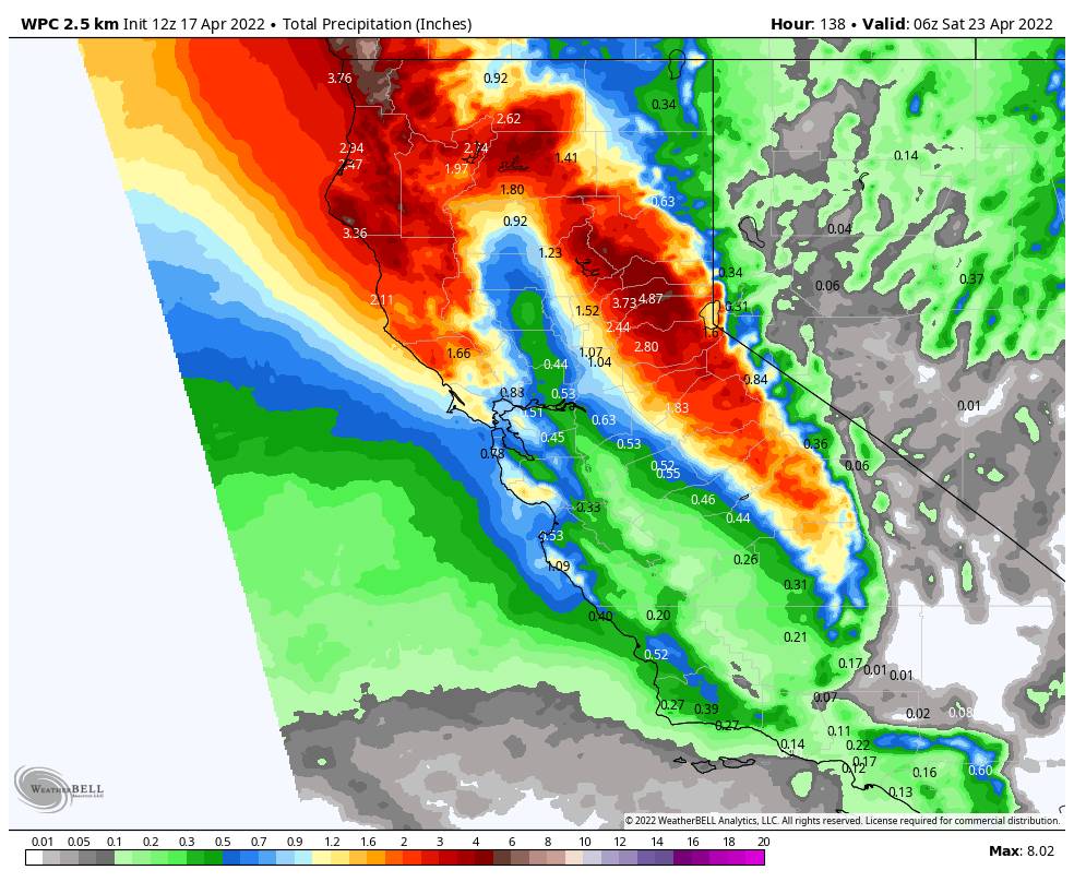
This should be an impressive snowstorm by April standards if the current forecasts hold. Several inches of snow up to a foot+ is possible at the base, and 1-2+ feet of snow are possible on the mountain by Friday. We will continue to fine-tune the forecast all week.
Long-Range:
The weather should become nicer by next weekend as high pressure builds in. The storm track will be just to our north, so we will have to watch for any possible storms trying to dip into NorCal.
By the end of the month, the trough in the northwest could be a bit farther south. We will have to watch for any late-season systems dipping into CA. The GFS model this morning had a decent late-season storm on May 1st. We’ll keep an eye on the trends for late month into May.
BA
