

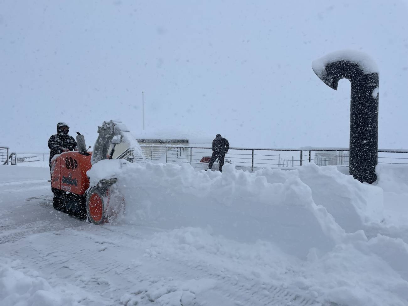
Snowfall Reports:
The rain turned to snow at the base early Saturday morning and it DUMPED snow all day on the mountain and in the village. Snowfall reports are the same top to bottom of 35″ of new snow in 24 hours! That brings the storm total for the upper mountain to 40″ over the last 2 days. Just over the high end of my forecast for 28-35″ with this storm!
New Year’s Day:
We have a break between storms for Sunday (New Year’s Day). We should see mostly sunny skies by afternoon along with lighter northeast winds. Highs into the 30s at the base and 20s up top. Give mountain ops a little extra time in the morning to dig out and open lifts.
Monday Storm:
The next storm is expected to move in Monday afternoon into Monday night. It will be a colder and weaker system. Highs in the 30s at the base and 20s up top. Ridgetop winds gusting up to 40-50+ mph by afternoon. By Tuesday morning we could see new snowfall amounts of:
- 2-5 inches at the base.
- 3-7 inches on the mountain.
Tuesday:
A break for Tuesday with partly sunny skies and highs into the 20s & 30s. West winds could still be a little breezy up top, gusting between 30-50 mph through the day.
Wednesday – Thursday Storm:
Another strong storm moves into northern CA by later morning on Wednesday. Expect increasing clouds and winds Wednesday morning, with ridgetop gusts up to 70-80+ mph from the southwest by afternoon. That could close some upper mountain lifts. The strong winds could continue into Thursday morning before dropping through the afternoon. Highs in the 30s on both days.
The snow could start out lighter Wednesday into Wednesday evening as the flow turns southerly ahead of the front, which could limit some of the heavier precipitation pushing into the Tahoe basin. Snow levels could also rise and peak out above the base around 7000 ft. for a time Wednesday evening before falling below the base again Wednesday night through Thursday.
Heavier snow is expected by Thursday morning with the cold front moving through during the day. Snow showers continue into Thursday night and become lighter and more scattered into Friday morning. Then clearing out sometime Friday morning. With the slowing of the heavier precipitation arrival Wednesday I did lower the snowfall forecast some.
I’m going to assume that we see a little rain mix in at the base Wednesday afternoon/evening in my snowfall forecast. Here is the updated snowfall forecast for this storm:
- 13-20 inches at the base.
- 20-24 inches at the mid-mountain elevations.
- 24-34 inches on the upper mountain.
Friday:
We should see another break in the storms for Friday with partly sunny skies. Highs in the 30s at the base and 20s up top.
Long-Range:
Storms are expected to continue into the weekend of the 7th-8th, and possibly into the week of the 9th. There is uncertainty about the strength of the storms as they may start to split and weaken as they approach CA next weekend.
We’ll keep you updated on the latest trends as we get closer…
BA
